2000s (21st Century) Maps of Piney Fork, North Carolina
Explore 6 historic maps of Piney Fork from the 2000s (21st Century). These maps offer a rare glimpse into what life looked like during the 2000s — showing old roads, neighborhoods, homes, and landmarks that have changed or disappeared over time.
Whether you're researching your family's past, planning a metal detecting trip, or studying how Piney Fork's landscape evolved across the 2000s, these high-resolution maps are a powerful tool for exploring the history of this region.
- Focus on a specific era: All maps on this page are from the 2000s, giving you a focused view of this time period.
- See what’s changed: Compare century-old streets, trails, and buildings to today's modern landscape using overlays and satellite layers.
- Research with precision: Use these maps for genealogy, historical research, land use analysis, or educational projects.
- View, download, or print: Maps are fully viewable online in high resolution, and can be downloaded or printed for your own records.
Start exploring Piney Fork's history through authentic maps from the 2000s. This is your window into the past.
Piney Fork, NC maps
(6)- 2002 Map of Southwest Eden
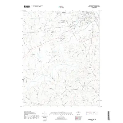
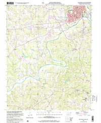 2002 Southwest Eden2002 Print · USGSRockingham County in the early twenty-first century reveals a landscape defined by the winding Dan River and the expanding footprint of Eden. Genealogists and local historians can trace the sites of Rockingham Community College, the Shiloh Airport, and numerous rural sanctuaries like Settles Bridge Ch.
 - 2010 Map of Southwest Eden, 2010 Print
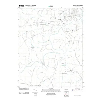 2010 Southwest Eden2010 Print · USGSCovers Piney Fork, including Eden, Wentworth, and other nearby areas
 - 2013 Map of Southwest Eden, 2013 Print
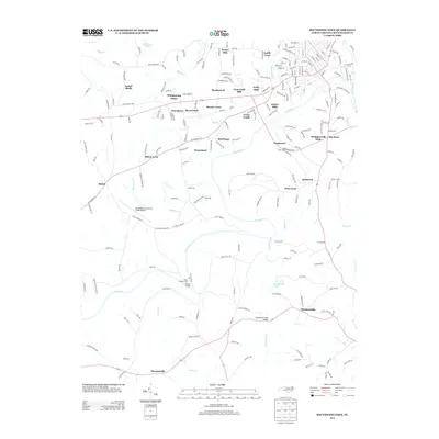 2013 Southwest Eden2013 Print · USGSCovers Piney Fork, including Eden, Wentworth, and other nearby areas
 - 2016 Map of Southwest Eden, 2016 Print
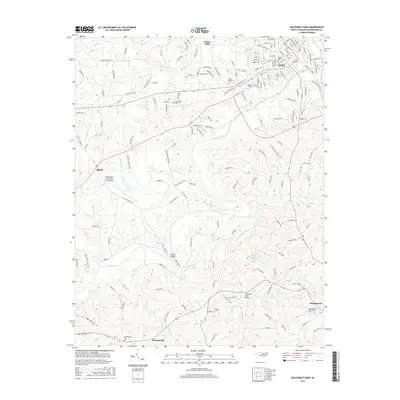 2016 Southwest Eden2016 Print · USGSCovers Piney Fork, including Eden, Wentworth, and other nearby areas
 - 2019 Map of Southwest Eden, 2019 Print
 2019 Southwest Eden2019 Print · USGSCovers Piney Fork, including Eden, Wentworth, and other nearby areas
 - 2022 Map of Southwest Eden, 2022 Print
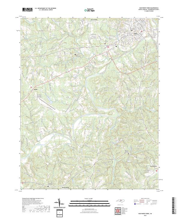 2022 Southwest Eden2022 Print · USGSThe Dan River valley in the early 2020s shows the enduring landscape of Rockingham County between the city of Eden and Wentworth. Genealogists can locate family burial sites at Lawson Cem or Ridge View Cem while tracing the winding path of Whetstone Cr.
End of results
Showing maps 1-6 of 6
Top cities near Piney Fork
- Eden historical maps
- Reidsville historical maps
- Summerfield historical maps
- Stokesdale historical maps
- Wentworth historical maps
- Mayodan historical maps
See more
Frequently asked questions
- What are the different types of historical maps available for Piney Fork?
- What is the oldest map of Piney Fork?
- Where can I purchase historical maps of Piney Fork for my home or office?
- Where can I download high-res historical maps of Piney Fork?
- Are there historical topographic maps available for Piney Fork?
- Is there historical aerial imagery available for Piney Fork?
- Where are historical maps of Piney Fork sourced from?