Old Maps of Rowan County, North Carolina for Academic Research
Study the evolution of Rowan County with 104 high-resolution historic maps. Whether you're teaching, researching, or modeling changes in land use, these maps provide essential visual documentation of urban, environmental, and geographic change.
- Analyze long-term change: Track patterns in development, transportation, and natural features.
- Ideal for environmental or urban studies: Support academic projects with primary historical map data.
- Use in the classroom or lab: Educators and researchers rely on these maps to bring historical context to life.
These maps are a powerful tool for teaching, research, and visualizing how Rowan County has changed over the decades.
Rowan County, NC maps
(104)- 1893 Map of Statesville, 1934 Print
 1893 Statesville1934 Print · USGSThe North Carolina Piedmont in the late nineteenth century was a landscape of river-powered industry and rail-connected crossroads. Researchers can trace ancestral locations through dozens of named mills like Ketchies Mill and historic crossings like Cornelius Ferry or Beattie Ford.2 unique versions available
 - 1949 Map of High Rock
 1949 High Rock1949 Print · USGSDavidson County in the late 1940s is defined by the winding Yadkin River and its rural church communities. Researchers can trace ancestral connections through family-named crossings like Bringle Ferry or find local landmarks such as Lick Creek Ch and Bald Mtn.2 unique versions available
 - 1950 Map of Churchland, 1973 Print
 1950 Churchland1973 Print · USGSThe banks of the Yadkin River at the Davidson and Davie county lines are captured here at mid-century. Researchers can trace rural schoolhouse locations and family landmarks like Union Chapel Sch, Grubb Cem, and the village of Churchland.3 unique versions available
 - 1951 Map of Churchland
 1951 Churchland1951 Print · USGSNorth Carolina's central river valleys are detailed here in the early 1950s, showing the rural communities along the Yadkin River. Researchers can locate family landmarks like the Grubb Cemetery and schools such as St Johns Sch and Union Chapel Sch.
 - 1953 Map of Charlotte, 1968 Print
 1953 Charlotte1968 Print · USGSThe North Carolina Piedmont and South Carolina borderlands are shown in detail during a period of significant growth and reservoir development. Trace the rail corridors of the Southern Railway or find family roots in towns like China Grove, Misenheimer, and Lincolnton.3 unique versions available
 - 1954 Map of Charlotte
 1954 Charlotte1954 Print · USGSThe North Carolina Piedmont in the mid-1950s shows a region of rapid growth and industrial expansion centered around Charlotte. Trace the era's infrastructure through the Southern railroad lines and locate significant landmarks like the Charlotte Naval Ammunition Depot and Lake Norman.2 unique versions available
 - 1957 Map of Denton, 1958 Print
 1957 Denton1958 Print · USGSIn the foothills of Davidson County during the late fifties, rural life centered on the banks of the Yadkin and the local rail lines. Researchers can trace family sites like Jackson Hill, rural congregations at New Jerusalem Ch, and the workings of the Silver Mine.
 - 1960 Map of Charlotte
 1960 Charlotte1960 Print · USGSMid-century North Carolina and South Carolina meet in this 1960 survey of the Piedmont's industrial and textile heartland. Trace the growth of Charlotte alongside historic landmarks like Kings Mountain National Military Park and the Charlotte Naval Ammunition Depot.2 unique versions available
 - 1962 Map of Charlotte
 1962 Charlotte1962 Print · USGSThe North Carolina Piedmont in the early sixties showcases a landscape transformed by massive reservoirs and industrial growth. Researchers can trace the development of Lake Norman, locate the Charlotte Naval Ammunition Depot, or find family landmarks like Wesley Chapel and Brown & Norcott Mills.
 - 1962 Map of Southmont, 1964 Print
 1962 Southmont1964 Print · USGSThe Yadkin River valley in the early 1960s reveals a landscape transformed by the waters of High Rock Lake. Genealogists and local historians can trace the foundations of riverside life through landmarks like Trading Ford, Southmont, and Rising Star Church.3 unique versions available
 - 1962 Map of Salisbury, 1964 Print
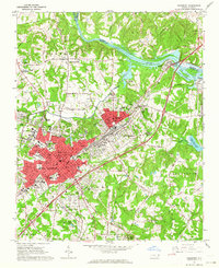 1962 Salisbury1964 Print · USGSSalisbury and its rail corridors are shown here in the early sixties, as the city expanded around its historic colleges and industrial hubs. Researchers can trace family roots through numerous sites like National Cem, Catawba College, and the old crossroads at Trading Ford.3 unique versions available
 - 1962 Map of Gold Hill, 1964 Print
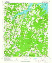 1962 Gold Hill1964 Print · USGSRowan County in the early sixties remains a landscape of quiet crossroads and riverside communities along the Yadkin River. Genealogists can trace family names and community roots through landmarks like St Peters Cem, Gold Hill Ch, and the settlement at Agner.3 unique versions available
 - 1962 Map of Rockwell, 1964 Print
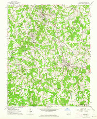 1962 Rockwell1964 Print · USGSRowan County and the Gold Hill region are shown in the early sixties during a period of active quarrying and rural growth. Genealogists can locate family landmarks like Old Stone House and historic sites such as Organ Ch or Shupings Mill.3 unique versions available
 - 1969 Map of Cooleemee, 1972 Print
 1969 Cooleemee1972 Print · USGSThe river-and-rail landscape of the North Carolina Piedmont is captured here in the late sixties. Genealogists can trace family landmarks like Woodleaf, Jerusalem, and numerous country churches including Liberty Ch and Concord Ch.2 unique versions available
 - 1969 Map of Cool Springs, 1972 Print
 1969 Cool Springs1972 Print · USGSThe rural borderlands of Rowan, Iredell, and Davie counties are captured here in the late sixties as the landscape remained defined by small crossroads and river bends. Genealogists can trace family footprints near Moores Chapel, New Jerusalem Ch, and the settlement of Cool Springs.2 unique versions available
 - 1969 Map of Shepherds, 1972 Print
 1969 Shepherds1972 Print · USGSIredell and Rowan counties are captured here in the late sixties, just as the new shoreline of Lake Norman began to alter the rural landscape. Genealogists can trace family footprints through the numerous country churches like Vanderburg Ch and St James Ch, or locate vanished school sites like Amity Sch.
 - 1969 Map of Mooresville, 1972 Print
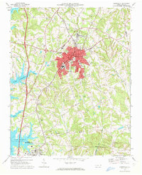 1969 Mooresville1972 Print · USGSIredell County undergoes significant change in the late sixties as the waters of Lake Norman reach into the western valleys. Genealogists and local historians can trace the foundations of Davidson College and find old landmarks like Centre Ch and Mt Mourne.3 unique versions available
 - 1969 Map of Rowan Mills, 1972 Print
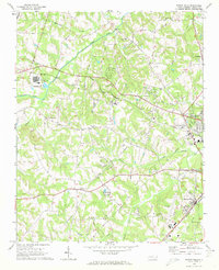 1969 Rowan Mills1972 Print · USGSWestern Rowan County in the late sixties shows a landscape of traditional crossroads and emerging industry along the Southern rail lines. Researchers can trace the rural layout of Barber, locate the Rowan County Airport, and find family landmarks like Mill Bridge and St Matthews Ch.2 unique versions available
 - 1970 Map of Enochville, 1972 Print
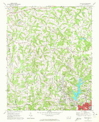 1970 Enochville1972 Print · USGSRowan and Cabarrus counties in the early seventies reveal a landscape of rural congregations and emerging utility networks. Researchers can trace family history through numerous landmarks like St Pauls Ch, McKnight Sch, and the community at Enochville.
 - 1970 Map of China Grove, 1972 Print
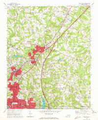 1970 China Grove1972 Print · USGSRowan and Cabarrus counties are captured here during a period of significant growth along the Southern railway corridor. Genealogists and local historians can trace the evolution of China Grove and Landis, or locate landmarks like Bostian Sch and Millers Chapel.2 unique versions available
 - 1970 Map of Cleveland, 1972 Print
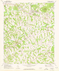 1970 Cleveland1972 Print · USGSRowan County in the early seventies centers on the rail-side community of Cleveland and the rural crossroads of Mount Ulla. Genealogists and historians can trace the foundations of the community through Thyatira Ch, Mill Bridge, and Knox Chapel.2 unique versions available
 - 1977 Map of High Rock, 1979 Print
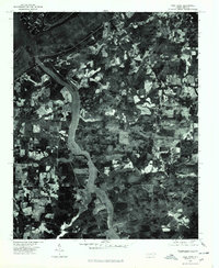 1977 High Rock1979 Print · USGSCentral North Carolina in the late seventies is captured here through aerial photography, showing the rural riverfront before modern suburban expansion. Researchers can trace land ownership patterns and rural crossroads near Healing Springs, Jackson Hill, and along the banks of the Yadkin River.
 - 1977 Map of Rockwell, 1979 Print
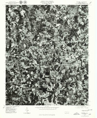 1977 Rockwell1979 Print · USGSRowan County in the late seventies is shown in remarkable aerial detail, from the granite-rich hills to the winding creek bottoms. Researchers can trace the layout of Rockwell, Granite Quarry, and the rural community near Shuping Mill.
 - 1977 Map of Gold Hill, 1979 Print
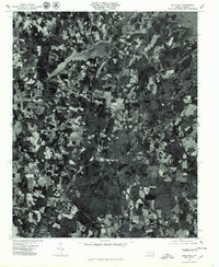 1977 Gold Hill1979 Print · USGSGold Hill and the rural stretches of Rowan County appear in detail in the late seventies. Researchers can trace the sprawling shoreline of High Rock Lake and locate specific rural homesteads near Liberty and the historic Gold Hill mining district.
 - 1977 Map of Churchland, 1979 Print
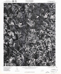 1977 Churchland1979 Print · USGSThe Yadkin River valley in the late seventies is captured here in sharp photographic detail, showing the rural landscape around the Horseshoe bend. Researchers can trace land use and homesteads near the old communities of Churchland, Petersville, and Tyro.
Showing maps 1-25 of 104
Top cities of Rowan County
- Salisbury historical maps
- China Grove historical maps
- Spencer historical maps
- Landis historical maps
- Granite Quarry historical maps
- Rockwell historical maps
See more
Frequently asked questions
- What are the different types of historical maps available for Rowan County?
- What is the oldest map of Rowan County?
- Where can I purchase historical maps of Rowan County for my home or office?
- Where can I download high-res historical maps of Rowan County?
- Are there historical topographic maps available for Rowan County?
- Is there historical aerial imagery available for Rowan County?
- Where are historical maps of Rowan County sourced from?