Old Maps of Landis, North Carolina for Metal Detecting
Plan your next treasure hunt with 20 historic maps of Landis. Find old homesites, ghost towns, trails, and gathering spots that may be lost to time — perfect for identifying promising metal detecting locations.
- Locate forgotten sites: Uncover places like long-lost settlements, abandoned rail lines, or gathering spots.
- Plan better hunts: Use map overlays combined with LiDAR or satellite views to narrow in on historically rich areas.
- Made for detectorists: Thousands of hobbyists use these maps to discover relics, coins, and hidden history.
Use these historic maps to boost your research and find new opportunities beneath the surface of Landis.
Landis, NC maps
(20)- 1893 Map of Statesville, 1934 Print
 1893 Statesville1934 Print · USGSThe North Carolina Piedmont in the late nineteenth century was a landscape of river-powered industry and rail-connected crossroads. Researchers can trace ancestral locations through dozens of named mills like Ketchies Mill and historic crossings like Cornelius Ferry or Beattie Ford.2 unique versions available
 - 1953 Map of Charlotte, 1968 Print
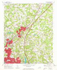
 1953 Charlotte1968 Print · USGSThe North Carolina Piedmont and South Carolina borderlands are shown in detail during a period of significant growth and reservoir development. Trace the rail corridors of the Southern Railway or find family roots in towns like China Grove, Misenheimer, and Lincolnton.3 unique versions available
 - 1954 Map of Charlotte
 1954 Charlotte1954 Print · USGSThe North Carolina Piedmont in the mid-1950s shows a region of rapid growth and industrial expansion centered around Charlotte. Trace the era's infrastructure through the Southern railroad lines and locate significant landmarks like the Charlotte Naval Ammunition Depot and Lake Norman.2 unique versions available
 - 1960 Map of Charlotte
 1960 Charlotte1960 Print · USGSMid-century North Carolina and South Carolina meet in this 1960 survey of the Piedmont's industrial and textile heartland. Trace the growth of Charlotte alongside historic landmarks like Kings Mountain National Military Park and the Charlotte Naval Ammunition Depot.2 unique versions available
 - 1962 Map of Charlotte
 1962 Charlotte1962 Print · USGSThe North Carolina Piedmont in the early sixties showcases a landscape transformed by massive reservoirs and industrial growth. Researchers can trace the development of Lake Norman, locate the Charlotte Naval Ammunition Depot, or find family landmarks like Wesley Chapel and Brown & Norcott Mills.
 - 1970 Map of Enochville, 1972 Print
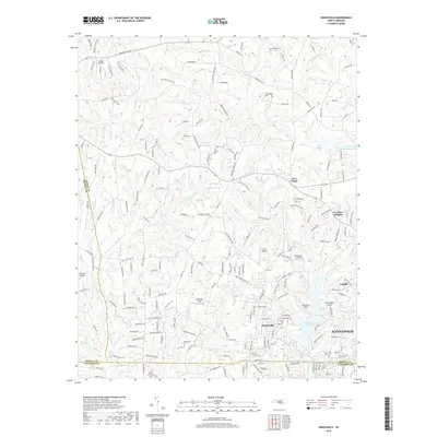
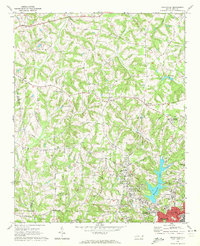 1970 Enochville1972 Print · USGSRowan and Cabarrus counties in the early seventies reveal a landscape of rural congregations and emerging utility networks. Researchers can trace family history through numerous landmarks like St Pauls Ch, McKnight Sch, and the community at Enochville.
 - 1970 Map of China Grove, 1972 Print
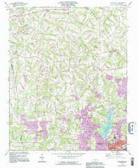
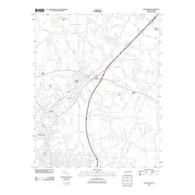
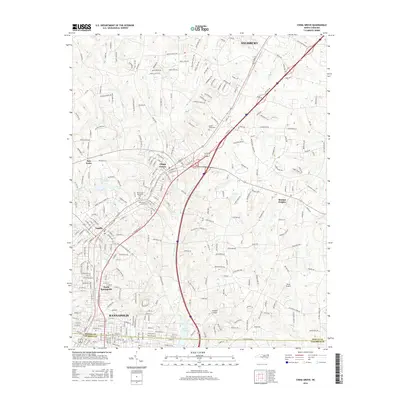
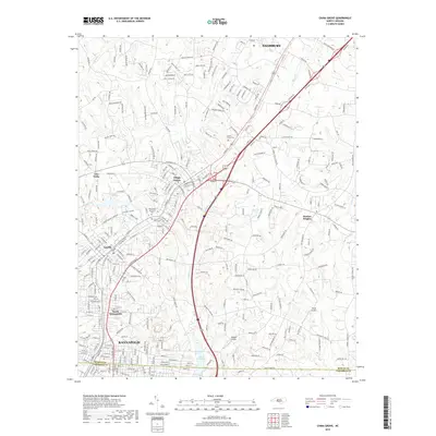
 1970 China Grove1972 Print · USGSRowan and Cabarrus counties are captured here during a period of significant growth along the Southern railway corridor. Genealogists and local historians can trace the evolution of China Grove and Landis, or locate landmarks like Bostian Sch and Millers Chapel.2 unique versions available
 - 1985 Map of Salisbury, 1986 Print
 1985 Salisbury1986 Print · USGSNorth Carolina’s industrial Piedmont region comes into focus during the mid-eighties as textile and rail towns expanded. Genealogists and historians can locate rural landmarks like Davidson College and Boones Cave State Park or trace the Southern Railway through Lexington and Salisbury.2 unique versions available
 - 1993 Map of Enochville, 1996 Print
 1993 Enochville1996 Print · USGSThe rural borders of Rowan and Cabarrus counties are captured here in the 1990s as longstanding communities began to expand. Genealogists can locate family landmarks such as McKnight Sch and Pleasant Grove Ch alongside Kannapolis Lake.
 - 2000 Map of Enochville, 2003 Print
 2000 Enochville2003 Print · USGSThe intersection of Rowan, Iredell, and Cabarrus counties is captured here at the turn of the millennium. Researchers can locate family landmarks such as St Enochs Ch and West Corinth Ch alongside local infrastructure like the Drag Strip and Lake Kannapolis.
 - 2010 Map of Enochville, 2010 Print
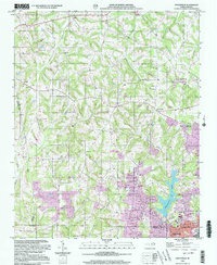
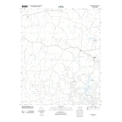 2010 Enochville2010 Print · USGSCovers Landis, including Kannapolis, Meadowcreek, and other nearby areas
 - 2010 Map of China Grove, 2010 Print
 2010 China Grove2010 Print · USGSCovers Landis, including Kannapolis, Salisbury, and other nearby areas
 - 2013 Map of Enochville, 2013 Print
 2013 Enochville2013 Print · USGSCovers Landis, including Kannapolis, Meadowcreek, and other nearby areas
 - 2013 Map of China Grove, 2013 Print
 2013 China Grove2013 Print · USGSCovers Landis, including Kannapolis, Salisbury, and other nearby areas
 - 2016 Map of Enochville, 2016 Print
 2016 Enochville2016 Print · USGSCovers Landis, including Kannapolis, Meadowcreek, and other nearby areas
 - 2016 Map of China Grove, 2016 Print
 2016 China Grove2016 Print · USGSCovers Landis, including Kannapolis, Salisbury, and other nearby areas
 - 2019 Map of Enochville, 2019 Print
 2019 Enochville2019 Print · USGSCovers Landis, including Kannapolis, Meadowcreek, and other nearby areas
 - 2019 Map of China Grove, 2019 Print
 2019 China Grove2019 Print · USGSCovers Landis, including Kannapolis, Salisbury, and other nearby areas
 - 2022 Map of Enochville, 2022 Print
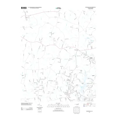
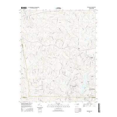
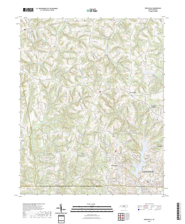 2022 Enochville2022 Print · USGSThe Enochville area of Rowan and Cabarrus Counties is captured here in the early twenty-first century, showing a unique concentration of local aviation and water resources. Researchers can trace the development of Kannapolis and Landis or locate family landmarks near Miller Air Park and Landis Water Reservoir Lake.
 - 2022 Map of China Grove, 2022 Print
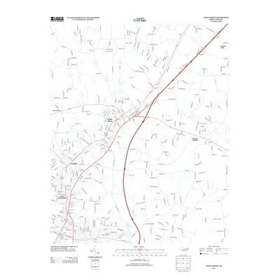
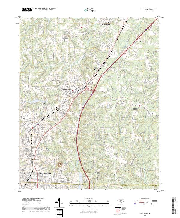 2022 China Grove2022 Print · USGSThe industrial corridor between Rowan and Cabarrus counties is mapped here in detail, showing the growth of China Grove and Landis. Local history researchers can trace the vicinity of Lake Corriher, Green Lawn Cem, and smaller airfields like Sloop Airport.
End of results
Showing maps 1-20 of 20
Top cities near Landis
- Charlotte historical maps
- Concord historical maps
- Huntersville historical maps
- Kannapolis historical maps
- Mooresville historical maps
- Salisbury historical maps
See more
Frequently asked questions
- What are the different types of historical maps available for Landis?
- What is the oldest map of Landis?
- Where can I purchase historical maps of Landis for my home or office?
- Where can I download high-res historical maps of Landis?
- Are there historical topographic maps available for Landis?
- Is there historical aerial imagery available for Landis?
- Where are historical maps of Landis sourced from?