2000s (21st Century) Maps of Washburn, North Carolina
Explore 6 historic maps of Washburn from the 2000s (21st Century). These maps offer a rare glimpse into what life looked like during the 2000s — showing old roads, neighborhoods, homes, and landmarks that have changed or disappeared over time.
Whether you're researching your family's past, planning a metal detecting trip, or studying how Washburn's landscape evolved across the 2000s, these high-resolution maps are a powerful tool for exploring the history of this region.
- Focus on a specific era: All maps on this page are from the 2000s, giving you a focused view of this time period.
- See what’s changed: Compare century-old streets, trails, and buildings to today's modern landscape using overlays and satellite layers.
- Research with precision: Use these maps for genealogy, historical research, land use analysis, or educational projects.
- View, download, or print: Maps are fully viewable online in high resolution, and can be downloaded or printed for your own records.
Start exploring Washburn's history through authentic maps from the 2000s. This is your window into the past.
Washburn, NC maps
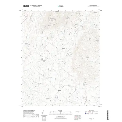
(6)- 2002 Map of Sunshine, 2003 Print
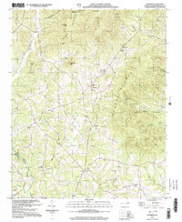 2002 Sunshine2003 Print · USGSRutherford County at the start of the new millennium remains a landscape of high ridges and quiet hollows. Genealogists can trace family footprints through numerous upland landmarks like Adkins Mine, Mt View Ch, and the small settlement of Sunshine.
 - 2010 Map of Sunshine, 2010 Print
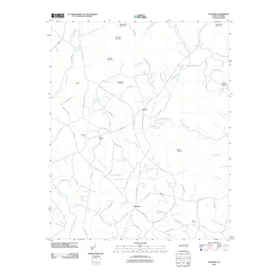 2010 Sunshine2010 Print · USGSCovers Washburn, including Sunshine, Rutherford County, and other nearby areas
 - 2013 Map of Sunshine, 2013 Print
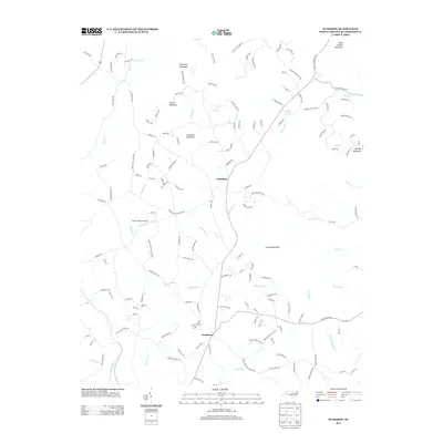 2013 Sunshine2013 Print · USGSCovers Washburn, including Sunshine, Rutherford County, and other nearby areas
 - 2016 Map of Sunshine, 2016 Print
 2016 Sunshine2016 Print · USGSCovers Washburn, including Sunshine, Rutherford County, and other nearby areas
 - 2019 Map of Sunshine, 2019 Print
 2019 Sunshine2019 Print · USGSCovers Washburn, including Sunshine, Rutherford County, and other nearby areas
 - 2022 Map of Sunshine, 2022 Print
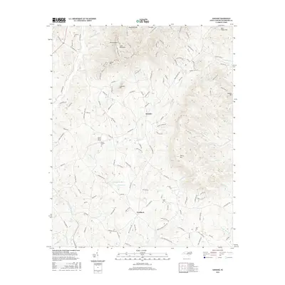
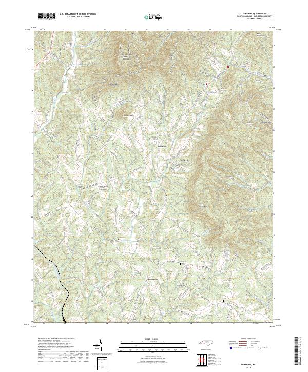 2022 Sunshine2022 Print · USGSThe foothills of Rutherford County come into focus in this contemporary survey, showing a landscape defined by prominent peaks and rural settlements. Researchers can locate family landmarks like Salem Cem and Walls Cem or trace the drainage of Cane Cr and the Second Broad River.
End of results
Showing maps 1-6 of 6
Top cities near Washburn
- Shelby historical maps
- Forest City historical maps
- Rutherfordton historical maps
- Spindale historical maps
- Boiling Springs historical maps
- Kingstown historical maps
See more
Frequently asked questions
- What are the different types of historical maps available for Washburn?
- What is the oldest map of Washburn?
- Where can I purchase historical maps of Washburn for my home or office?
- Where can I download high-res historical maps of Washburn?
- Are there historical topographic maps available for Washburn?
- Is there historical aerial imagery available for Washburn?
- Where are historical maps of Washburn sourced from?