Old Maps of Delway, North Carolina for Hiking & Exploration
Hike through history with 10 historic maps of Delway. Explore old trails, ghost towns, and forgotten backroads — perfect for outdoor adventurers and local explorers.
- Rediscover forgotten places: Map out old mining camps, roads, and footpaths that no longer exist on modern maps.
- Layer with modern tools: Combine with LiDAR or satellite views to plan hikes through historical terrain.
- Made for exploration: Popular among hikers, overlanders, and local history lovers.
Use these maps to find adventure and explore the hidden past of Delway.
Delway, NC maps
(10)- 1953 Map of Florence, 1964 Print
 1953 Florence1964 Print · USGSThe Carolina borderlands in the mid-fifties were a landscape of vast river swamps and rising rail towns. Trace the legacy of the Seaboard Air Line through Florence or explore the wetlands surrounding Lake Waccamaw and the Green Swamp.3 unique versions available
 - 1954 Map of Florence
 1954 Florence1954 Print · USGSThe Carolinas borderlands come alive in the early fifties, showing the vital rail-and-river networks of the coastal plain. Genealogists can trace family footprints across the Green Swamp or through settlements like Red Springs, Chadbourn, and McColl.
 - 1962 Map of Rose Hill, 1964 Print
 1962 Rose Hill1964 Print · USGSCoastal plain life in the early sixties centers on the rail-aligned towns of Rose Hill and Warsaw. Genealogists and local historians can locate dozens of country churches and schools, from Holly Grove Ch to the Williams Sch, alongside the Rose Hill Speedway.
 - 1982 Map of Elizabethtown, 1983 Print
 1982 Elizabethtown1983 Print · USGSSoutheastern North Carolina's coastal plain is captured here in the early eighties, showcasing a landscape defined by the Cape Fear River and mysterious Carolina Bays. Genealogists and researchers can trace the rail network of the Seaboard Coast Line through rural communities like Autryville, Ivanhoe, and the recreational hub of White Lake.
 - 1984 Map of Delway
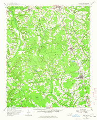
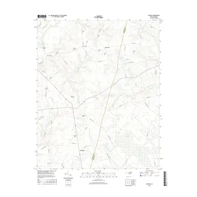
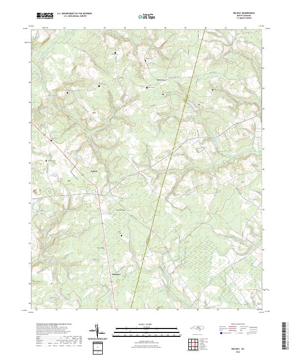
 1984 Delway1984 Print · USGSCoastal Plain landscapes along the Sampson and Duplin county line are shown in the early eighties, revealing a world of isolated crossroads and bay pocosins. Trace family roots at Evergreen Cem and Merritt Mem Cem, or locate landmarks like Taylors Bridge and the unique Pig In Bay.
 - 2010 Map of Delway, 2010 Print
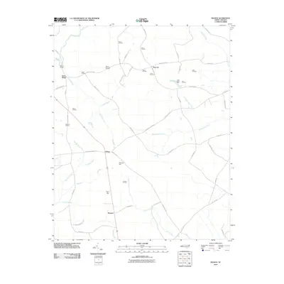 2010 Delway2010 Print · USGSCovers Delway, including Waycross, Shanghai, and other nearby areas
 - 2013 Map of Delway, 2013 Print
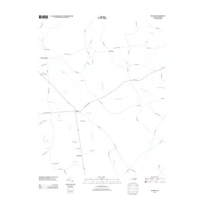 2013 Delway2013 Print · USGSCovers Delway, including Waycross, Shanghai, and other nearby areas
 - 2016 Map of Delway, 2016 Print
 2016 Delway2016 Print · USGSCovers Delway, including Waycross, Shanghai, and other nearby areas
 - 2019 Map of Delway, 2019 Print
 2019 Delway2019 Print · USGSCovers Delway, including Waycross, Shanghai, and other nearby areas
 - 2022 Map of Delway, 2022 Print
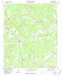
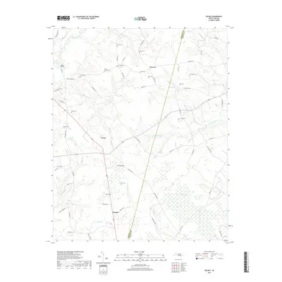
 2022 Delway2022 Print · USGSThe rural borderlands of Sampson and Duplin counties are captured here in the early twenty-first century, showcasing a landscape of isolated hamlets and Carolina bays. Genealogists can trace family landmarks like Merritt Memorial Cem, Benton Cem, and the community of Shanghai.
End of results
Showing maps 1-10 of 10
Top cities near Delway
- Clinton historical maps
- Warsaw historical maps
- Rose Hill historical maps
- Magnolia historical maps
- Kenansville historical maps
- Turkey historical maps
See more
Frequently asked questions
- What are the different types of historical maps available for Delway?
- What is the oldest map of Delway?
- Where can I purchase historical maps of Delway for my home or office?
- Where can I download high-res historical maps of Delway?
- Are there historical topographic maps available for Delway?
- Is there historical aerial imagery available for Delway?
- Where are historical maps of Delway sourced from?