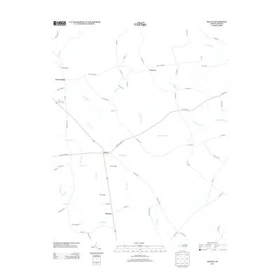
2013 Map of Delway
USGS Topo · Published 2013About this map
Delway and Shanghai anchor this landscape in Sampson County, where a dense network of blackwater creeks and Carolina bays shapes the local geography. The map depicts a rural agricultural and timber landscape defined by large wetland depressions known as Harvells Bay and Pig in Bay, characteristic of the coastal plain. Transport in the area follows long-established routes such as S NC Highway 903 and Trinity Church Rd, connecting the scattered settlements of Waycross and Taylors Bridge. Numerous family-named roads, including Peg Leg Rd and Alice Kattie Ln, suggest a deeply rooted community structure. Waterways like Quewhiffle Cr and Clear Run drain the low-lying terrain, while Hall Pond serves as a distinct inland water feature amidst the surrounding timberlands and fields.
Find a feature on this map
64 named features on this map. Tap any name to fly to it.
Don’t see what you’re looking for? This feature index may not catch every label — zoom into the map to look around manually.
Map Details
Editions of this 2013 Delway Map
This is the sole edition of this map. No revisions or reprints were ever made.
Other maps of this area

1953 · Florence
USGS Topo · 1:250,000

1954 · Florence
USGS Topo · 1:250,000

1954 · White Lake
USGS Topo · 1:62,500

1955 · Atkinson
USGS Topo · 1:62,500

1959 · Garland
USGS Topo · 1:62,500

1962 · Rose Hill
USGS Topo · 1:62,500

1982 · Elizabethtown
USGS Topo · 1:100,000
1984 · Harrells
USGS Topo · 1:24,000
1984 · Delway
USGS Topo · 1:24,000
1984 · Rose Hill
USGS Topo · 1:24,000