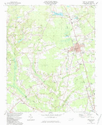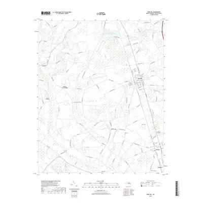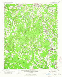
1962 Map of Rose Hill
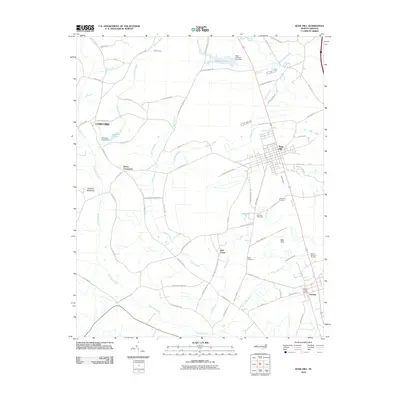
USGS Topo · Published 1964About this map
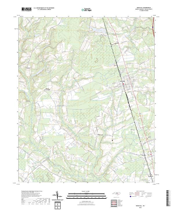
Warsaw and Magnolia anchor the northern landscape of this Duplin County survey, where the Atlantic Coast Line railroad dictates the orientation of local commerce. The terrain is defined by an intricate network of waterways such as Stewarts Creek, Millers Creek, and Rockfish Creek, which supported early mill sites like Carlton Mill Run. A notable concentration of social and spiritual hubs exists throughout the rural sections, including Johnsons Chapel, Wilson Chapel, and Rainbow Chapel.
Find a feature on this map
89 named features on this map. Tap any name to fly to it.
Don’t see what you’re looking for? This feature index may not catch every label — zoom into the map to look around manually.
Map Details
Editions of this 1962 Rose Hill Map
This is the sole edition of this map. No revisions or reprints were ever made.
Historical Maps of Warsaw Through Time
7 maps found