Old Maps of Sharpsburg, North Carolina for Genealogy
Trace your family roots with 19 historic maps of Sharpsburg. These high-res maps reveal old neighborhoods, homesites, landmarks, and streets — helping you uncover where your ancestors lived and how the area evolved over time.
- Explore historic neighborhoods: Identify where your relatives may have lived in the 1800s or 1900s.
- Compare maps over time: Trace the changes in streets, buildings, and landmarks for multi-generational research.
- Perfect for genealogy & ancestry research: Used by family historians and researchers to map out lineage and migration.
These maps are an incredible resource for exploring your personal connection to Sharpsburg's past.
Sharpsburg, NC maps
(19)- 1902 Map of Rocky Mount, 1965 Print
 1902 Rocky Mount1965 Print · USGSThe coastal plain of North Carolina comes alive in this early survey of the rail and river corridors between Nashville and Rocky Mount. Genealogists can trace early landmarks like Snells Crossroads, the Rocky Mount Mills, and Elm City.
 - 1904 Map of Rocky Mount, 1942 Print
 1904 Rocky Mount1942 Print · USGSThe Tar River and the rail hubs of eastern North Carolina come alive in this early twentieth-century survey. Genealogists and local historians can trace the growth of Rocky Mount and Nashville, or locate vanished industrial landmarks like the Upper Falls Rocky Mount Mills and Finch Mill.
 - 1953 Map of Rocky Mount, 1964 Print
 1953 Rocky Mount1964 Print · USGSEastern North Carolina in the mid-fifties is defined by its deep river basins and the vast wetlands of the Tidewater. Genealogists can trace family roots through hubs like Kinston and New Bern or explore the wilderness of Pettigrew State Park and Lake Mattamuskeet.4 unique versions available
 - 1954 Map of Rocky Mount
 1954 Rocky Mount1954 Print · USGSEastern North Carolina is mapped in the mid-fifties, showing a landscape of sounds, swamps, and steam-era rail lines. Genealogists can trace the rural road networks and rail spurs connecting towns like Tarboro, Greenville, and the remote Columbia.
 - 1975 Map of Rocky Mount, 1978 Print
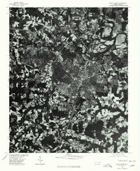 1975 Rocky Mount1978 Print · USGSRocky Mount and the surrounding Nash County countryside are captured in this mid-1970s aerial survey. Local historians and genealogists can trace the footprint of the city alongside nearby settlements like Sharpsburg and Battleboro as they appeared decades ago.
 - 1977 Map of Rocky Mount
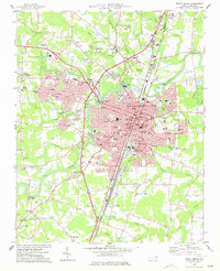 1977 Rocky Mount1977 Print · USGSRocky Mount is captured in the late seventies as it expanded across the Nash and Edgecombe county lines. Researchers can trace neighborhood growth through Woodlawn and Sunset or locate local landmarks like Buck Leonard Park and the Drive-in Theater.
 - 1977 Map of Elm City
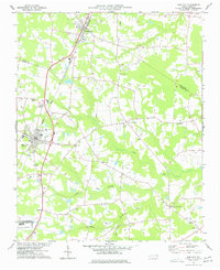 1977 Elm City1977 Print · USGSCoastal plain agriculture and rail transport meet in the late 1970s at the junction of Nash, Wilson, and Edgecombe counties. Researchers can trace historic family landmarks and rural nodes like Elm City, Bridgersville, and Pleasant Hope Ch.
 - 1985 Map of Rocky Mount
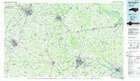 1985 Rocky Mount1985 Print · USGSThe eastern North Carolina coastal plain in the mid-eighties shows a landscape defined by its river-and-rail heritage. Genealogists and local historians can trace the development of Rocky Mount, Greenville, and Wilson, or locate landmarks like East Carolina University and the Voice of America site.2 unique versions available
 - 1998 Map of Rocky Mount, 2000 Print
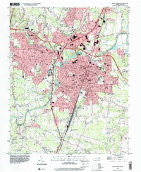 1998 Rocky Mount2000 Print · USGSRocky Mount and its surrounding Nash County suburbs are seen here in the late nineties as the city expanded westward toward the hospital. Genealogists can trace community roots through numerous local churches like Dortches Ch and the residential streets of South Rocky Mount.
 - 2010 Map of Rocky Mount, 2010 Print
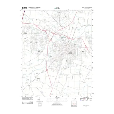 2010 Rocky Mount2010 Print · USGSRocky Mount and its surrounding communities are shown in great detail during the first decade of the millennium. Researchers can trace family sites near Pineview Cemetery or explore neighborhoods like Little Easonburg and Swelton Heights.
 - 2010 Map of Elm City, 2010 Print
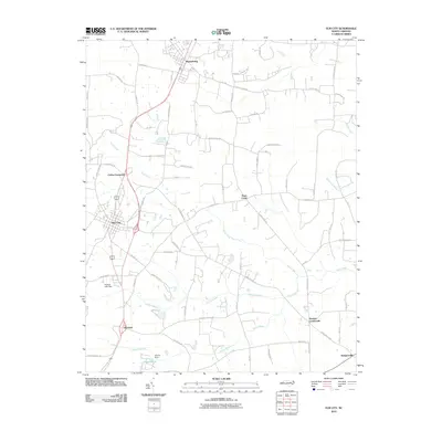 2010 Elm City2010 Print · USGSCoastal plain settlements and winding swamp systems define this Wilson County landscape in the early 2000s. Genealogists and historians can trace the rural layout of communities like Sharpsburg, Bridgersville, and Penders Crossroads.
 - 2013 Map of Rocky Mount, 2013 Print
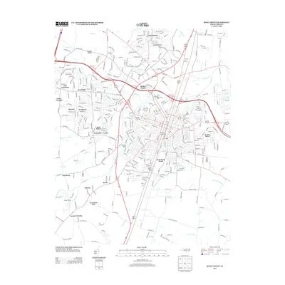 2013 Rocky Mount2013 Print · USGSRocky Mount is shown in detail during the early twenty-first century as it spans the bends of the Tar River. Researchers can trace the layout of residential neighborhoods like South Rocky Mount or locate historic industrial sites such as Rocky Mount Mills.
 - 2013 Map of Elm City, 2013 Print
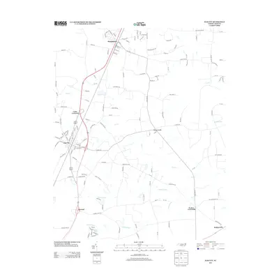 2013 Elm City2013 Print · USGSCoastal plain crossroads and railroad towns define this Wilson County landscape in the early twenty-first century. Genealogists and local historians can trace the communities of Elm City, Sharpsburg, and Rosebud alongside landmarks like Adams Pond and Cattail Swamp.
 - 2016 Map of Elm City, 2016 Print
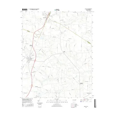 2016 Elm City2016 Print · USGSCoastal plain settlements and crossroads emerge in this recent look at the Wilson and Nash County border. Genealogists can locate family landmarks like Cedar Grove Cem and trace the rural reaches of Sharpsburg, Rosebud, and Bridgersville.
 - 2016 Map of Rocky Mount, 2016 Print
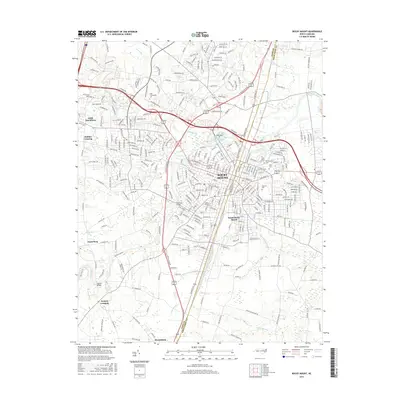 2016 Rocky Mount2016 Print · USGSRocky Mount and its surrounding communities are mapped here in detail during the mid-2010s, showcasing the intersection of the Tar River and major rail lines. Researchers can trace family history at Pineview Cem or locate old neighborhood boundaries in South Rocky Mount, Sharpsburg, and Little Easonburg.
 - 2019 Map of Rocky Mount, 2019 Print
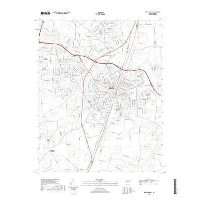 2019 Rocky Mount2019 Print · USGSRocky Mount and the surrounding Nash and Edgecombe counties appear in this recent survey during a period of sustained suburban and commercial growth. Genealogists and local historians can map out cemeteries like Pineview Cem or trace the geography of settlements from Little Easonburg to Sharpsburg.
 - 2019 Map of Elm City, 2019 Print
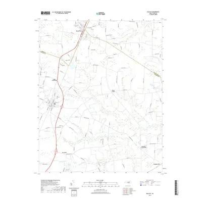 2019 Elm City2019 Print · USGSCoastal plain farmland and wetland networks define this part of Wilson County in the late 2010s. Researchers can trace rural lineages through local landmarks like Cedar Grove Cemetery and historic junctions such as Cobbs Crossroads and Penders Crossroads.
 - 2022 Map of Elm City, 2022 Print
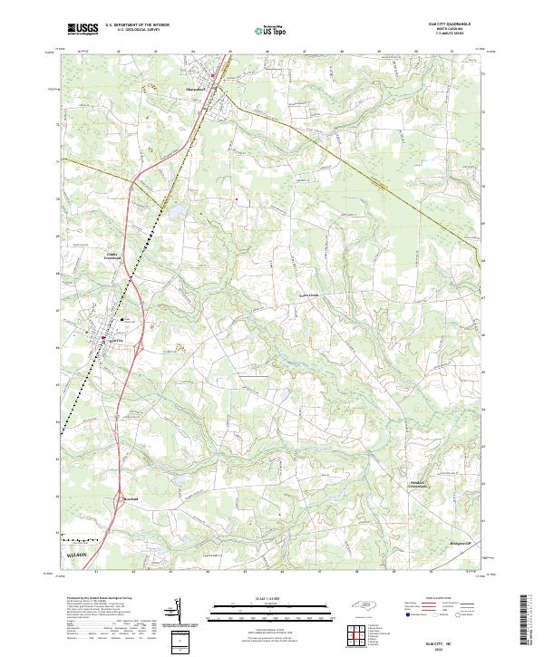 2022 Elm City2022 Print · USGSEastern North Carolina crossroads and railroad towns appear here as they were in the early twenty-first century. Genealogists and historians can trace the paths of CSX rail lines and locate rural landmarks like Cedar Grove Cem and Penders Crossroads.
 - 2022 Map of Rocky Mount, 2022 Print
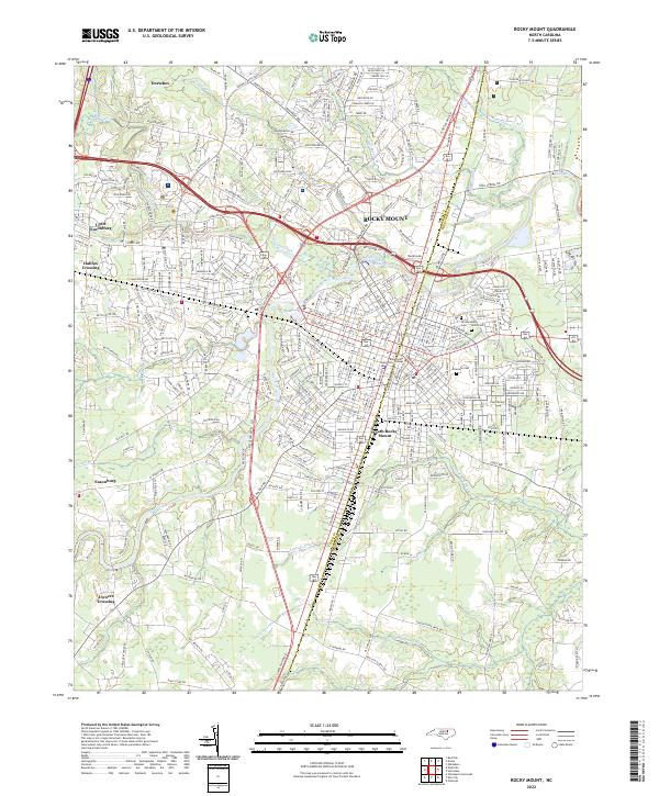 2022 Rocky Mount2022 Print · USGSRocky Mount and its surrounding Nash and Edgecombe county communities are shown in this recent survey during a period of significant regional connectivity. Researchers can trace the layout of contemporary neighborhoods and landmarks like Edgecombe Community College, Pineview Cemetery, and the historic banks of the Tar River.
End of results
Showing maps 1-19 of 19
Top cities near Sharpsburg
- Rocky Mount historical maps
- Wilson historical maps
- Nashville historical maps
- Red Oak historical maps
- Elm City historical maps
- Pinetops historical maps
See more
Frequently asked questions
- What are the different types of historical maps available for Sharpsburg?
- What is the oldest map of Sharpsburg?
- Where can I purchase historical maps of Sharpsburg for my home or office?
- Where can I download high-res historical maps of Sharpsburg?
- Are there historical topographic maps available for Sharpsburg?
- Is there historical aerial imagery available for Sharpsburg?
- Where are historical maps of Sharpsburg sourced from?