2000s (21st Century) Maps of Albemarle, North Carolina
Explore 16 historic maps of Albemarle from the 2000s (21st Century). These maps offer a rare glimpse into what life looked like during the 2000s — showing old roads, neighborhoods, homes, and landmarks that have changed or disappeared over time.
Whether you're researching your family's past, planning a metal detecting trip, or studying how Albemarle's landscape evolved across the 2000s, these high-resolution maps are a powerful tool for exploring the history of this region.
- Focus on a specific era: All maps on this page are from the 2000s, giving you a focused view of this time period.
- See what’s changed: Compare century-old streets, trails, and buildings to today's modern landscape using overlays and satellite layers.
- Research with precision: Use these maps for genealogy, historical research, land use analysis, or educational projects.
- View, download, or print: Maps are fully viewable online in high resolution, and can be downloaded or printed for your own records.
Start exploring Albemarle's history through authentic maps from the 2000s. This is your window into the past.
Albemarle, NC maps
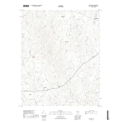
(16)- 2002 Map of Frog Pond, 2003 Print
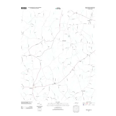
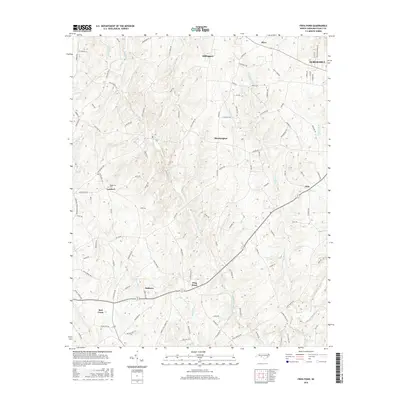
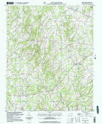 2002 Frog Pond2003 Print · USGSStanly County's rural character is preserved in this turn-of-the-millennium survey of the southern Piedmont. Genealogists and historians can trace community roots through numerous namesake settlements and country churches like Frog Pond, St Martin, and New Life Ch.
 - 2010 Map of Frog Pond, 2010 Print
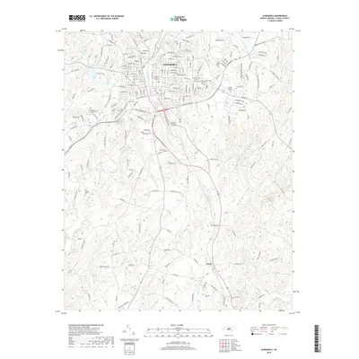
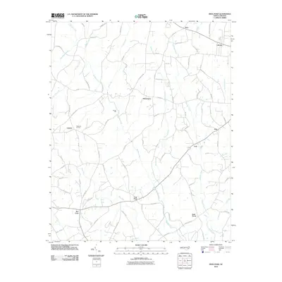 2010 Frog Pond2010 Print · USGSCovers Albemarle, including Oakboro, Red Cross, and other nearby areas
 - 2010 Map of Albemarle, 2010 Print
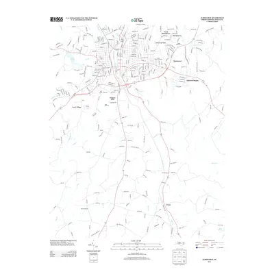
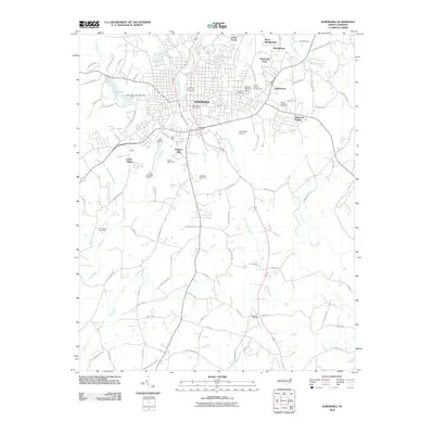 2010 Albemarle2010 Print · USGSCovers Albemarle, including Porter, Anderson Heights, and other nearby areas
 - 2011 Map of New London, 2011 Print
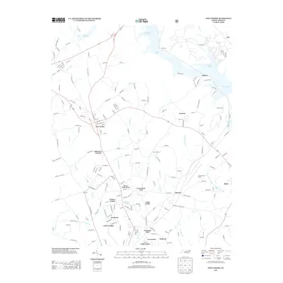
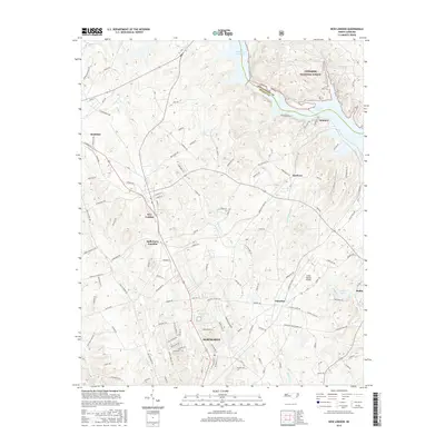
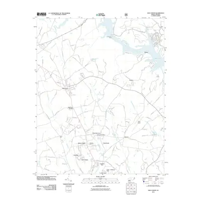 2011 New London2011 Print · USGSCovers Albemarle, including Badin, Richfield, and other nearby areas
 - 2013 Map of Frog Pond, 2013 Print
 2013 Frog Pond2013 Print · USGSCovers Albemarle, including Oakboro, Red Cross, and other nearby areas
 - 2013 Map of Albemarle, 2013 Print
 2013 Albemarle2013 Print · USGSCovers Albemarle, including Porter, Anderson Heights, and other nearby areas
 - 2013 Map of New London, 2013 Print
 2013 New London2013 Print · USGSCovers Albemarle, including Badin, Richfield, and other nearby areas
 - 2016 Map of New London, 2016 Print
 2016 New London2016 Print · USGSCovers Albemarle, including Badin, Richfield, and other nearby areas
 - 2016 Map of Frog Pond, 2016 Print
 2016 Frog Pond2016 Print · USGSCovers Albemarle, including Oakboro, Red Cross, and other nearby areas
 - 2016 Map of Albemarle, 2016 Print
 2016 Albemarle2016 Print · USGSCovers Albemarle, including Porter, Anderson Heights, and other nearby areas
 - 2019 Map of New London, 2019 Print
 2019 New London2019 Print · USGSCovers Albemarle, including Badin, Richfield, and other nearby areas
 - 2019 Map of Albemarle, 2019 Print
 2019 Albemarle2019 Print · USGSCovers Albemarle, including Porter, Anderson Heights, and other nearby areas
 - 2019 Map of Frog Pond, 2019 Print
 2019 Frog Pond2019 Print · USGSCovers Albemarle, including Oakboro, Red Cross, and other nearby areas
 - 2022 Map of Frog Pond, 2022 Print
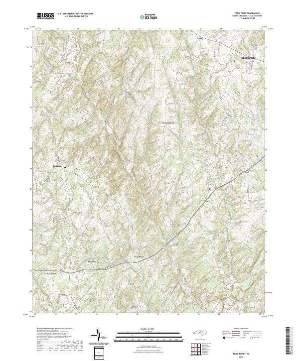 2022 Frog Pond2022 Print · USGSStanly County’s southern landscapes appear in detail here during the early 2020s, showing the rural communities between the Rocky River forks. Researchers can trace family-named locations from Frog Pond to Red Cross or locate Ridgecrest Cem and Nelson Mountain.
 - 2022 Map of Albemarle, 2022 Print
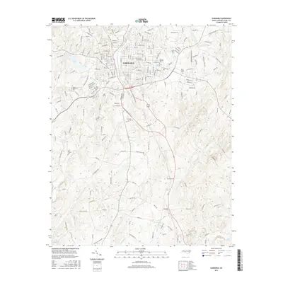
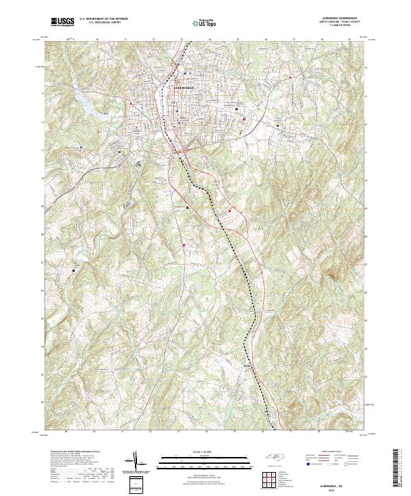 2022 Albemarle2022 Print · USGSAlbemarle and the surrounding Stanly County countryside are captured here in the early 2020s, centered on the historic county seat. Researchers can locate numerous local landmarks, from the Stanly County Courthouse to rural sites like Bethesda Cem and Poplins Grove Church.
 - 2022 Map of New London, 2022 Print
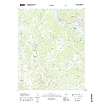
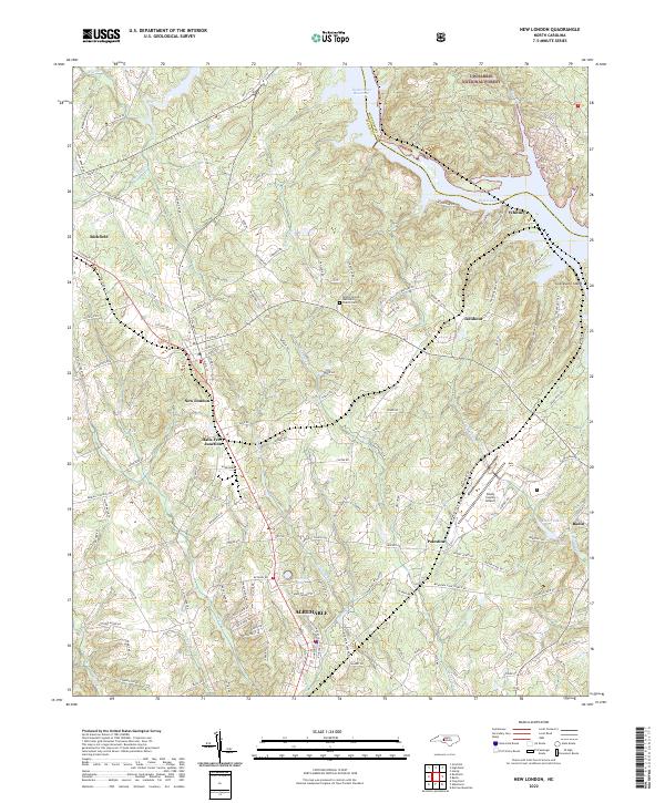 2022 New London2022 Print · USGSStanly County at the edge of the Uwharrie hills shows a landscape shaped by water and rail in this recent survey. Researchers can trace the Winston-Salem Southbound tracks through New London and Richfield or locate local landmarks like the Bethel (United Methodist Church) Cem.
End of results
Showing maps 1-16 of 16
Top cities near Albemarle
- Norwood historical maps
- Rockwell historical maps
- Stanfield historical maps
- Mount Pleasant historical maps
- Mount Gilead historical maps
- Badin historical maps
See more
Top neighborhoods of Albemarle
- Heathwood historical maps
- North Springhaven historical maps
- Ashley Heights historical maps
- Bethney Heights historical maps
- Cedar Knolls historical maps
- Greenwood Park historical maps
See more
Frequently asked questions
- What are the different types of historical maps available for Albemarle?
- What is the oldest map of Albemarle?
- Where can I purchase historical maps of Albemarle for my home or office?
- Where can I download high-res historical maps of Albemarle?
- Are there historical topographic maps available for Albemarle?
- Is there historical aerial imagery available for Albemarle?
- Where are historical maps of Albemarle sourced from?