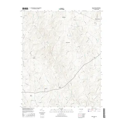
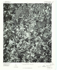
2016 Map of Frog Pond
USGS Topo · Published 2016About this map
Millingport and the surrounding rural communities of Stanly County define this landscape as it appeared in the mid-2010s. The topography is deeply carved by the waters of Big Bear Cr and Little Bear Cr, which flow through a region marked by small crossroads settlements and family-named roads. The map captures the distinct geographic arrangement of places like Bloomington, Lambert, and Frog Pond, highlighting the enduring rural character of the area even as larger towns like Albemarle and Oakboro anchor the peripheries.
Find a feature on this map
107 named features on this map. Tap any name to fly to it.
Don’t see what you’re looking for? This feature index may not catch every label — zoom into the map to look around manually.
Map Details
Editions of this 2016 Frog Pond Map
This is the sole edition of this map. No revisions or reprints were ever made.
Other maps of this area

1953 · Charlotte
USGS Topo · 1:250,000

1954 · Charlotte
USGS Topo · 1:250,000

1957 · Mount Pleasant
USGS Topo · 1:62,500

1957 · Albemarle
USGS Topo · 1:62,500

1960 · Charlotte
USGS Topo · 1:250,000

1962 · Charlotte
USGS Topo · 1:250,000
1971 · Stanfield
USGS Topo · 1:24,000
1971 · Oakboro
USGS Topo · 1:24,000
1971 · Aquadale
USGS Topo · 1:24,000
1977 · Albemarle SW
USGS Topo · 1:24,000