Old Maps of Stanly County, North Carolina for Hiking & Exploration
Hike through history with 123 historic maps of Stanly County. Explore old trails, ghost towns, and forgotten backroads — perfect for outdoor adventurers and local explorers.
- Rediscover forgotten places: Map out old mining camps, roads, and footpaths that no longer exist on modern maps.
- Layer with modern tools: Combine with LiDAR or satellite views to plan hikes through historical terrain.
- Made for exploration: Popular among hikers, overlanders, and local history lovers.
Use these maps to find adventure and explore the hidden past of Stanly County.
Stanly County, NC maps
(123)- 1941 Map of Charlotte
 1941 Charlotte1941 Print · USGSMecklenburg and its surrounding counties are captured here at a pivotal moment in the early 1940s. Genealogists and local historians can trace the rail-driven growth of Charlotte or locate smaller rural landmarks like Alexanders Store, Wesley Chapel, and the community at Stallings.
 - 1942 Map of Charlotte
 1942 Charlotte1942 Print · USGSCharlotte and its surrounding Piedmont communities are captured here during the early years of the Second World War. Researchers can trace the rail corridors of the Southern and Seaboard Air Line or locate family-named sites like Alexanders Store, Hoods Cross Road, and Wesley Chapel.2 unique versions available
 - 1949 Map of High Rock
 1949 High Rock1949 Print · USGSDavidson County in the late 1940s is defined by the winding Yadkin River and its rural church communities. Researchers can trace ancestral connections through family-named crossings like Bringle Ferry or find local landmarks such as Lick Creek Ch and Bald Mtn.2 unique versions available
 - 1949 Map of Midland
 1949 Midland1949 Print · USGSMidland and the surrounding Piedmont farm country are captured here in the late 1940s, just as rural electrification and improved roads were transforming the area. Local historians can trace old community hubs like the Midland Speedway, Emmanuel Cem, and the Rock Hill Sch.
 - 1953 Map of Charlotte, 1968 Print
 1953 Charlotte1968 Print · USGSThe North Carolina Piedmont and South Carolina borderlands are shown in detail during a period of significant growth and reservoir development. Trace the rail corridors of the Southern Railway or find family roots in towns like China Grove, Misenheimer, and Lincolnton.3 unique versions available
 - 1954 Map of Charlotte
 1954 Charlotte1954 Print · USGSThe North Carolina Piedmont in the mid-1950s shows a region of rapid growth and industrial expansion centered around Charlotte. Trace the era's infrastructure through the Southern railroad lines and locate significant landmarks like the Charlotte Naval Ammunition Depot and Lake Norman.2 unique versions available
 - 1956 Map of Mount Gilead West, 1957 Print
 1956 Mount Gilead West1957 Print · USGSThe area surrounding the Pee Dee and Rocky rivers shows a landscape of rail-connected towns and riverside power in the mid-1950s. Genealogists can trace family roots through numerous local parishes like Providence Ch and the rural community of Cedar Hill.3 unique versions available
 - 1957 Map of Mount Pleasant, 1958 Print
 1957 Mount Pleasant1958 Print · USGSCabarrus and Stanly counties in the late 1950s show a region of historic mining and academic growth. Researchers can trace the legendary Reed Gold Mine (Inactive), the campus of Pfeiffer College, and numerous family crossroads like Watts Crossroads.2 unique versions available
 - 1957 Map of Albemarle, 1958 Print
 1957 Albemarle1958 Print · USGSThe Stanly County landscape in the mid-fifties is defined by the growing city of Albemarle and the newly formed reservoirs along the Yadkin River. Genealogists and historians can trace family locations near Bethel Ch, Goggins Mine, and the old Austins Mill.2 unique versions available
 - 1957 Map of Denton, 1958 Print
 1957 Denton1958 Print · USGSIn the foothills of Davidson County during the late fifties, rural life centered on the banks of the Yadkin and the local rail lines. Researchers can trace family sites like Jackson Hill, rural congregations at New Jerusalem Ch, and the workings of the Silver Mine.
 - 1960 Map of Charlotte
 1960 Charlotte1960 Print · USGSMid-century North Carolina and South Carolina meet in this 1960 survey of the Piedmont's industrial and textile heartland. Trace the growth of Charlotte alongside historic landmarks like Kings Mountain National Military Park and the Charlotte Naval Ammunition Depot.2 unique versions available
 - 1962 Map of Charlotte
 1962 Charlotte1962 Print · USGSThe North Carolina Piedmont in the early sixties showcases a landscape transformed by massive reservoirs and industrial growth. Researchers can trace the development of Lake Norman, locate the Charlotte Naval Ammunition Depot, or find family landmarks like Wesley Chapel and Brown & Norcott Mills.
 - 1962 Map of Gold Hill, 1964 Print
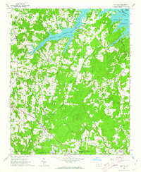 1962 Gold Hill1964 Print · USGSRowan County in the early sixties remains a landscape of quiet crossroads and riverside communities along the Yadkin River. Genealogists can trace family names and community roots through landmarks like St Peters Cem, Gold Hill Ch, and the settlement at Agner.3 unique versions available
 - 1971 Map of Midland, 1973 Print
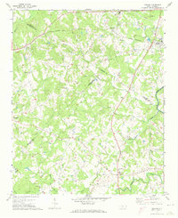 1971 Midland1973 Print · USGSMidland and the surrounding Piedmont countryside are captured in the early seventies as the region maintained its rural character. Genealogists can trace family landmarks at Mill Grove Ch Cem, Clear Creek Ch, and the crossroads at Brief.3 unique versions available
 - 1971 Map of Stanfield, 1973 Print
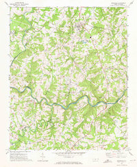 1971 Stanfield1973 Print · USGSThe rural Piedmont region of North Carolina comes into focus here in the early seventies, centered on the Rocky River borderlands. Genealogists and local historians can locate numerous country congregations including Philadelphia Ch, Antioch Ch, and Loves Chapel Ch.2 unique versions available
 - 1971 Map of Oakboro, 1973 Print
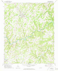 1971 Oakboro1973 Print · USGSStanly and Union counties meet along the Rocky River in the early 1970s, where the Norfolk Southern rail line connects rural crossroads. Genealogists can trace family roots at Oakboro Cem, Big Lick, and Mt Moriah Ch.
 - 1971 Map of Aquadale, 1973 Print
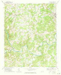 1971 Aquadale1973 Print · USGSThe rural borderlands of Stanly and Anson Counties are revealed in this early 1970s survey of the Carolina Piedmont. Researchers can trace local genealogy through numerous landmarks including South Stanly High School, Bethlehem Ch, and the rail junction at Norwood.2 unique versions available
 - 1977 Map of High Rock, 1979 Print
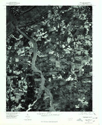 1977 High Rock1979 Print · USGSCentral North Carolina in the late seventies is captured here through aerial photography, showing the rural riverfront before modern suburban expansion. Researchers can trace land ownership patterns and rural crossroads near Healing Springs, Jackson Hill, and along the banks of the Yadkin River.
 - 1977 Map of Albemarle SE, 1979 Print
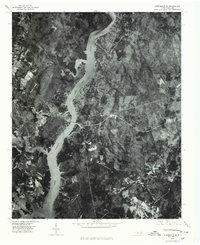 1977 Albemarle SE1979 Print · USGSThe Montgomery County riverfront was evolving in the late seventies as residential life centered on the water. Researchers can trace the exact 1977 shoreline of Lake Tillery and find local settlements like River Haven and Pee Dee.
 - 1977 Map of Albemarle SW, 1979 Print
 1977 Albemarle SW1979 Print · USGSThe outskirts of Albemarle in the late seventies show a landscape of growing urban borders and rural homesteads. Local researchers can trace the development of Albemarle, the small settlement at Porter, and the path of Long Creek.
 - 1977 Map of Albemarle NE, 1979 Print
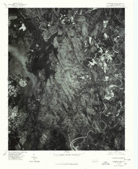 1977 Albemarle NE1979 Print · USGSIn the late 1970s, the Montgomery County landscape was defined by the dense forests of the Uwharrie Mountains and the waters of Badin Lake. Researchers can trace the layout of rural settlements like Eldorado and Blaine through direct aerial imagery.
 - 1977 Map of Gold Hill, 1979 Print
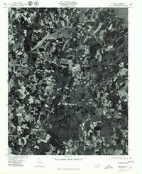 1977 Gold Hill1979 Print · USGSGold Hill and the rural stretches of Rowan County appear in detail in the late seventies. Researchers can trace the sprawling shoreline of High Rock Lake and locate specific rural homesteads near Liberty and the historic Gold Hill mining district.
 - 1977 Map of Albemarle NW, 1979 Print
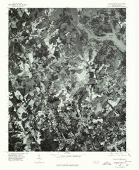 1977 Albemarle NW1979 Print · USGSStanly County in the late seventies is shown in remarkable aerial detail, reflecting the transition between rural agriculture and town growth. Trace old property lines and community landmarks like Austins Mill, New London, and the shores of Badin Lake.
 - 1980 Map of High Rock
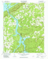 1980 High Rock1980 Print · USGSThe Yadkin River corridor in the early eighties serves as a hub for small rural communities and sprawling reservoirs. Researchers can locate family landmarks like Newsom Cem, the Antioch Ch, and the riverside settlement of Poletown.2 unique versions available
 - 1980 Map of Mount Pleasant
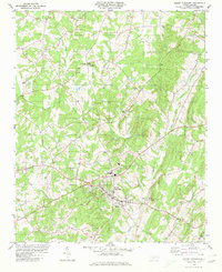 1980 Mount Pleasant1980 Print · USGSThe Piedmont landscape of Cabarrus County is captured here in the late seventies as the town of Mount Pleasant grew. Local historians can trace old community landmarks like Watts Crossroads, Victory Temple, and the Quarries along Buffalo Creek.
Showing maps 1-25 of 123
Top cities of Stanly County
- Albemarle historical maps
- Norwood historical maps
- Stanfield historical maps
- Badin historical maps
- Oakboro historical maps
- Red Cross historical maps
See more
Frequently asked questions
- What are the different types of historical maps available for Stanly County?
- What is the oldest map of Stanly County?
- Where can I purchase historical maps of Stanly County for my home or office?
- Where can I download high-res historical maps of Stanly County?
- Are there historical topographic maps available for Stanly County?
- Is there historical aerial imagery available for Stanly County?
- Where are historical maps of Stanly County sourced from?