Old Maps of Hariston, North Carolina for Metal Detecting
Plan your next treasure hunt with 12 historic maps of Hariston. Find old homesites, ghost towns, trails, and gathering spots that may be lost to time — perfect for identifying promising metal detecting locations.
- Locate forgotten sites: Uncover places like long-lost settlements, abandoned rail lines, or gathering spots.
- Plan better hunts: Use map overlays combined with LiDAR or satellite views to narrow in on historically rich areas.
- Made for detectorists: Thousands of hobbyists use these maps to discover relics, coins, and hidden history.
Use these historic maps to boost your research and find new opportunities beneath the surface of Hariston.
Hariston, NC maps
(12)- 1953 Map of Winston-Salem, 1974 Print
 1953 Winston-Salem1974 Print · USGSThe North Carolina Piedmont and Virginia highlands meet in the mid-1950s, a landscape defined by the tobacco and textile hubs of the Blue Ridge foothills. Researchers can trace the rail-and-river geography connecting Winston-Salem to mountain towns like Mount Airy and Galax.2 unique versions available
 - 1955 Map of Winston-Salem
 1955 Winston-Salem1955 Print · USGSThe Central Blue Ridge and Piedmont transition are captured here in the mid-fifties, from the industrial hub of Winston-Salem to the high peaks of Southwest Virginia. Genealogists can trace family landmarks like Richmond Hill Ch, Siloam Ch, and the old rail stops along the Southern Railway.
 - 1962 Map of Winston-Salem
 1962 Winston-Salem1962 Print · USGSThe North Carolina Piedmont meets the Virginia highlands in the early sixties, showing the rail corridors and mountain gaps of the southern Appalachians. Researchers can trace the Blue Ridge Parkway or locate family sites near Winston-Salem, Mount Airy, and Hanging Rock Mountain.
 - 1971 Map of Belews Lake, 1973 Print
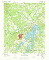 1971 Belews Lake1973 Print · USGSThe rural borderlands of Stokes and Rockingham counties are captured here in the early 1970s as the landscape transformed around Belews Lake. Researchers can trace old family sites near Pine Hall, Camp Vaughn, and country landmarks like Sycamore Ch.3 unique versions available
 - 1977 Map of Belews Lake, 1979 Print
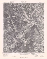 1977 Belews Lake1979 Print · USGSThe Dan River and its surrounding Piedmont landscapes are captured in detail in the late seventies. Researchers can trace the sprawling shoreline of Belews Lake or locate the historic settlement of Pine Hall along the Dan River.
 - 1984 Map of Winston-Salem, 1985 Print
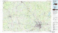 1984 Winston-Salem1985 Print · USGSThe North Carolina Piedmont in the mid-1980s shows the growth of Winston-Salem and the busy rail corridors of the Southern Railway. Genealogists and local historians can trace family-named lands and rural communities from Yadkinville to Mount Airy.2 unique versions available
 - 2000 Map of Belews Lake, 2003 Print
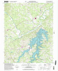 2000 Belews Lake2003 Print · USGSThe Piedmont landscape at the turn of the millennium shows a fascinating mix of rural tradition and industrial utility where four counties meet. Genealogists and local historians can locate numerous landmarks like Withers Chapel, Camp Vaughn, and the riverside settlement of Pine Hall.
 - 2010 Map of Belews Lake, 2010 Print
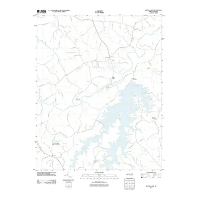 2010 Belews Lake2010 Print · USGSThe Dan River valley and the expansive waters of Belews Lake define this part of North Carolina in the early twenty-first century. Researchers can trace family sites at Eden Cemetery and Mount Zion Cemetery or locate old communities like Pine Hall and Ceramic.
 - 2013 Map of Belews Lake, 2013 Print
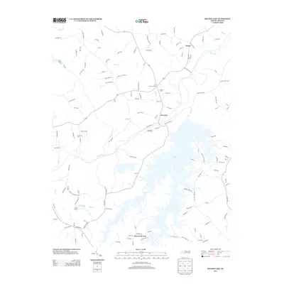 2013 Belews Lake2013 Print · USGSBelews Lake and the Dan River valley are shown in detail during the early twenty-first century as the region balanced its rural roots with modern recreation. Genealogists and local historians can trace family-named landmarks and old routes like Old Wagon Trail, the Anderson House, and the community at Pine Hall.
 - 2016 Map of Belews Lake, 2016 Print
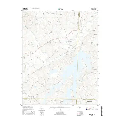 2016 Belews Lake2016 Print · USGSThe Piedmont region of North Carolina is defined by the convergence of four counties around the waters of Belews Lake. Researchers can trace local lineage through Mount Zion Cem and Eden Cem, or follow the historic path of the Old Wagon Trl.
 - 2019 Map of Belews Lake, 2019 Print
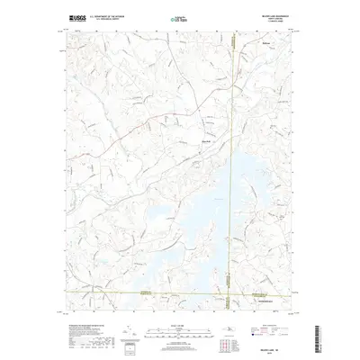 2019 Belews Lake2019 Print · USGSThe northern Piedmont landscape comes to life in the late 2010s as the massive shoreline of Belews Lake meets the winding Dan River. Genealogists and local historians can trace the Norfolk Southern line through Pine Hall or locate family plots at Mount Zion Cem and Eden Cem.
 - 2022 Map of Belews Lake, 2022 Print
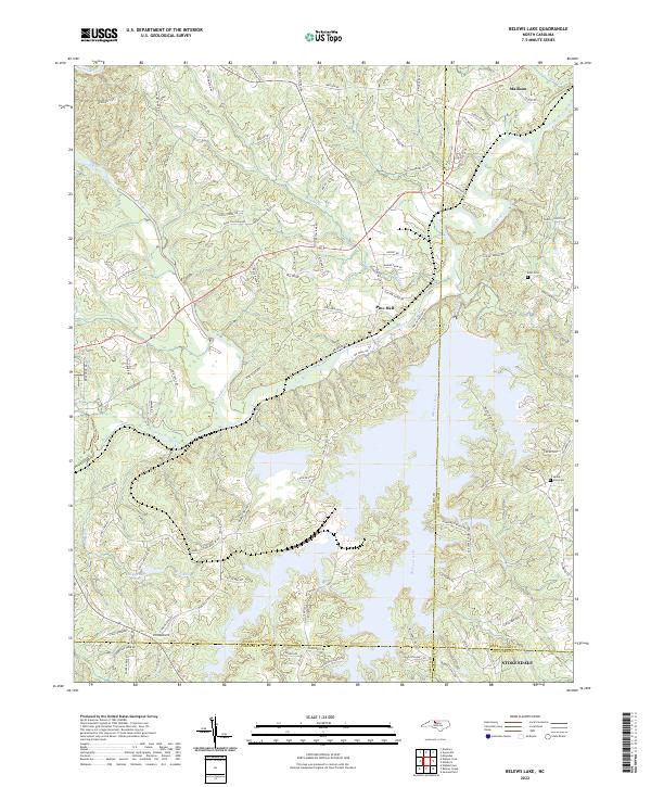 2022 Belews Lake2022 Print · USGSThe sprawling reservoir of Belews Lake and the winding Dan River define this Piedmont landscape in the early 2020s. Genealogists and local historians can trace family-named routes and sites like Eden Cemetery, Mount Zion Cemetery, and Pine Hall.
End of results
Showing maps 1-12 of 12
Top cities near Hariston
- Greensboro historical maps
- Winston-Salem historical maps
- High Point historical maps
- Kernersville historical maps
- Summerfield historical maps
- Walkertown historical maps
See more
Frequently asked questions
- What are the different types of historical maps available for Hariston?
- What is the oldest map of Hariston?
- Where can I purchase historical maps of Hariston for my home or office?
- Where can I download high-res historical maps of Hariston?
- Are there historical topographic maps available for Hariston?
- Is there historical aerial imagery available for Hariston?
- Where are historical maps of Hariston sourced from?