Old Maps of Snow Hill, North Carolina for Hiking & Exploration
Hike through history with 11 historic maps of Snow Hill. Explore old trails, ghost towns, and forgotten backroads — perfect for outdoor adventurers and local explorers.
- Rediscover forgotten places: Map out old mining camps, roads, and footpaths that no longer exist on modern maps.
- Layer with modern tools: Combine with LiDAR or satellite views to plan hikes through historical terrain.
- Made for exploration: Popular among hikers, overlanders, and local history lovers.
Use these maps to find adventure and explore the hidden past of Snow Hill.
Snow Hill, NC maps
(11)- 1953 Map of Winston-Salem, 1974 Print
 1953 Winston-Salem1974 Print · USGSThe North Carolina Piedmont and Virginia highlands meet in the mid-1950s, a landscape defined by the tobacco and textile hubs of the Blue Ridge foothills. Researchers can trace the rail-and-river geography connecting Winston-Salem to mountain towns like Mount Airy and Galax.2 unique versions available
 - 1955 Map of Winston-Salem
 1955 Winston-Salem1955 Print · USGSThe Central Blue Ridge and Piedmont transition are captured here in the mid-fifties, from the industrial hub of Winston-Salem to the high peaks of Southwest Virginia. Genealogists can trace family landmarks like Richmond Hill Ch, Siloam Ch, and the old rail stops along the Southern Railway.
 - 1962 Map of Winston-Salem
 1962 Winston-Salem1962 Print · USGSThe North Carolina Piedmont meets the Virginia highlands in the early sixties, showing the rail corridors and mountain gaps of the southern Appalachians. Researchers can trace the Blue Ridge Parkway or locate family sites near Winston-Salem, Mount Airy, and Hanging Rock Mountain.
 - 1971 Map of Danbury, 1973 Print
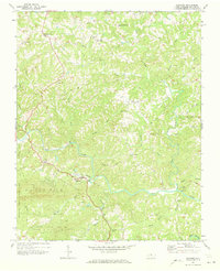 1971 Danbury1973 Print · USGSStokes County settlements and the winding Dan River define this area during the early seventies. Genealogists can trace family landmarks and numerous rural congregations like North View Ch, Lawsonville Ch, and Davis Chapel.2 unique versions available
 - 1984 Map of Winston-Salem, 1985 Print
 1984 Winston-Salem1985 Print · USGSThe North Carolina Piedmont in the mid-1980s shows the growth of Winston-Salem and the busy rail corridors of the Southern Railway. Genealogists and local historians can trace family-named lands and rural communities from Yadkinville to Mount Airy.2 unique versions available
 - 1996 Map of Danbury, 2001 Print
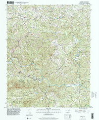 1996 Danbury2001 Print · USGSThe Dan River valley and the eastern edge of the Sauratown Mountains come into focus in the mid-1990s. Genealogists can trace family footprints around Danbury, Lawsonville, and local landmarks like Spencer Hill Memorial Ch and Davis Chapel.
 - 2010 Map of Danbury, 2010 Print
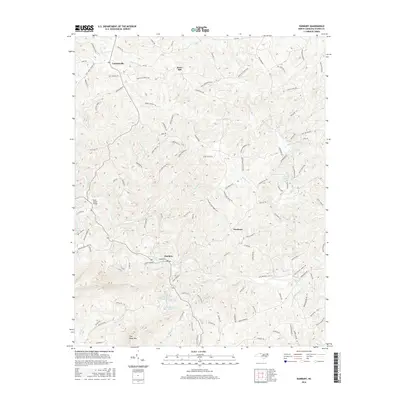
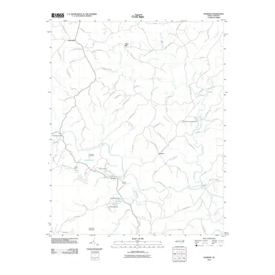 2010 Danbury2010 Print · USGSCovers Snow Hill, including Danbury, Lawsonville, and other nearby areas
 - 2013 Map of Danbury, 2013 Print
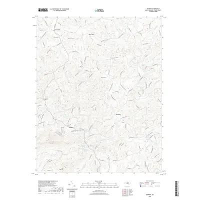
 2013 Danbury2013 Print · USGSCovers Snow Hill, including Danbury, Lawsonville, and other nearby areas
 - 2016 Map of Danbury, 2016 Print
 2016 Danbury2016 Print · USGSCovers Snow Hill, including Danbury, Lawsonville, and other nearby areas
 - 2019 Map of Danbury, 2019 Print
 2019 Danbury2019 Print · USGSCovers Snow Hill, including Danbury, Lawsonville, and other nearby areas
 - 2022 Map of Danbury, 2022 Print
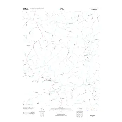
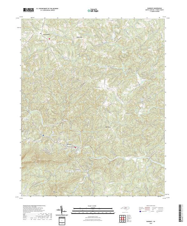 2022 Danbury2022 Print · USGSThe northern Piedmont landscape surrounding Danbury is captured here in the early 2020s, centered on the Dan River valley. Researchers can trace local lineage through family-named landmarks and settlements like Lawsonville, Snow Hill, and Peter Mabe Rd.
End of results
Showing maps 1-11 of 11
Top cities near Snow Hill
- Mayodan historical maps
- Madison historical maps
- Walnut Cove historical maps
- Stuart historical maps
- Danbury historical maps
Frequently asked questions
- What are the different types of historical maps available for Snow Hill?
- What is the oldest map of Snow Hill?
- Where can I purchase historical maps of Snow Hill for my home or office?
- Where can I download high-res historical maps of Snow Hill?
- Are there historical topographic maps available for Snow Hill?
- Is there historical aerial imagery available for Snow Hill?
- Where are historical maps of Snow Hill sourced from?