Old Maps of Washington County, North Carolina for Hiking & Exploration
Hike through history with 101 historic maps of Washington County. Explore old trails, ghost towns, and forgotten backroads — perfect for outdoor adventurers and local explorers.
- Rediscover forgotten places: Map out old mining camps, roads, and footpaths that no longer exist on modern maps.
- Layer with modern tools: Combine with LiDAR or satellite views to plan hikes through historical terrain.
- Made for exploration: Popular among hikers, overlanders, and local history lovers.
Use these maps to find adventure and explore the hidden past of Washington County.
Washington County, NC maps
(101)- 1906 Map of Hertford
 1906 Hertford1906 Print · USGSThe coastal plains of North Carolina near the Albemarle Sound are captured here during a period of river-reliant commerce and early rail growth. Researchers can trace the waterfront legacy of Hertford, the routes of the Norfolk and Southern RR, and rural post offices like Durants Neck PO.3 unique versions available
 - 1914 Map of Belhaven
 1914 Belhaven1914 Print · USGSIn the decade before the Great War, the North Carolina coast was a landscape of timber trams and swamp landings. Researchers can trace the John L. Roper Lumber Co. Tram and locate family landmarks like Morrisons Store and Lower Pungo School.
 - 1916 Map of Belhaven
 1916 Belhaven1916 Print · USGSCoastal Beaufort County comes to life in the years before World War I, when the Pungo River landings were essential hubs. Genealogists can trace family roots through rural schools like Haslin School and rail stops like Bishops Cross or Pungo P.O.3 unique versions available
 - 1940 Map of Hertford
 1940 Hertford1940 Print · USGSThe coastal necks of Perquimans County are caught here in the early 1940s, showing a landscape defined by its deep relationship with the Albemarle Sound. Researchers can trace the waterfront history of Hertford or locate rural sites like the Durants Neck P O and Pleasant Grove Church.2 unique versions available
 - 1943 Map of Columbia
 1943 Columbia1943 Print · USGSCoastal Tyrrell and Hyde Counties are captured in the early 1940s, showing a landscape defined by timber industry and federal land projects. Researchers can trace the industrial docks at the Richmond Cedar Works Lumber Mill or locate the rural Scuppernong Farms (F.S.A.).
 - 1943 Map of Plymouth
 1943 Plymouth1943 Print · USGSThe coastal plains and swamps of eastern North Carolina are captured here during the wartime era, showing a landscape defined by river navigation and drainage canals. Genealogists can trace family roots through rural landmarks like Ellis Store, St Lukes Ch, and small rail stops such as Acre Sta.
 - 1953 Map of Norfolk, 1954 Print
 1953 Norfolk1954 Print · USGSCoastal Virginia and northeastern North Carolina appear here during the post-war industrial boom, showing the critical rail-and-sea connections of Hampton Roads. Genealogists can trace family roots through rural landmarks like Gethsemane Ch, the Caledonia State Prison Farm, and the vast interior of the Dismal Swamp.4 unique versions available
 - 1953 Map of Columbia West, 1956 Print
 1953 Columbia West1956 Print · USGSCoastal Tyrrell County in the early fifties shows a landscape deeply tied to the waters of the Scuppernong River and Albemarle Sound. Genealogists and historians can trace family locations near the New Jerusalem Ch and old landings like River Neck Landing or Simmons Landing.2 unique versions available
 - 1953 Map of Rocky Mount, 1964 Print
 1953 Rocky Mount1964 Print · USGSEastern North Carolina in the mid-fifties is defined by its deep river basins and the vast wetlands of the Tidewater. Genealogists can trace family roots through hubs like Kinston and New Bern or explore the wilderness of Pettigrew State Park and Lake Mattamuskeet.4 unique versions available
 - 1954 Map of Rocky Mount
 1954 Rocky Mount1954 Print · USGSEastern North Carolina is mapped in the mid-fifties, showing a landscape of sounds, swamps, and steam-era rail lines. Genealogists can trace the rural road networks and rail spurs connecting towns like Tarboro, Greenville, and the remote Columbia.
 - 1954 Map of Plymouth East, 1957 Print
 1954 Plymouth East1957 Print · USGSCoastal plain life in the mid-fifties centered on the rail hub of Plymouth and the surrounding marshlands. Genealogists can locate family landmarks like Lily Valley Ch or trace the historic path of the Old Turnpike through the Dismal Swamp.3 unique versions available
 - 1954 Map of Roper North, 1957 Print
 1954 Roper North1957 Print · USGSThe southern shores of Albemarle Sound are captured here during the mid-fifties, showing the intersection of maritime and rail commerce. Genealogists and local historians can trace the foundations of Skinnersville, find old meeting houses like Shiloh Wonder Ch, and locate the Norfolk Southern crossing near Mackeys.3 unique versions available
 - 1954 Map of Roper South, 1957 Print
 1954 Roper South1957 Print · USGSCoastal North Carolina's drainage and timber landscapes are frozen in time here during the mid-1950s. Genealogists and historians can trace the roads around Roper or locate landmarks like Clemons High Sch and the massive Phelps Lake.3 unique versions available
 - 1954 Map of Creswell, 1957 Print
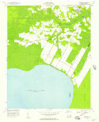 1954 Creswell1957 Print · USGSCoastal North Carolina was defined by its water-management systems and small farming hamlets in the mid-1950s. Genealogists can trace family roots through numerous local landmarks like Woodley Chapel, St Marys Ch, and the community of Cherry.2 unique versions available
 - 1954 Map of Creswell SE, 1957 Print
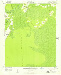 1954 Creswell SE1957 Print · USGSTyrrell and Washington counties in the mid-1950s show a landscape shaped by drainage and quiet rural settlement. Genealogists can trace family locations near Holly Grove Ch, Woodleys Chapel, and the isolated community of New Lands.2 unique versions available
 - 1954 Map of Westover, 1957 Print
 1954 Westover1957 Print · USGSThe Roanoke River delta meets the Albemarle Sound in the mid-1950s, showing a landscape defined by tidewater agriculture and rail transport. Genealogists can locate family landmarks such as Saints Delight Ch, Zion Chapel, and the community of Westover.2 unique versions available
 - 1954 Map of Pungo Lake, 1957 Print
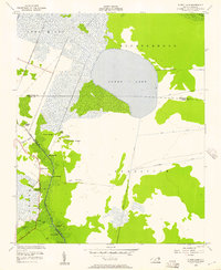 1954 Pungo Lake1957 Print · USGSCoastal Hyde and Washington counties in the early fifties reveal a landscape defined by water and ridge settlements. Genealogists can trace family access points at Elbow Landing and Davis Landing or find the remote Union Grove settlement.2 unique versions available
 - 1954 Map of New Lake NW, 1957 Print
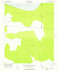 1954 New Lake NW1957 Print · USGSThe swampy interior of Hyde and Washington counties is revealed in the mid-1950s as a landscape of vast drainage canals and wetlands. Genealogists and researchers can trace the intricate waterways of Huntinghouse Canal, Lake Canal, and the southern shores of Phelps Lake.3 unique versions available
 - 1954 Map of Pike Road, 1957 Print
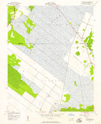 1954 Pike Road1957 Print · USGSCoastal North Carolina's drainage and swamp lands are seen here in the mid-fifties as engineering transformed the Beaufort and Washington county lines. Researchers can trace the layout of early canal systems like the East Pantego Intercepting Canal and find local landmarks such as Wenona Ch and the Pike Road settlement.2 unique versions available
 - 1954 Map of Leonards Point, 1957 Print
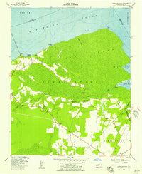 1954 Leonards Point1957 Print · USGSCoastal Washington County during the mid-1950s shows a landscape of expansive wetlands and small shoreline landings. Genealogists can trace family names at Piney Grove Ch or locate old community hubs like Davenport Forks and Pea Ridge.2 unique versions available
 - 1978 Map of Hoke
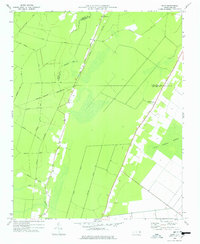 1978 Hoke1978 Print · USGSCoastal North Carolina's timber and rail country is captured here during the mid-seventies, showing the intersection of Beaufort and Washington counties. Genealogists can locate family burial sites along Long Ridge Road and historic congregations like Christian Hope Ch.
 - 1979 Map of Plymouth West
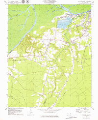 1979 Plymouth West1979 Print · USGSThe Roanoke River lowlands and the industrial outskirts of Plymouth come into focus during the mid-1970s. Trace local history through the many rural churches and rail lines like Union Town Ch, Wares Chapel, and the Seaboard Coast Line.2 unique versions available
 - 1982 Map of Yeopim River
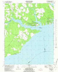 1982 Yeopim River1982 Print · USGSCoastal North Carolina in the early eighties shows a landscape of riverfront growth and quiet rural tradition. Researchers can trace family-named sites like Philips Landing and Nixons Beach or locate old community centers such as New Haven Ch.
 - 1985 Map of Elizabeth City
 1985 Elizabeth City1985 Print · USGSCoastal North Carolina's rivers and sounds define the landscape of the mid-eighties, from the vast swamps to the historical waterfronts of Elizabeth City and Edenton. Researchers can trace the rail lines of the Southern Ry or locate landmarks like Beaver Hill Cem and South Mills.2 unique versions available
 - 1985 Map of Plymouth
 1985 Plymouth1985 Print · USGSThe coastal plains of Washington and Beaufort counties come into focus in the mid-eighties as a region defined by large-scale conservation and water-bound trade. Researchers can trace the layout of small farming towns like Pantego and Creswell alongside the vast waters of Phelps Lake and Lake Mattamuskeet.2 unique versions available
Showing maps 1-25 of 101
Top cities of Washington County
Frequently asked questions
- What are the different types of historical maps available for Washington County?
- What is the oldest map of Washington County?
- Where can I purchase historical maps of Washington County for my home or office?
- Where can I download high-res historical maps of Washington County?
- Are there historical topographic maps available for Washington County?
- Is there historical aerial imagery available for Washington County?
- Where are historical maps of Washington County sourced from?