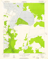
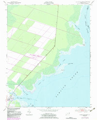
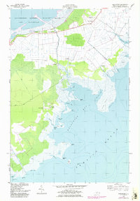
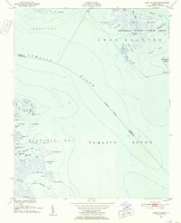
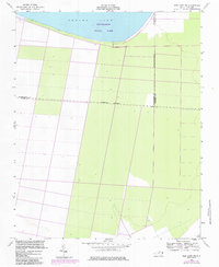
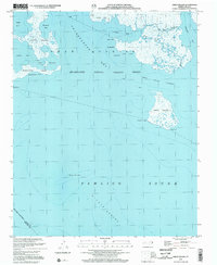
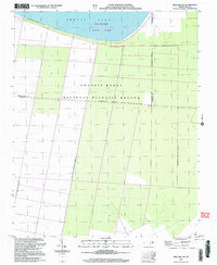
1954 Map of Pungo Lake
USGS Topo · Published 1957This historical map portrays the area of Pungo Lake in 1954, primarily covering Hyde County as well as portions of Beaufort County and Washington County. Featuring a scale of 1:24000, this map provides a highly detailed snapshot of the terrain, roads, buildings, counties, and historical landmarks in the Pungo Lake region at the time. Published in 1957, it is one of 2 known editions of this map due to revisions or reprints.
Find a feature on this map
31 named features on this map. Tap any name to fly to it.
Don’t see what you’re looking for? This feature index may not catch every label — zoom into the map to look around manually.
Map Details
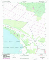
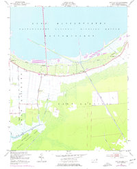
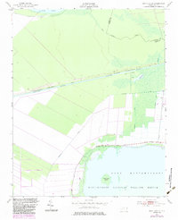
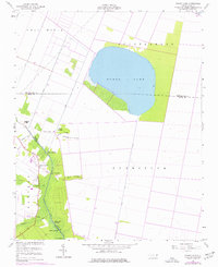
Editions of this 1954 Pungo Lake Map
2 editions found
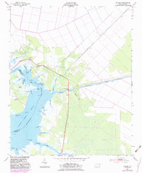
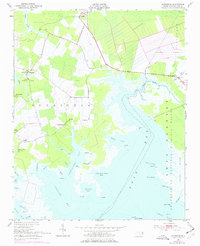
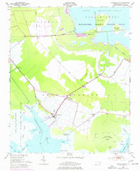
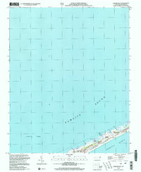
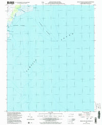
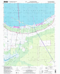
Historical Maps of Washington County Through Time
27 maps found
1950 Green Island
Hyde County, NC
1950 Howard Reef
Hyde County, NC
1951 Bluff Point
Hyde County, NC
1951 Engelhard East
Hyde County, NC
1951 Engelhard West
Hyde County, NC
1951 Great Island
Hyde County, NC
1951 Middletown Anchorage
Hyde County, NC
1951 Middletown
Hyde County, NC
1951 New Holland
Hyde County, NC
1951 New Lake SE
Hyde County, NC
1951 Pamlico Beach
Hyde County, NC
1951 Pamlico Point
Hyde County, NC
1951 Ponzer
Hyde County, NC
1951 Scranton
Hyde County, NC
1951 Swanquarter
Hyde County, NC
1954 New Lake NW
Hyde County, NC
1954 Pungo Lake
Hyde County, NC
2000 Engelhard West
Hyde County, NC
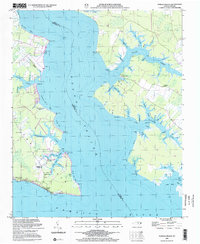
2002 Bluff Point
Hyde County, NC
2002 Great Island
Hyde County, NC
2002 Howard Reef
Hyde County, NC
2002 Middletown Anchorage
Hyde County, NC

2002 Middletown
Hyde County, NC
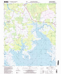
2002 New Holland
Hyde County, NC
2002 New Lake NW
Hyde County, NC
2002 Pamlico Beach
Hyde County, NC
2002 Scranton
Hyde County, NC