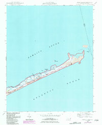
1950 Map of Green Island
USGS Topo · Published 1983About this map
Ocracoke Island sits narrowly between the Pamlico Sound and the Atlantic Ocean, revealing a landscape shaped by water and wind. This 1950s era survey, later updated in the early 1980s, documents the intricate geography of the Cape Hatteras National Seashore before significant modern development. The presence of the Green Island Club and the Old Green Island Club points to the area's history as a destination for maritime recreation and coastal sporting life.
Find a feature on this map
26 named features on this map. Tap any name to fly to it.
Don’t see what you’re looking for? This feature index may not catch every label — zoom into the map to look around manually.
Map Details
Editions of this 1950 Green Island Map
3 editions found
Other maps of this area
1948 · Ocracoke
USGS Topo · 1:24,000

1950 · Howard Reef
USGS Topo · 1:24,000
1950 · Green Island
USGS Topo · 1:24,000

1955 · Wanchese
USGS Topo · 1:250,000

1957 · Manteo
USGS Topo · 1:250,000

1960 · Manteo
USGS Topo · 1:250,000

1985 · Cape Hatteras
USGS Topo · 1:100,000
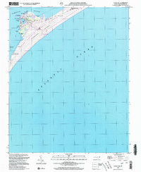
2002 · Ocracoke
USGS Topo · 1:24,000
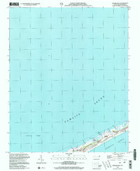
2002 · Howard Reef
USGS Topo · 1:24,000
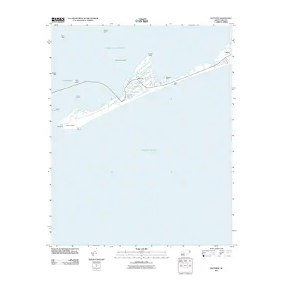
2011 · Hatteras
USGS Topo · 1:24,000