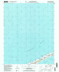
2002 Map of Howard Reef
USGS Topo · Published 2002About this map
Ocracoke Island serves as the thin, shifting barrier between the expansive Pamlico Sound and the Atlantic Ocean in this coastal survey. Much of the land is preserved under the Cape Hatteras National Seashore, where the terrain is defined by low-lying maritime features such as Hammock Oaks and Knoll Cedars. The map records a landscape shaped by water and wind, from the tidal cuts of Little Swash Opening and Sand Hole Cr to the slightly elevated grounds of Parkers Hill and First Hammock Hills. Small outposts like Cass Williams Camp and Dicks Camp are scattered along the sound side of the island, suggesting a history of seasonal or maritime use rather than dense permanent settlement. Offshore, the namesake Howard Reef sits submerged in the sound, illustrating the complex shoals and waterways that have long challenged navigators along the Outer Banks.
Find a feature on this map
20 named features on this map. Tap any name to fly to it.
Don’t see what you’re looking for? This feature index may not catch every label — zoom into the map to look around manually.
Map Details
Editions of this 2002 Howard Reef Map
This is the sole edition of this map. No revisions or reprints were ever made.
Other maps of this area

1948 · Portsmouth
USGS Topo · 1:24,000
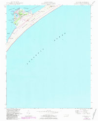
1948 · Ocracoke
USGS Topo · 1:24,000

1950 · Howard Reef
USGS Topo · 1:24,000

1950 · Portsmouth
USGS Topo · 1:24,000
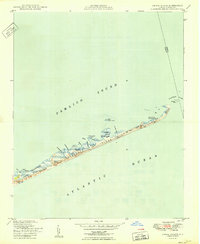
1950 · Green Island
USGS Topo · 1:24,000

1953 · Rocky Mount
USGS Topo · 1:250,000

1954 · Rocky Mount
USGS Topo · 1:250,000

1955 · Wanchese
USGS Topo · 1:250,000

1957 · Manteo
USGS Topo · 1:250,000

1960 · Manteo
USGS Topo · 1:250,000