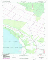
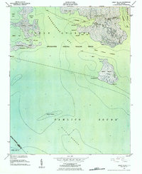
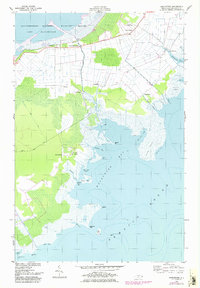
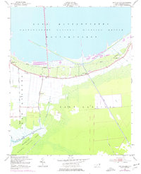
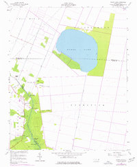
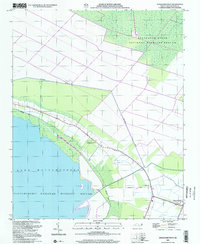
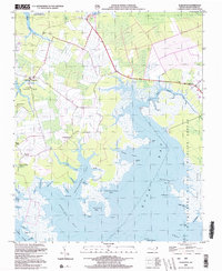
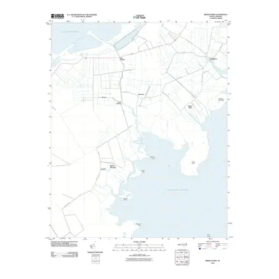
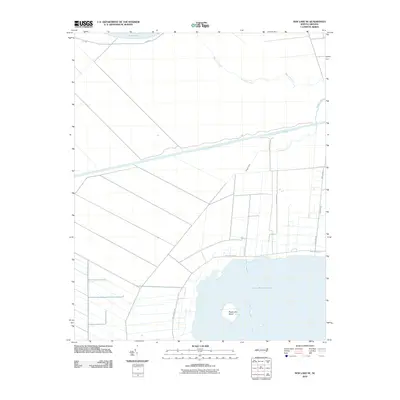
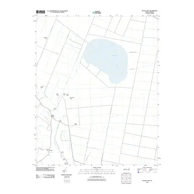
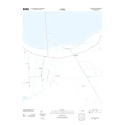
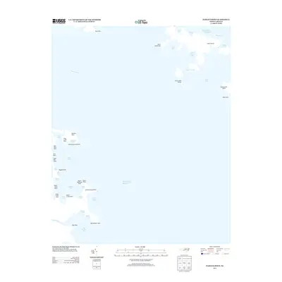
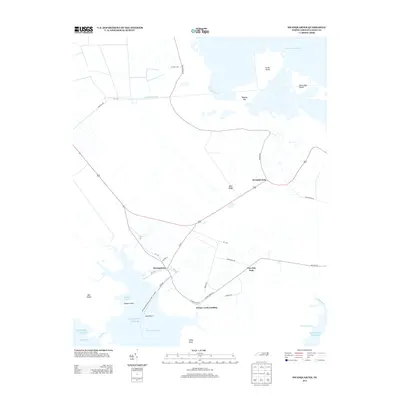
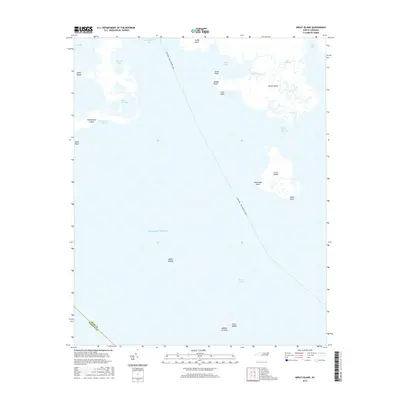
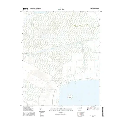
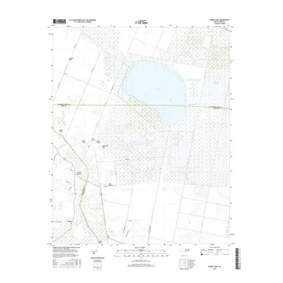
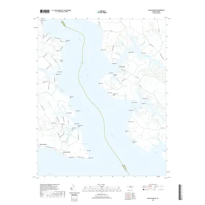
1951 Map of New Lake SE
USGS Topo · Published 1983About this map
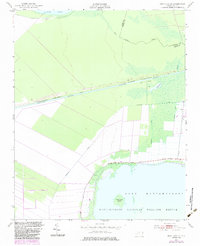
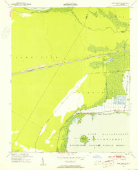
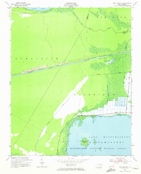
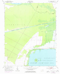
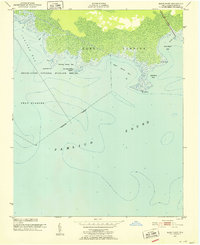
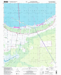
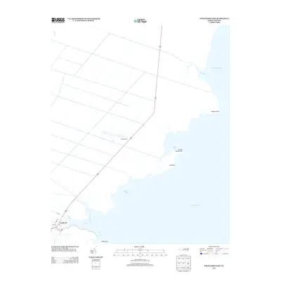
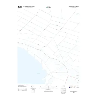
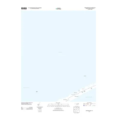
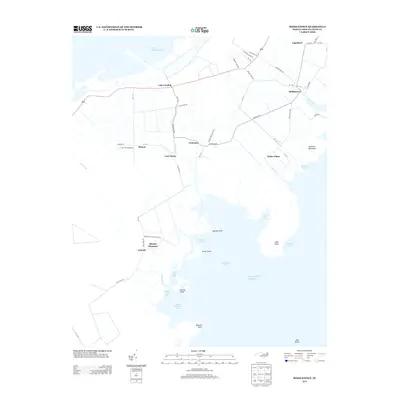
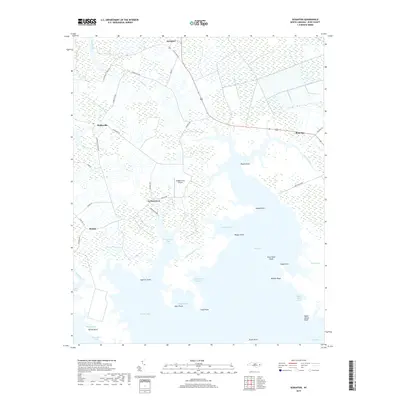
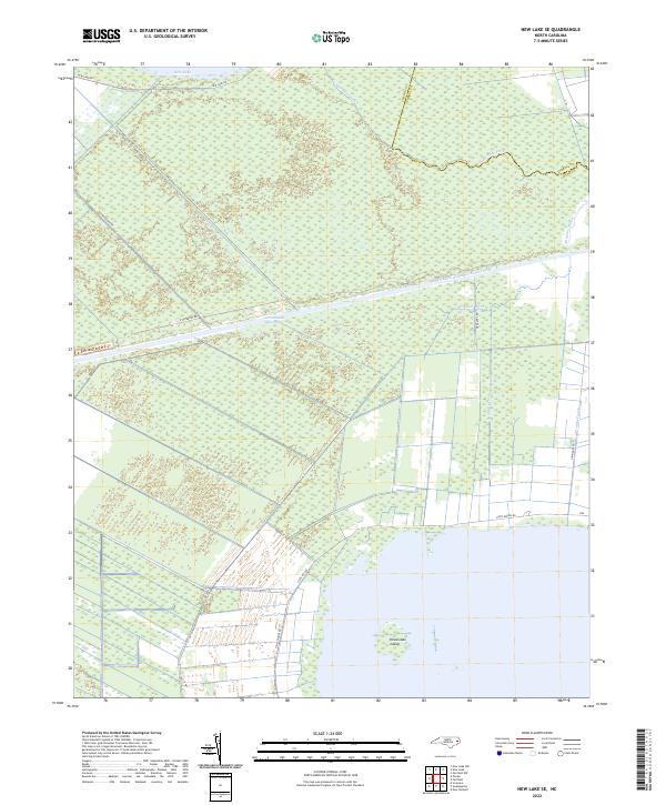
Mattamuskeet National Wildlife Refuge dominates the southern landscape of this coastal North Carolina survey, preserving the northern reaches of Lake Mattamuskeet. The map illustrates a highly engineered hydrologic environment where the Intracoastal Waterway Alligator River-Pungo River Canal cuts a straight line through the pocosin and swamp forest, connecting the Alligator River to the Pungo. This corridor is flanked by a complex system of drainage features, including the Florida Canal and numerous unnamed channels that define the agricultural and conservation boundaries.
Find a feature on this map
14 named features on this map. Tap any name to fly to it.
Don’t see what you’re looking for? This feature index may not catch every label — zoom into the map to look around manually.
Map Details
Editions of this 1951 New Lake SE Map
4 editions found
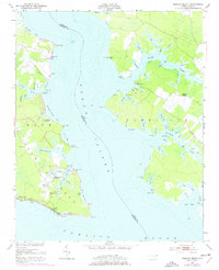
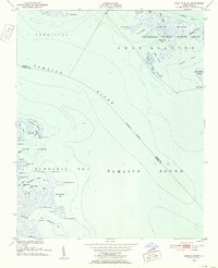
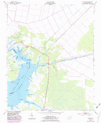
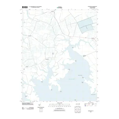
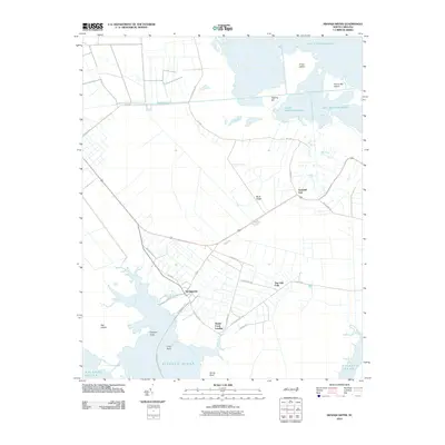
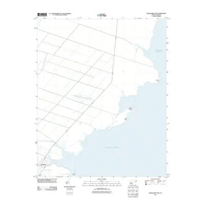
Historical Maps of Hyde County Through Time
117 maps found
1950 Green Island
Hyde County, NC
1950 Howard Reef
Hyde County, NC
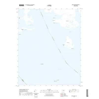
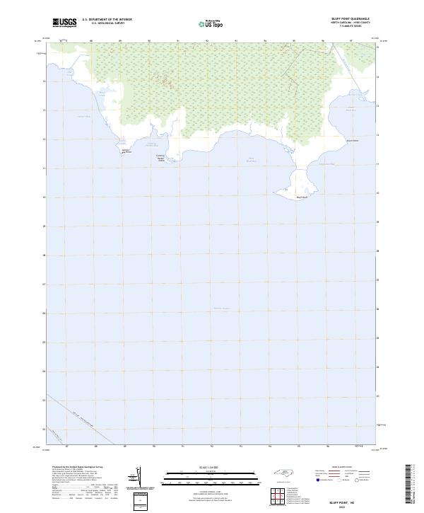
1951 Bluff Point
Hyde County, NC
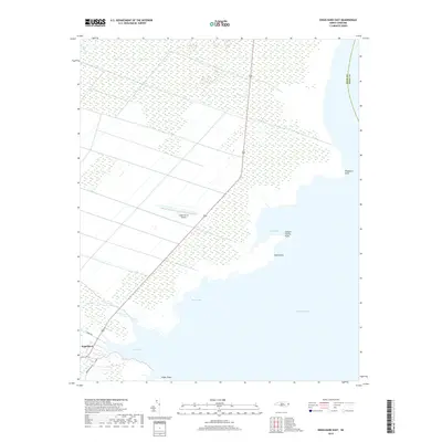
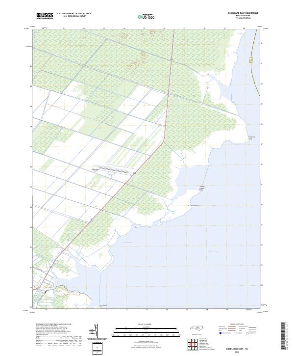
1951 Engelhard East
Hyde County, NC
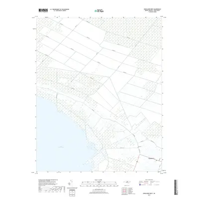
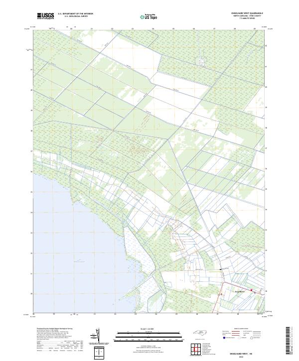
1951 Engelhard West
Hyde County, NC
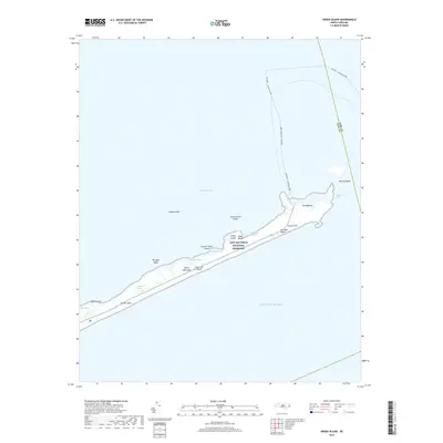
1951 Great Island
Hyde County, NC
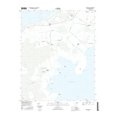
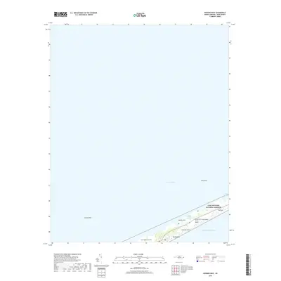
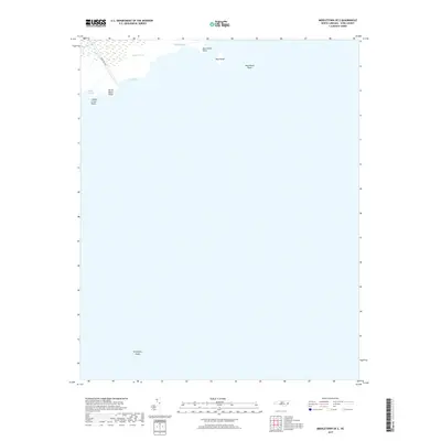
1951 Middletown Anchorage
Hyde County, NC
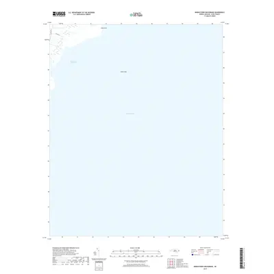
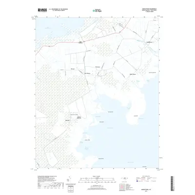
1951 Middletown
Hyde County, NC
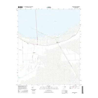
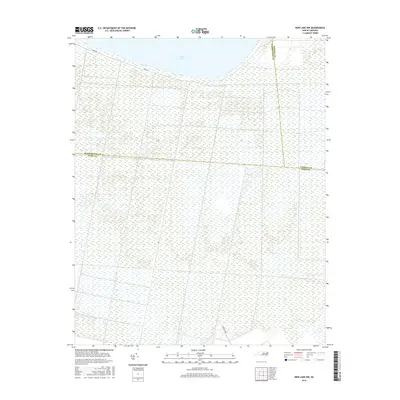
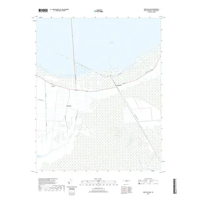
1951 New Holland
Hyde County, NC
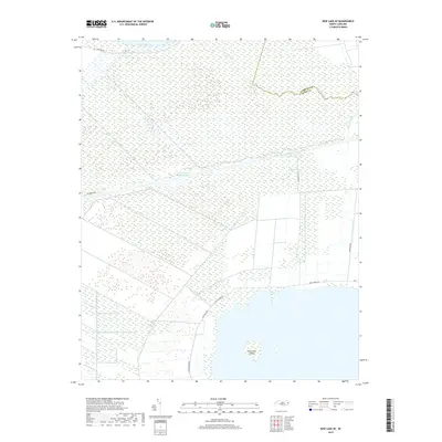
1951 New Lake SE
Hyde County, NC
1951 Pamlico Beach
Hyde County, NC
1951 Pamlico Point
Hyde County, NC
1951 Ponzer
Hyde County, NC
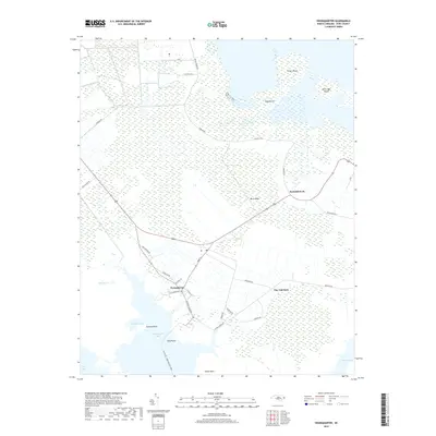
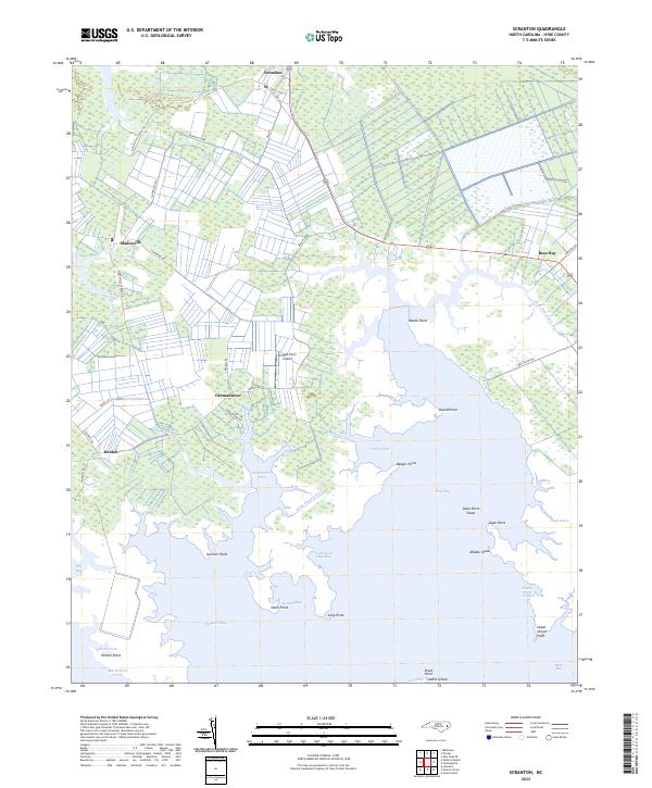
1951 Scranton
Hyde County, NC
1951 Swanquarter
Hyde County, NC
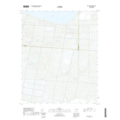
1954 New Lake NW
Hyde County, NC
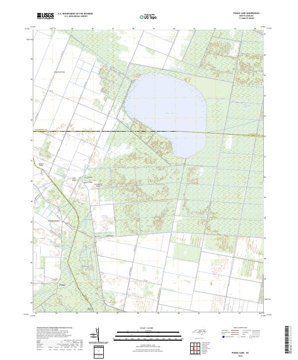
1954 Pungo Lake
Hyde County, NC
2000 Engelhard West
Hyde County, NC
2002 Bluff Point
Hyde County, NC
2002 Great Island
Hyde County, NC
2002 Howard Reef
Hyde County, NC
2002 Middletown Anchorage
Hyde County, NC

2002 Middletown
Hyde County, NC
2002 New Holland
Hyde County, NC
2002 New Lake NW
Hyde County, NC
2002 Pamlico Beach
Hyde County, NC
2002 Scranton
Hyde County, NC
2010 Bluff Point
Hyde County, NC
2010 Engelhard West
Hyde County, NC
2010 Great Island
Hyde County, NC
2010 Middletown
Hyde County, NC
2010 Middletown OE S
Hyde County, NC
2010 New Holland
Hyde County, NC
2010 New Lake NW
Hyde County, NC
2010 New Lake SE
Hyde County, NC
2010 Pamlico Beach
Hyde County, NC
2010 Pamlico Point
Hyde County, NC
2010 Ponzer
Hyde County, NC
2010 Pungo Lake
Hyde County, NC
2010 Scranton
Hyde County, NC
2010 Swanquarter
Hyde County, NC
2011 Engelhard East
Hyde County, NC
2011 Green Island
Hyde County, NC
2011 Howard Reef
Hyde County, NC
2011 Middletown Anchorage
Hyde County, NC
2013 Bluff Point
Hyde County, NC
2013 Engelhard East
Hyde County, NC
2013 Engelhard West
Hyde County, NC
2013 Great Island
Hyde County, NC
2013 Green Island
Hyde County, NC
2013 Howard Reef
Hyde County, NC
2013 Middletown Anchorage
Hyde County, NC
2013 Middletown
Hyde County, NC
2013 Middletown OE S
Hyde County, NC
2013 New Holland
Hyde County, NC
2013 New Lake NW
Hyde County, NC
2013 New Lake SE
Hyde County, NC
2013 Pamlico Beach
Hyde County, NC
2013 Pamlico Point
Hyde County, NC
2013 Ponzer
Hyde County, NC
2013 Pungo Lake
Hyde County, NC
2013 Scranton
Hyde County, NC
2013 Swanquarter
Hyde County, NC
2016 Bluff Point
Hyde County, NC
2016 Engelhard East
Hyde County, NC
2016 Engelhard West
Hyde County, NC
2016 Great Island
Hyde County, NC
2016 Green Island
Hyde County, NC
2016 Howard Reef
Hyde County, NC
2016 Middletown Anchorage
Hyde County, NC
2016 Middletown
Hyde County, NC
2016 Middletown OE S
Hyde County, NC
2016 New Holland
Hyde County, NC
2016 New Lake NW
Hyde County, NC
2016 New Lake SE
Hyde County, NC
2016 Pamlico Beach
Hyde County, NC
2016 Pamlico Point
Hyde County, NC
2016 Ponzer
Hyde County, NC
2016 Pungo Lake
Hyde County, NC
2016 Scranton
Hyde County, NC
2016 Swanquarter
Hyde County, NC
2019 Bluff Point
Hyde County, NC
2019 Engelhard East
Hyde County, NC
2019 Engelhard West
Hyde County, NC
2019 Great Island
Hyde County, NC
2019 Green Island
Hyde County, NC
2019 Howard Reef
Hyde County, NC
2019 Middletown Anchorage
Hyde County, NC
2019 Middletown
Hyde County, NC
2019 Middletown OE S
Hyde County, NC
2019 New Holland
Hyde County, NC
2019 New Lake NW
Hyde County, NC
2019 New Lake SE
Hyde County, NC
2019 Pamlico Beach
Hyde County, NC
2019 Pamlico Point
Hyde County, NC
2019 Ponzer
Hyde County, NC
2019 Pungo Lake
Hyde County, NC
2019 Scranton
Hyde County, NC
2019 Swanquarter
Hyde County, NC
2022 Bluff Point
Hyde County, NC
2022 Engelhard East
Hyde County, NC
2022 Engelhard West
Hyde County, NC
2022 Great Island
Hyde County, NC
2022 Green Island
Hyde County, NC
2022 Howard Reef
Hyde County, NC
2022 Middletown Anchorage
Hyde County, NC
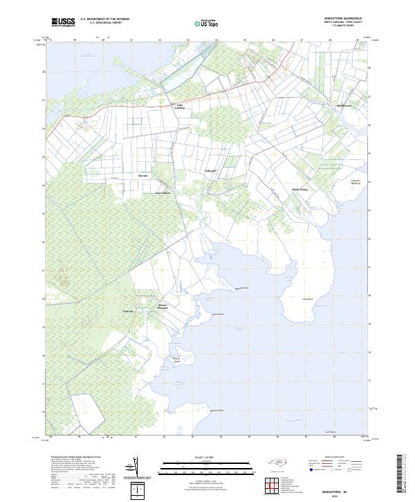
2022 Middletown
Hyde County, NC
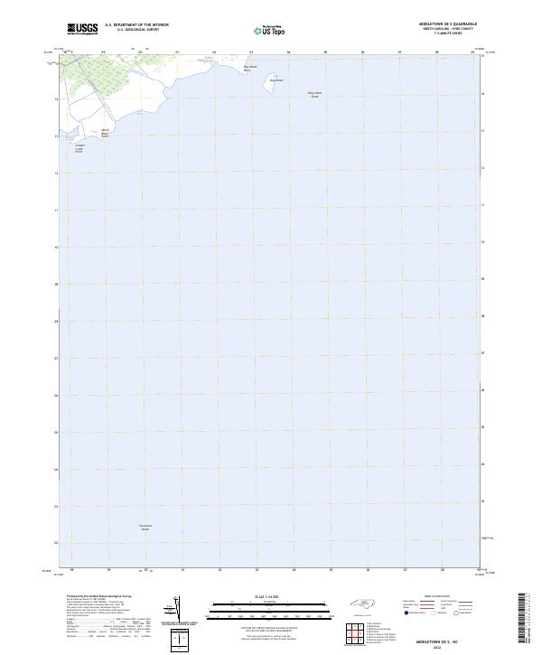
2022 Middletown OE S
Hyde County, NC
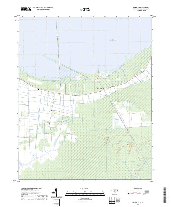
2022 New Holland
Hyde County, NC
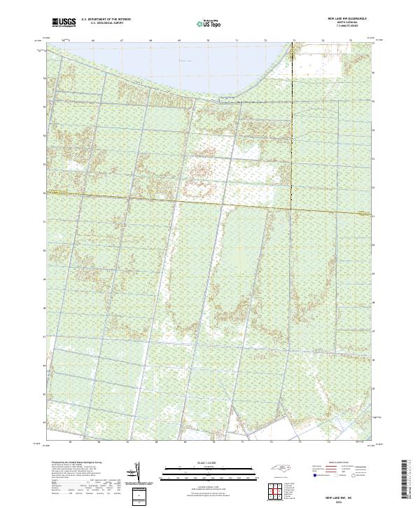
2022 New Lake NW
Hyde County, NC
2022 New Lake SE
Hyde County, NC
2022 Pamlico Beach
Hyde County, NC
2022 Pamlico Point
Hyde County, NC
2022 Ponzer
Hyde County, NC
2022 Pungo Lake
Hyde County, NC
2022 Scranton
Hyde County, NC

2022 Swanquarter
Hyde County, NC