
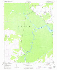
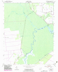
1953 Map of Fairfield NW
USGS Topo · Published 1956About this map
Gum Neck and the surrounding coastal plains of Tyrrell and Hyde Counties appear here as a land of wetlands and water-dependent commerce in the early 1950s. The serpentine path of the Alligator River serves as the primary geographic divider, fed by the Northwest Fork and Southwest Fork. Settlement patterns are distinctly concentrated along the edges of higher ground like Long Ridge, where small communities such as Kilkenny and Piney Grove developed.
Find a feature on this map
21 named features on this map. Tap any name to fly to it.
Don’t see what you’re looking for? This feature index may not catch every label — zoom into the map to look around manually.
Map Details
Editions of this 1953 Fairfield NW Map
3 editions found
Other maps of this area

1943 · Columbia
USGS Topo · 1:125,000

1951 · Engelhard West
USGS Topo · 1:24,000

1951 · Fairfield
USGS Topo · 1:24,000

1951 · New Lake SE
USGS Topo · 1:24,000

1953 · Fairfield NE
USGS Topo · 1:24,000

1953 · Scotia
USGS Topo · 1:24,000

1953 · Frying Pan
USGS Topo · 1:24,000

1953 · Rocky Mount
USGS Topo · 1:250,000

1954 · Rocky Mount
USGS Topo · 1:250,000
1954 · Creswell SE
USGS Topo · 1:24,000