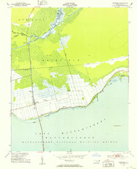
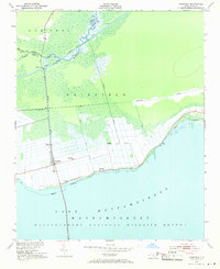
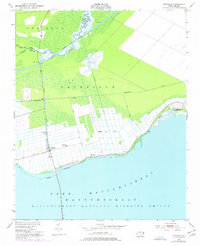
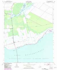
1951 Map of Fairfield
USGS Topo · Published 1953About this map
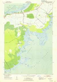
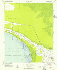
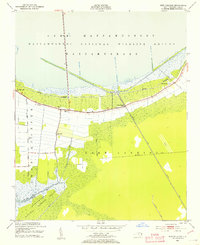
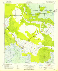
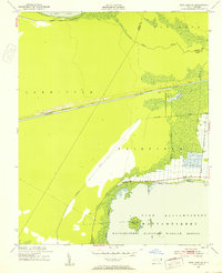
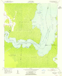
Fairfield stands at the heart of this coastal Carolina landscape, where the extensive drainage systems of Burrus Canal and several unnamed Canal segments meet the northern reaches of Lake Mattamuskeet. The map illustrates a highly managed environment within the Mattamuskeet National Wildlife Refuge, where agricultural tracts are strictly defined by water control infrastructure. Along the shore of the lake, community life is centered around Star Zion Ch and Bethlehem Ch, while the northern portion of the quadrangle is dominated by the Alligator River and the Intracoastal Waterway. This survey details a transitional era for Hyde County, showing established settlements like Carmur and Jones (C) amidst the vast wetlands of Gum Neck. The presence of the Fairfield Bridge and various Ruins suggest the long-standing human efforts to navigate and inhabit this low-lying territory between the sound and the river.
Find a feature on this map
24 named features on this map. Tap any name to fly to it.
Don’t see what you’re looking for? This feature index may not catch every label — zoom into the map to look around manually.
Map Details
Editions of this 1951 Fairfield Map
4 editions found
Other maps of this area

1943 · Columbia
USGS Topo · 1:125,000
1951 · Middletown
USGS Topo · 1:24,000
1951 · Engelhard West
USGS Topo · 1:24,000
1951 · New Holland
USGS Topo · 1:24,000
1951 · Swanquarter
USGS Topo · 1:24,000
1951 · New Lake SE
USGS Topo · 1:24,000
1953 · Fairfield NE
USGS Topo · 1:24,000

1953 · Fairfield NW
USGS Topo · 1:24,000

1953 · Rocky Mount
USGS Topo · 1:250,000

1954 · Rocky Mount
USGS Topo · 1:250,000