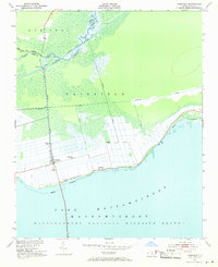
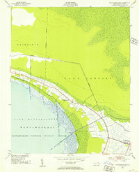
1951 Map of Fairfield
USGS Topo · Published 1971About this map
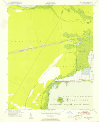
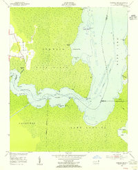
The northern shores of Lake Mattamuskeet dominate this coastal landscape, showing a region defined by extensive drainage engineering and wildlife conservation. The town of Fairfield serves as the primary settlement hub, positioned north of the Mattamuskeet National Wildlife Refuge boundary. This 1951 survey reveals the intricate network of man-made waterways essential to the area's agricultural history, including the Burrus Canal and the Pungo River Canal.
Find a feature on this map
23 named features on this map. Tap any name to fly to it.
Don’t see what you’re looking for? This feature index may not catch every label — zoom into the map to look around manually.
Map Details
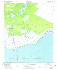
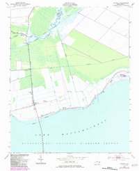
Editions of this 1951 Fairfield Map
4 editions found
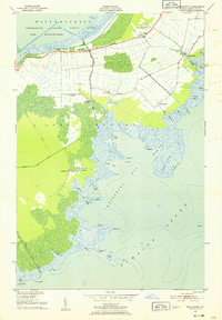
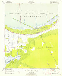
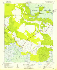
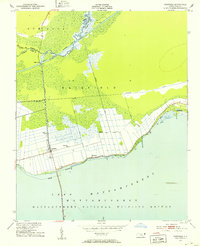
Other maps of this area

1943 · Columbia
USGS Topo · 1:125,000
1951 · Middletown
USGS Topo · 1:24,000
1951 · Engelhard West
USGS Topo · 1:24,000
1951 · New Holland
USGS Topo · 1:24,000
1951 · Swanquarter
USGS Topo · 1:24,000
1951 · Fairfield
USGS Topo · 1:24,000
1951 · New Lake SE
USGS Topo · 1:24,000
1953 · Fairfield NE
USGS Topo · 1:24,000

1953 · Fairfield NW
USGS Topo · 1:24,000

1953 · Rocky Mount
USGS Topo · 1:250,000