
1953 Map of Fairfield NE
USGS Topo · Published 1955About this map
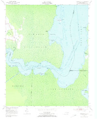
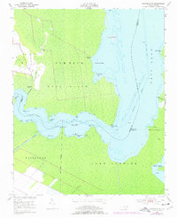
Alligator River and the Intracoastal Waterway dominate this coastal landscape of marshes and inlets in Tyrrell County. The settlement of Gum Neck serves as the primary upland hub, featuring a small grid of roads and several cemeteries situated near the headwaters of Gum Neck Creek. This 1950s-era topography emphasizes the water-dependent nature of the region, where access points like Gum Neck Landing and Grapevine Landing were essential for navigating the complex shoreline.
Find a feature on this map
36 named features on this map. Tap any name to fly to it.
Don’t see what you’re looking for? This feature index may not catch every label — zoom into the map to look around manually.
Map Details
Editions of this 1953 Fairfield NE Map
3 editions found
Other maps of this area

1943 · Columbia
USGS Topo · 1:125,000

1943 · Roanoke Island
USGS Topo · 1:125,000

1951 · Engelhard West
USGS Topo · 1:24,000

1951 · Engelhard East
USGS Topo · 1:24,000

1951 · Fairfield
USGS Topo · 1:24,000

1953 · Engelhard NW
USGS Topo · 1:24,000

1953 · Buffalo City
USGS Topo · 1:24,000

1953 · Scotia
USGS Topo · 1:24,000

1953 · Frying Pan
USGS Topo · 1:24,000

1953 · Fairfield NW
USGS Topo · 1:24,000