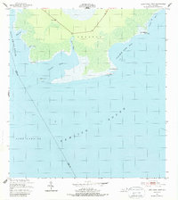
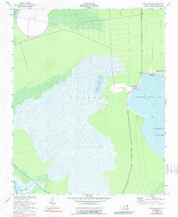
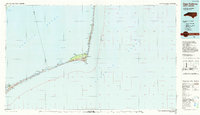
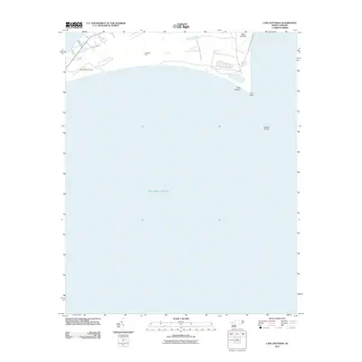
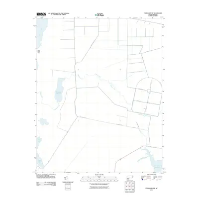
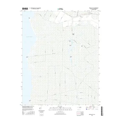
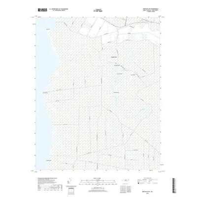
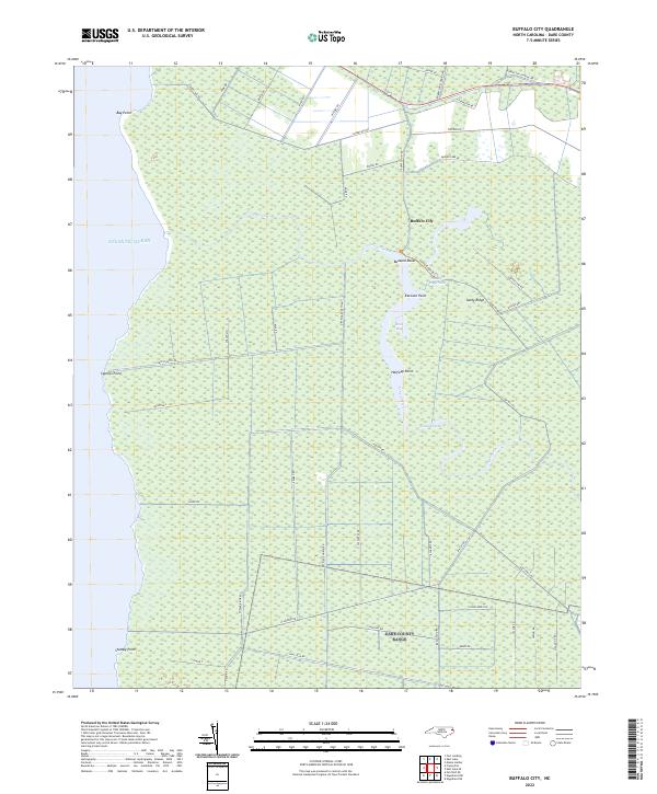
1953 Map of Buffalo City
USGS Topo · Published 1955About this map
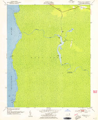
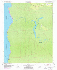
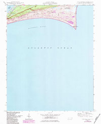
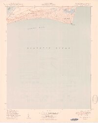
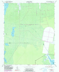
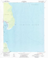
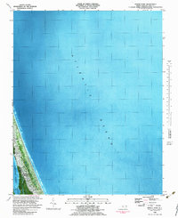
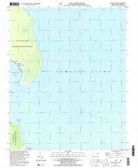
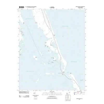
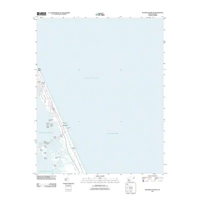
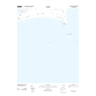
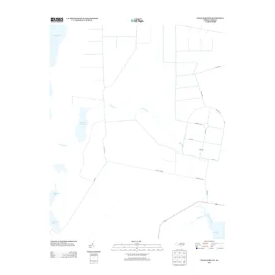
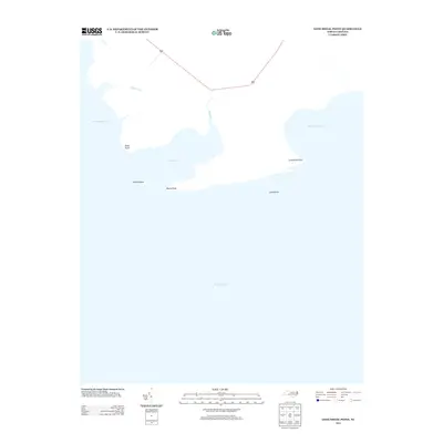
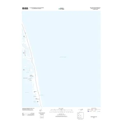
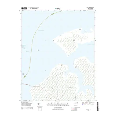
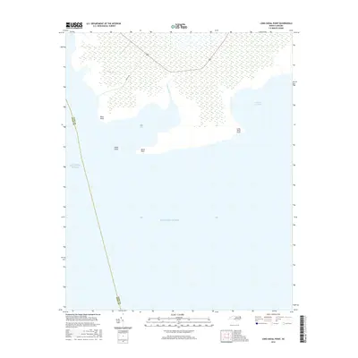
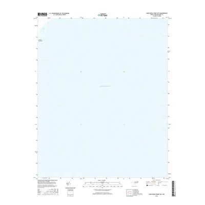
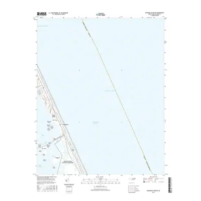
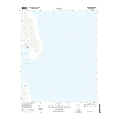
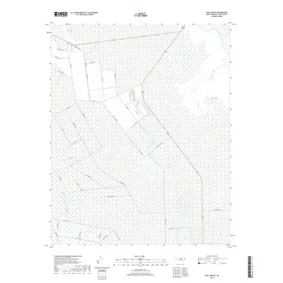
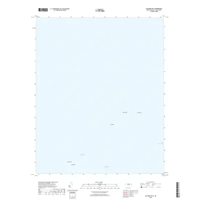
Buffalo City sits at a remote junction of water and swamp in the mid-1950s, a settlement defined by its proximity to Milltail Creek. The landscape is dominated by the vast wetlands of the Dare County mainland, where the Alligator River meets intricate networks of guts and bays. Local life centers along the northern corridor of Highway 64, which passes by the East Lake Ch, a small Cem, and a Lookout Tower. Further south, the map reveals the remnants of a more active past, with several sites marked simply as Ruins near Sandy Ridge and Buzzard Roost. This survey provides a precise record of the shoreline and waterway navigation before modern development, noting features like Beach Land Landing and the hazardous Stump Bars near Stumpy Pt.
Find a feature on this map
24 named features on this map. Tap any name to fly to it.
Don’t see what you’re looking for? This feature index may not catch every label — zoom into the map to look around manually.
Map Details
Editions of this 1953 Buffalo City Map
3 editions found
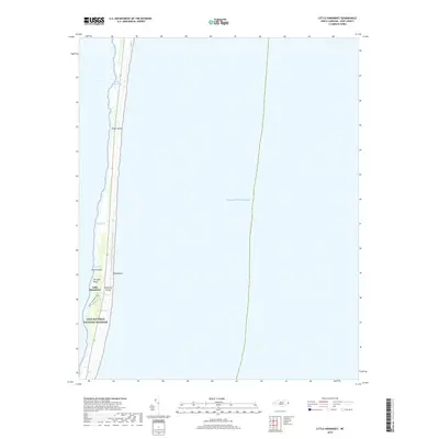
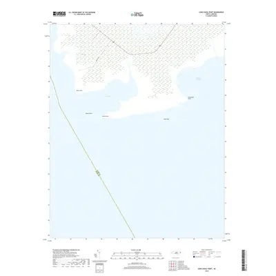
Historical Maps of Dare County Through Time
110 maps found

1943 Roanoke Island
Dare County, NC
1948 Cape Hatteras
Dare County, NC
1950 Cape Hatteras
Dare County, NC
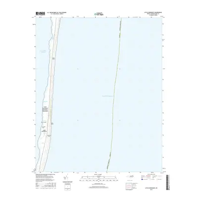
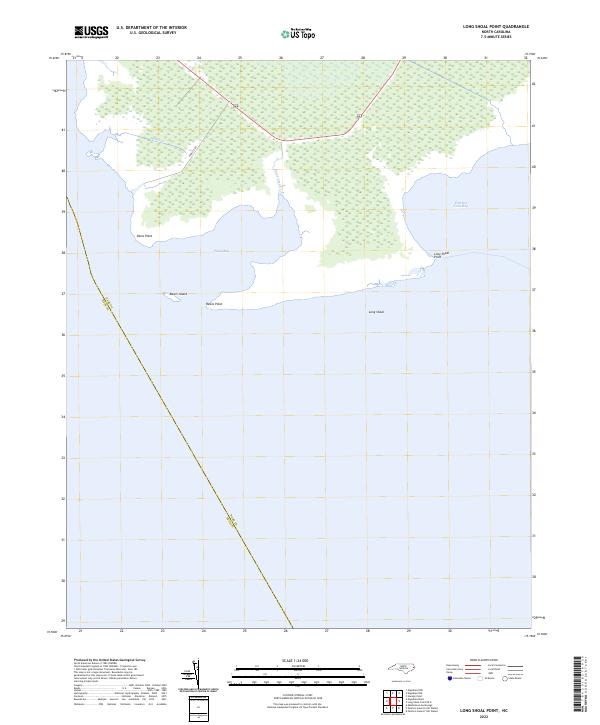
1951 Long Shoal Point
Dare County, NC
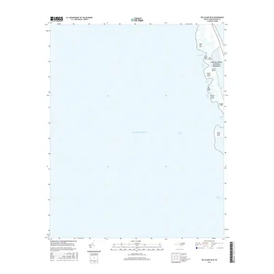
1953 Buffalo City
Dare County, NC
1953 East Lake
Dare County, NC
1953 East Lake SE
Dare County, NC
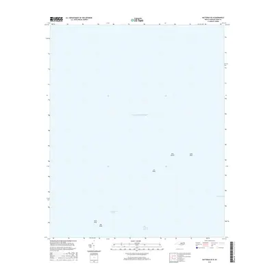
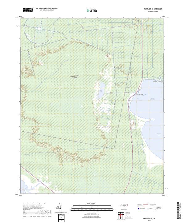
1953 Engelhard NE
Dare County, NC
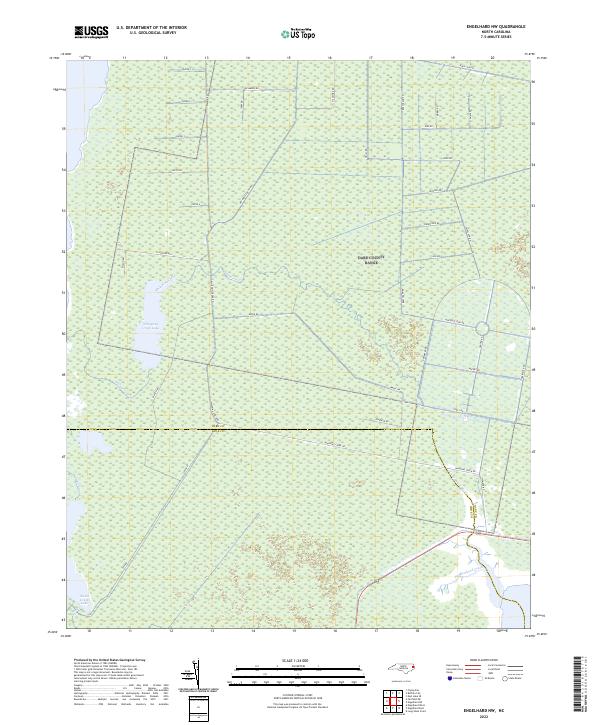
1953 Engelhard NW
Dare County, NC

1953 Roanoke Island NE
Dare County, NC
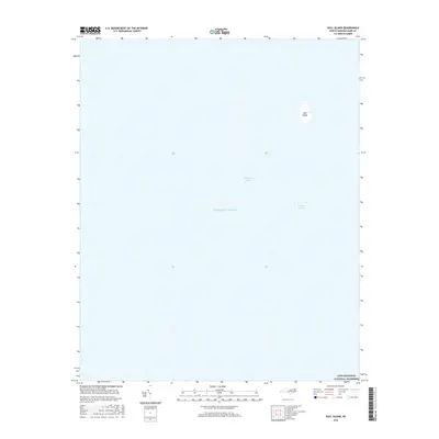
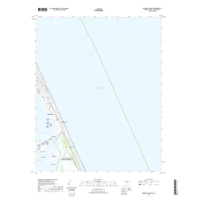
1953 Stumpy Point
Dare County, NC
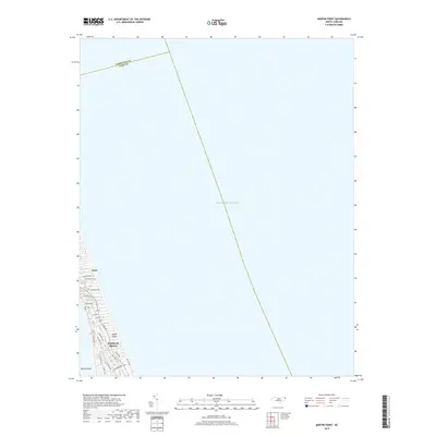
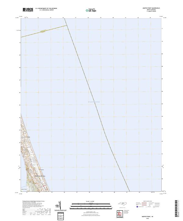
1982 Martin Point
Dare County, NC
1985 Cape Hatteras
Dare County, NC
2000 Engelhard NE
Dare County, NC
2000 Engelhard NW
Dare County, NC
2002 Cape Hatteras
Dare County, NC
2002 Stumpy Point
Dare County, NC
2010 Martin Point
Dare County, NC
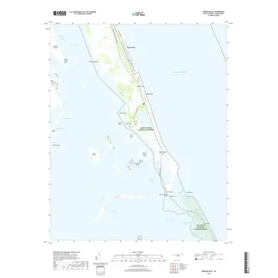
2011 Buffalo City
Dare County, NC
2011 Buxton OE E
Dare County, NC
2011 Cape Hatteras
Dare County, NC
2011 East Lake
Dare County, NC
2011 East Lake SE
Dare County, NC
2011 Engelhard NE
Dare County, NC
2011 Engelhard NW
Dare County, NC
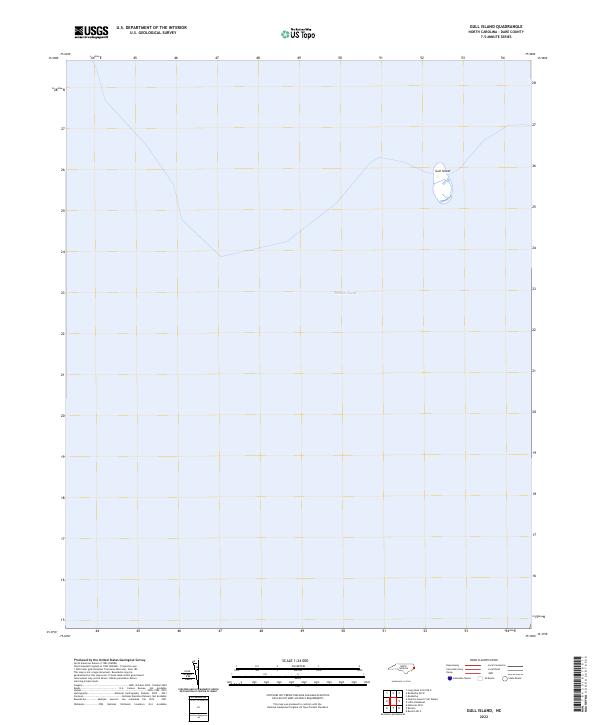
2011 Gull Island
Dare County, NC
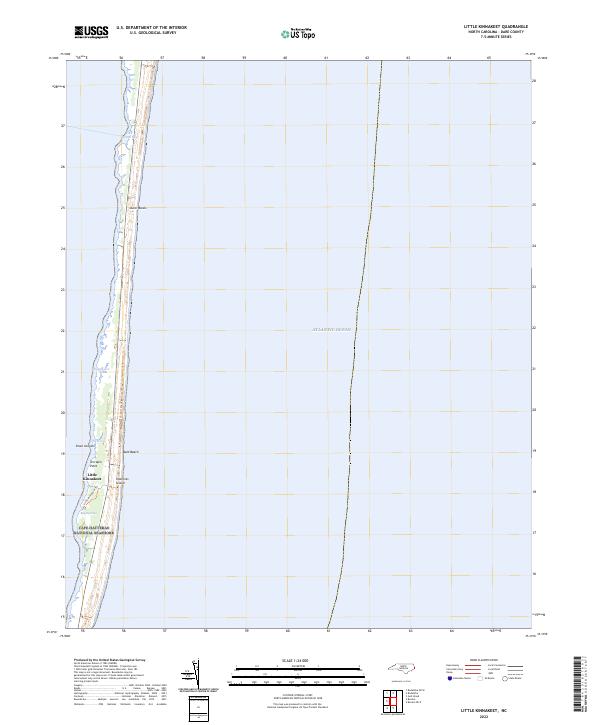
2011 Little Kinnakeet
Dare County, NC
2011 Long Shoal Point
Dare County, NC
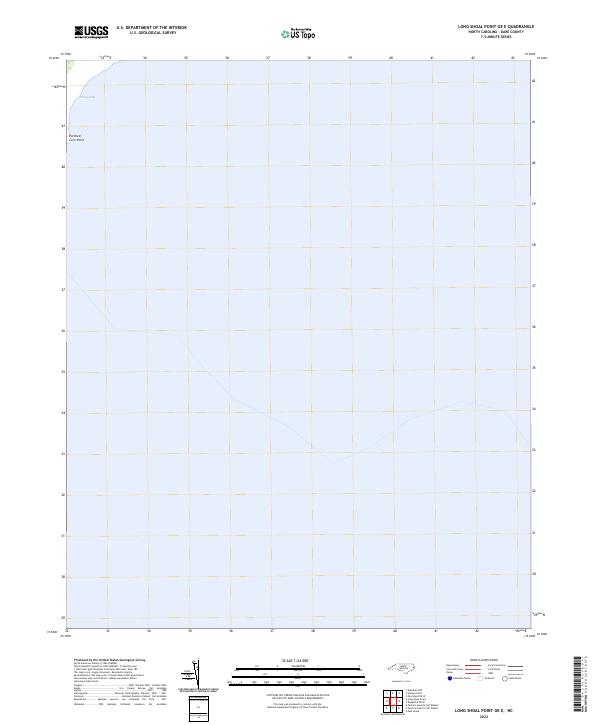
2011 Long Shoal Point OE E
Dare County, NC
2011 Oregon Inlet
Dare County, NC
2011 Pea Island
Dare County, NC
2011 Pea Island OE W
Dare County, NC
2011 Roanoke Island NE
Dare County, NC
2011 Stumpy Point
Dare County, NC
2013 Buffalo City
Dare County, NC
2013 Buxton OE E
Dare County, NC
2013 Cape Hatteras
Dare County, NC
2013 East Lake
Dare County, NC
2013 East Lake SE
Dare County, NC
2013 Engelhard NE
Dare County, NC
2013 Engelhard NW
Dare County, NC
2013 Gull Island
Dare County, NC
2013 Hatteras OE N
Dare County, NC
2013 Little Kinnakeet
Dare County, NC
2013 Long Shoal Point
Dare County, NC
2013 Long Shoal Point OE E
Dare County, NC
2013 Martin Point
Dare County, NC
2013 Oregon Inlet
Dare County, NC
2013 Pea Island
Dare County, NC
2013 Pea Island OE W
Dare County, NC
2013 Roanoke Island NE
Dare County, NC
2013 Rodanthe OE W
Dare County, NC
2013 Stumpy Point
Dare County, NC
2016 Buffalo City
Dare County, NC
2016 Buxton OE E
Dare County, NC
2016 Cape Hatteras
Dare County, NC
2016 East Lake
Dare County, NC
2016 East Lake SE
Dare County, NC
2016 Engelhard NE
Dare County, NC
2016 Engelhard NW
Dare County, NC
2016 Gull Island
Dare County, NC
2016 Hatteras OE N
Dare County, NC
2016 Little Kinnakeet
Dare County, NC
2016 Long Shoal Point
Dare County, NC
2016 Long Shoal Point OE E
Dare County, NC
2016 Martin Point
Dare County, NC
2016 Oregon Inlet
Dare County, NC
2016 Pea Island
Dare County, NC
2016 Pea Island OE W
Dare County, NC
2016 Roanoke Island NE
Dare County, NC
2016 Rodanthe OE W
Dare County, NC
2016 Stumpy Point
Dare County, NC
2019 Buffalo City
Dare County, NC
2019 Buxton OE E
Dare County, NC
2019 Cape Hatteras
Dare County, NC
2019 East Lake
Dare County, NC
2019 East Lake SE
Dare County, NC
2019 Engelhard NE
Dare County, NC
2019 Engelhard NW
Dare County, NC
2019 Gull Island
Dare County, NC
2019 Hatteras OE N
Dare County, NC
2019 Little Kinnakeet
Dare County, NC
2019 Long Shoal Point
Dare County, NC
2019 Long Shoal Point OE E
Dare County, NC
2019 Martin Point
Dare County, NC
2019 Oregon Inlet
Dare County, NC
2019 Pea Island
Dare County, NC
2019 Pea Island OE W
Dare County, NC
2019 Roanoke Island NE
Dare County, NC
2019 Rodanthe OE W
Dare County, NC
2019 Stumpy Point
Dare County, NC
2022 Buffalo City
Dare County, NC
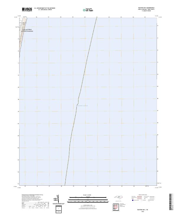
2022 Buxton OE E
Dare County, NC
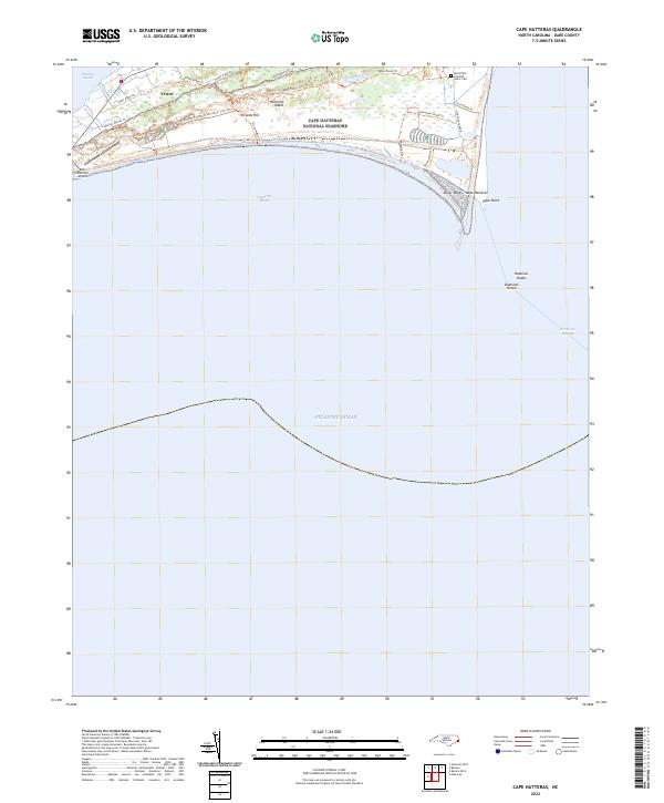
2022 Cape Hatteras
Dare County, NC
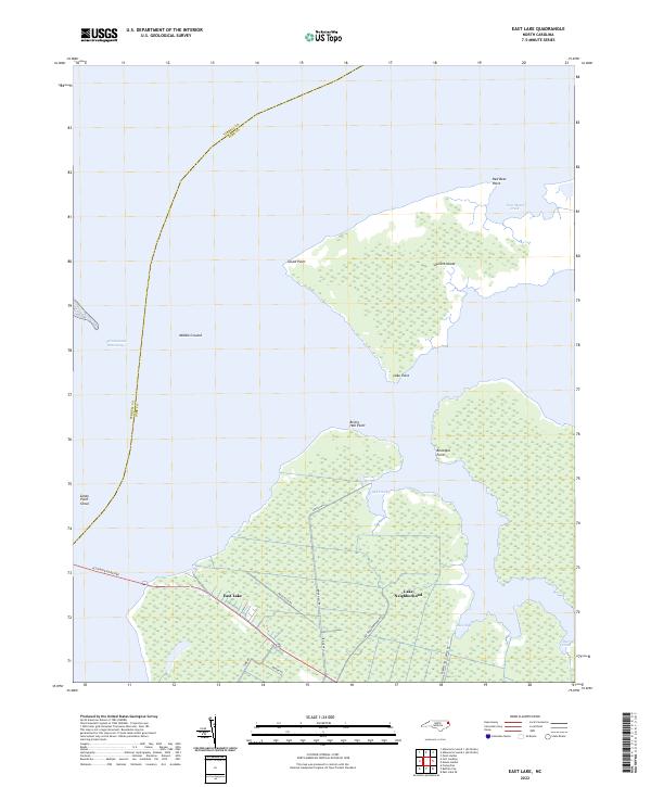
2022 East Lake
Dare County, NC
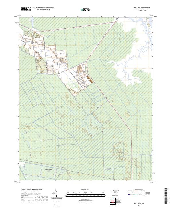
2022 East Lake SE
Dare County, NC
2022 Engelhard NE
Dare County, NC
2022 Engelhard NW
Dare County, NC
2022 Gull Island
Dare County, NC
2022 Hatteras OE N
Dare County, NC
2022 Little Kinnakeet
Dare County, NC
2022 Long Shoal Point
Dare County, NC
2022 Long Shoal Point OE E
Dare County, NC
2022 Martin Point
Dare County, NC
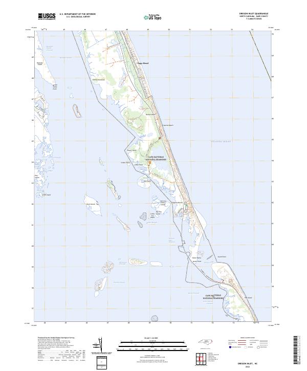
2022 Oregon Inlet
Dare County, NC
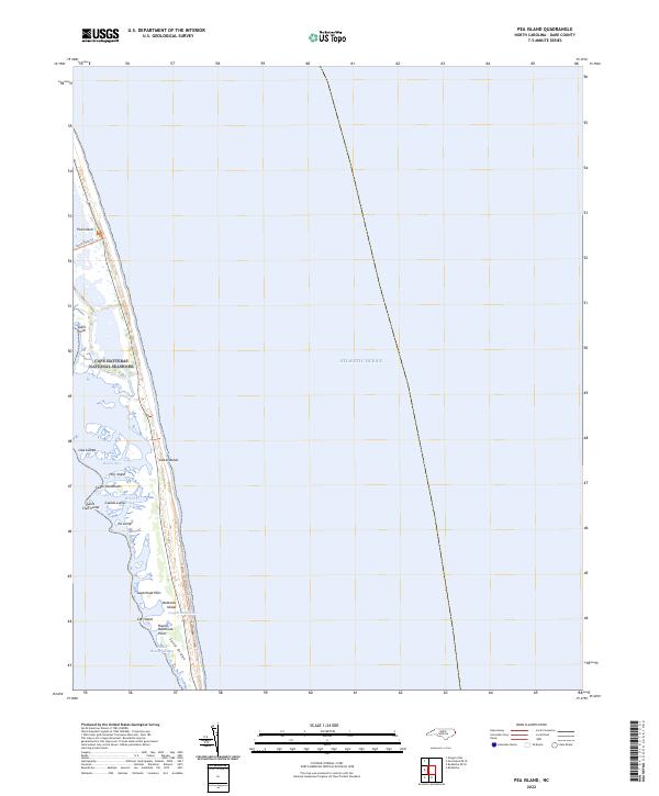
2022 Pea Island
Dare County, NC
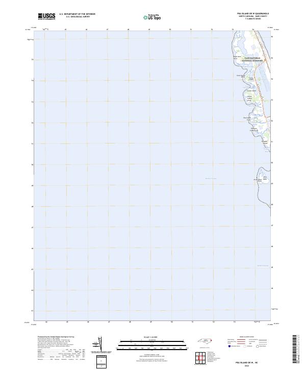
2022 Pea Island OE W
Dare County, NC
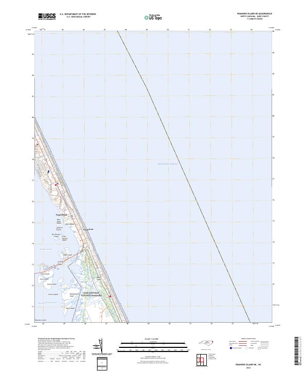
2022 Roanoke Island NE
Dare County, NC
2022 Rodanthe OE W
Dare County, NC
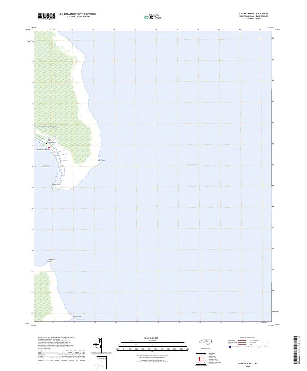
2022 Stumpy Point
Dare County, NC