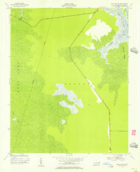
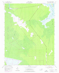
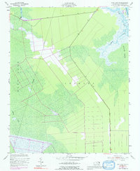
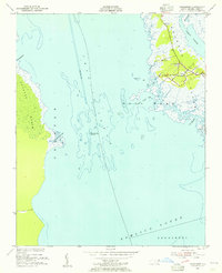
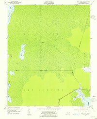
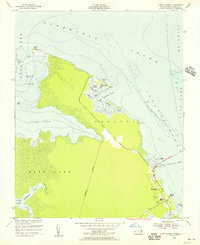
1953 Map of East Lake SE
USGS Topo · Published 1956About this map
Croatan and the expansive Roanoke Marsh define this coastal landscape on the edge of the Croatan Sound during the early 1950s. The terrain is characterized by a dense network of hydrologic features, including the winding Callaghan Creek, Spencer Creek, and Hooker Gut. Surveyed by the Coast and Geodetic Survey, the map captures a period when regional transit was undergoing a major transition. While a straight modern corridor for Route 64 264 and Route 264 cuts through the marshland, the margin notes still reference essential waterborne connections like the ferry landing at Manns Harbor. This interplay between the established natural water boundaries, such as the East Lake shore, and the emerging highway system illustrates the mid-century effort to link these isolated coastal reaches of Dare County to the mainland.
Find a feature on this map
16 named features on this map. Tap any name to fly to it.
Don’t see what you’re looking for? This feature index may not catch every label — zoom into the map to look around manually.
Map Details
Editions of this 1953 East Lake SE Map
Other maps of this area

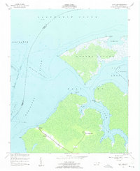
1943 · Roanoke Island
USGS Topo · 1:125,000
1953 · Wanchese
USGS Topo · 1:24,000
1953 · Engelhard NW
USGS Topo · 1:24,000
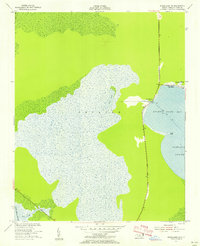
1953 · Buffalo City
USGS Topo · 1:24,000
1953 · Stumpy Point
USGS Topo · 1:24,000
1953 · Manteo
USGS Topo · 1:24,000
1953 · Manns Harbor
USGS Topo · 1:24,000
1953 · East Lake
USGS Topo · 1:24,000
1953 · Engelhard NE
USGS Topo · 1:24,000
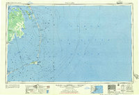
1955 · Wanchese
USGS Topo · 1:250,000