
1953 Map of Engelhard NE
USGS Topo · Published 1956About this map
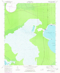
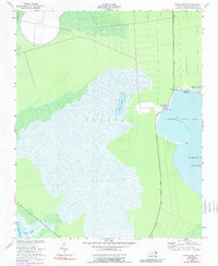
The coastal wetlands and maritime reaches of Dare County are meticulously captured in this mid-century survey, which combines 1950s topography with hydrographic data reaching back to the 1870s. The remote settlement of Stumpy Point serves as the primary hub of human activity, situated where the land meets Stumpy Point Bay. The geography is dominated by a complex network of internal lagoons and tidal rivers, most notably the wide expanse of Croatan and the smaller Back Lake. The reliance on local waterborne travel and community life is evidenced by the presence of the Full Gospel Tabernacle and the small cluster at Lake Worth. This document records a landscape of marshes and sounds before significant modern development, preserving the exact locations of family-named landmarks like Kazer Point and the winding course of the Long Shoal River as it empties into the Pamlico Sound.
Find a feature on this map
12 named features on this map. Tap any name to fly to it.
Don’t see what you’re looking for? This feature index may not catch every label — zoom into the map to look around manually.
Map Details
Editions of this 1953 Engelhard NE Map
3 editions found
Other maps of this area

1943 · Roanoke Island
USGS Topo · 1:125,000

1951 · Long Shoal Point
USGS Topo · 1:24,000

1951 · Engelhard East
USGS Topo · 1:24,000

1953 · Wanchese
USGS Topo · 1:24,000

1953 · Engelhard NW
USGS Topo · 1:24,000

1953 · Buffalo City
USGS Topo · 1:24,000

1953 · Stumpy Point
USGS Topo · 1:24,000

1953 · East Lake SE
USGS Topo · 1:24,000

1955 · Wanchese
USGS Topo · 1:250,000

1957 · Manteo
USGS Topo · 1:250,000