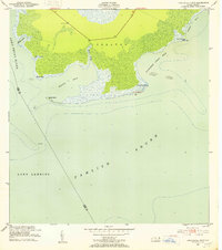
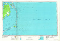
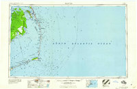
1951 Map of Long Shoal Point
USGS Topo · Published 1953About this map
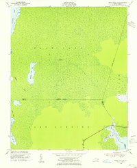
Long Shoal River and the expansive waters of Pamlico Sound dominate this coastal survey of the Outer Banks region. The landscape is characterized by intricate inlets and swampy wetlands, notably within the Croatan area, where drainage is facilitated by features like Muddy Creek and Pains Creek. A solitary Lookout Tower stands as a primary landmark in the northern interior, connected to the coastline by early road segments. Along the shoreline, navigators and local historians will find distinctive points such as Pains Point and Long Shoal Point, along with small landmasses like Rawls Island. The hydrography, based on surveys from the late 19th century, reveals the complex coastal dynamics surrounding Parched Corn Bay and Sandy Bay before modern development or significant shoreline recession altered these reaches.
Find a feature on this map
20 named features on this map. Tap any name to fly to it.
Don’t see what you’re looking for? This feature index may not catch every label — zoom into the map to look around manually.
Map Details
Editions of this 1951 Long Shoal Point Map
2 editions found
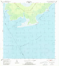
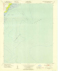
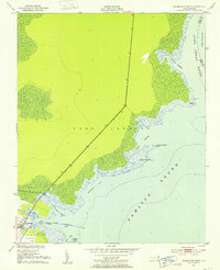
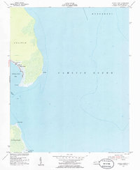
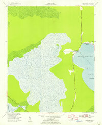
Other maps of this area

1943 · Roanoke Island
USGS Topo · 1:125,000
1951 · Middletown Anchorage
USGS Topo · 1:24,000
1951 · Engelhard East
USGS Topo · 1:24,000
1953 · Engelhard NW
USGS Topo · 1:24,000
1953 · Stumpy Point
USGS Topo · 1:24,000
1953 · Engelhard NE
USGS Topo · 1:24,000
1955 · Wanchese
USGS Topo · 1:250,000
1957 · Manteo
USGS Topo · 1:250,000
1960 · Manteo
USGS Topo · 1:250,000
1985 · Cape Hatteras
USGS Topo · 1:100,000