
1953 Map of Wanchese
USGS Topo · Published 1955About this map
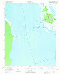
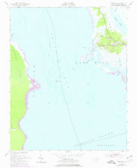
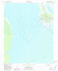
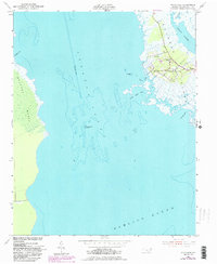
Roanoke Island anchors this mid-century coastal survey, showing the southern portion of the island where the fishing and maritime traditions of Wanchese are deeply established. At the center of the settlement, Bethany Ch and a nearby Cem reflect the community's local roots, while Baumtown sits just to the north along the island's interior roads. The map illustrates a complex aquatic landscape where the Croatan Sound meets the Pamlico Sound, mediated by the Roanoke Marshes Lighthouse and the vast Roanoke Marsh to the west. This era predates significant modern development on Nags Head, focusing instead on the intricate network of tidal waters like Baum Creek, Oyster Creek, and Bush Bay. The hydrography, derived from surveys dating as far back as 1873, captures the shifting nature of these Outer Banks waters and their vital role in local navigation.
Find a feature on this map
22 named features on this map. Tap any name to fly to it.
Don’t see what you’re looking for? This feature index may not catch every label — zoom into the map to look around manually.
Map Details
Editions of this 1953 Wanchese Map
5 editions found
Other maps of this area

1943 · Roanoke Island
USGS Topo · 1:125,000

1953 · Roanoke Island NE
USGS Topo · 1:24,000

1953 · Stumpy Point
USGS Topo · 1:24,000

1953 · Manteo
USGS Topo · 1:24,000

1953 · East Lake SE
USGS Topo · 1:24,000

1953 · Manns Harbor
USGS Topo · 1:24,000

1953 · Engelhard NE
USGS Topo · 1:24,000

1955 · Wanchese
USGS Topo · 1:250,000

1957 · Manteo
USGS Topo · 1:250,000

1960 · Manteo
USGS Topo · 1:250,000