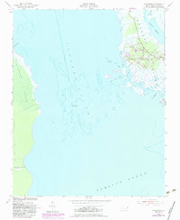
1953 Map of Wanchese
USGS Topo · Published 1983About this map
Wanchese and the adjacent settlement of Baumtown anchor the southern tip of Roanoke Island, where the maritime life of the Outer Banks is etched into the landscape of salt marshes and tidal creeks. This map reflects a mid-century coastal environment, documenting the relationship between the land and the surrounding waters of Croatan Sound and Pamlico Sound. A notable nautical landmark, the Roanoke Marshes Lighthouse, sits offshore in the sound, marking the passage near the expansive Roanoke Marsh.
Find a feature on this map
17 named features on this map. Tap any name to fly to it.
Don’t see what you’re looking for? This feature index may not catch every label — zoom into the map to look around manually.
Map Details
Editions of this 1953 Wanchese Map
5 editions found
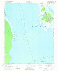
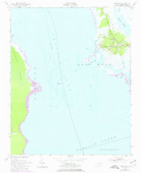
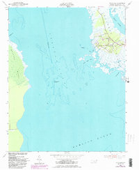
Other maps of this area

1943 · Roanoke Island
USGS Topo · 1:125,000

1953 · Wanchese
USGS Topo · 1:24,000

1953 · Roanoke Island NE
USGS Topo · 1:24,000

1953 · Stumpy Point
USGS Topo · 1:24,000

1953 · Manteo
USGS Topo · 1:24,000

1953 · East Lake SE
USGS Topo · 1:24,000

1953 · Manns Harbor
USGS Topo · 1:24,000

1953 · Engelhard NE
USGS Topo · 1:24,000

1955 · Wanchese
USGS Topo · 1:250,000

1957 · Manteo
USGS Topo · 1:250,000