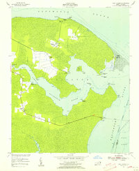
1953 Map of Fort Landing
USGS Topo · Published 1956About this map
Fort Landing and the surrounding marshy landscape of Tyrrell County sit at the strategic confluence where the Little Alligator River meets the broader Alligator River. This mid-century survey reveals a coastal community defined by its proximity to the water, where small settlements like Alligator and Goat Neck are interconnected by a network of landings and small chapels. Genealogists will find interest in the cluster of local landmarks including Wesley Chapel, Mt Maria Ch, and Alligator Chapel, reflecting the area's social fabric.
Find a feature on this map
38 named features on this map. Tap any name to fly to it.
Don’t see what you’re looking for? This feature index may not catch every label — zoom into the map to look around manually.
Map Details
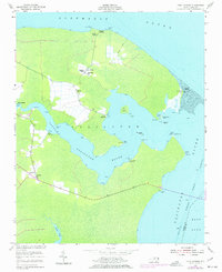
Editions of this 1953 Fort Landing Map
2 editions found
Other maps of this area

1940 · Powells Point
USGS Topo · 1:62,500

1940 · Wade Point
USGS Topo · 1:62,500

1943 · Wade Point
USGS Topo · 1:62,500

1943 · Columbia
USGS Topo · 1:125,000

1943 · Roanoke Island
USGS Topo · 1:125,000

1946 · Eastville
USGS Topo · 1:250,000

1946 · Currituck Sound
USGS Topo · 1:250,000

1948 · Wade Point
USGS Topo · 1:62,500

1953 · Norfolk
USGS Topo · 1:250,000

1953 · Buffalo City
USGS Topo · 1:24,000