2000s (21st Century) Maps of Washington County, North Carolina
Explore 71 historic maps of Washington County from the 2000s (21st Century). These maps offer a rare glimpse into what life looked like during the 2000s — showing old roads, neighborhoods, homes, and landmarks that have changed or disappeared over time.
Whether you're researching your family's past, planning a metal detecting trip, or studying how Washington County's landscape evolved across the 2000s, these high-resolution maps are a powerful tool for exploring the history of this region.
- Focus on a specific era: All maps on this page are from the 2000s, giving you a focused view of this time period.
- See what’s changed: Compare century-old streets, trails, and buildings to today's modern landscape using overlays and satellite layers.
- Research with precision: Use these maps for genealogy, historical research, land use analysis, or educational projects.
- View, download, or print: Maps are fully viewable online in high resolution, and can be downloaded or printed for your own records.
Start exploring Washington County's history through authentic maps from the 2000s. This is your window into the past.
Washington County, NC maps
(71)- 2002 Map of New Lake NW, 2003 Print
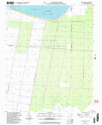 2002 New Lake NW2003 Print · USGSCoastal wetlands and conservation lands define this Hyde County landscape at the turn of the millennium. Researchers can trace the boundaries of the Pocosin Lakes National Wildlife Refuge and the southern reaches of Phelps Lake.
 - 2010 Map of Pike Road, 2010 Print
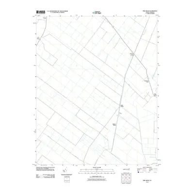 2010 Pike Road2010 Print · USGSThe Beaufort County lowlands appear in the early 21st century as a landscape defined by its historic rail corridors and drainage networks. Researchers can trace the agricultural heart of the region through sites like Wenona, Morrisons Store, and Sixth Siding.
 - 2010 Map of Westover, 2010 Print
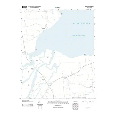 2010 Westover2010 Print · USGSCoastal North Carolina at the opening of the decade reveals a landscape defined by the expansive Albemarle Sound and the winding Roanoke River. Genealogists and local historians can trace the rural communities of Westover and Macedonia or locate heritage sites like Saint Luke Cemetery.
 - 2010 Map of Hoke, 2010 Print
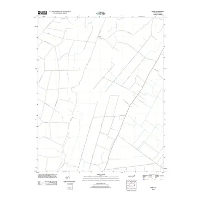 2010 Hoke2010 Print · USGSCoastal plain agriculture and swamp lands define this Washington County landscape as it appeared in the early twenty-first century. Researchers can trace rural lineages through local landmarks like Beachgrove, Angetown Rd, and the old logging route of Morris Tram Rd.
 - 2010 Map of Plymouth West, 2010 Print
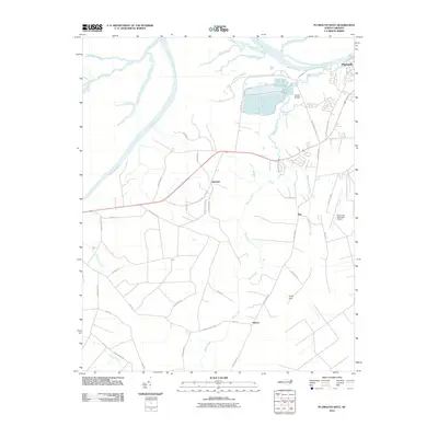 2010 Plymouth West2010 Print · USGSWashington County at the start of the decade shows a landscape shaped by the Roanoke River and the industrial corridors near Plymouth. Genealogists and local historians can trace family-named routes and small communities like Dardens, Ren, and Hinson among the expansive reaches of Cooper Swamp.
 - 2010 Map of Creswell SE, 2010 Print
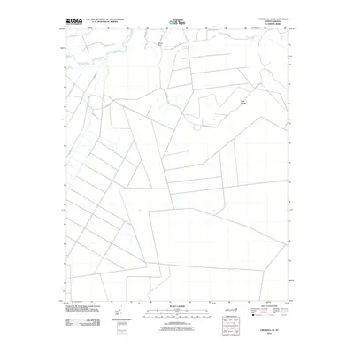 2010 Creswell SE2010 Print · USGSCoastal Tyrrell County was characterized by vast agricultural improvements and winding waterways at the start of the 2010s. Genealogists and researchers can trace the roads around Ballast Bank or follow the Old Canal near the Scuppernong River.
 - 2010 Map of Pungo Lake, 2010 Print
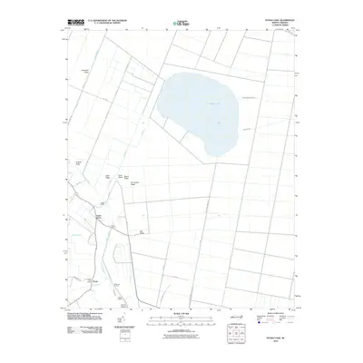 2010 Pungo Lake2010 Print · USGSThe rural landscape of eastern North Carolina is shown here just after the first decade of the new millennium. Researchers can trace the legacy of swamp drainage and settlement through local landmarks like Pungo Post Office, Union Grove, and the numerous ridges including Brights Ridge.
 - 2010 Map of Leonards Point, 2010 Print
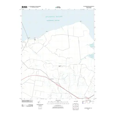 2010 Leonards Point2010 Print · USGSCoastal Washington County is seen here at the start of the 2010s, where the low-lying banks of the Albemarle Sound meet rural inland crossroads. Genealogists can trace family locations and local landings like Davenport Forks, Newberry Landing, and Pea Ridge.
 - 2010 Map of Roper South, 2010 Print
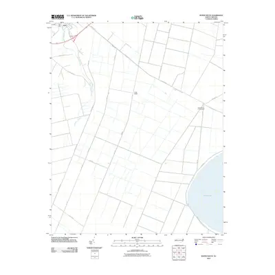 2010 Roper South2010 Print · USGSCoastal plain wetlands and timber country come into focus in this 2010 survey of the North Carolina interior. Researchers can trace the drainage of Phelps Lake and the industrial footprint of S Lees Saw Mills or the First Colony Farms Airport.
 - 2010 Map of Columbia West, 2010 Print
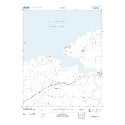 2010 Columbia West2010 Print · USGSCoastal Tyrrell County is captured here in the early twenty-first century as it borders the wide Albemarle Sound. Genealogists and local historians can trace family roots through riverside locations like River Neck and the Azalia Garden Cemetery.
 - 2010 Map of New Lake NW, 2010 Print
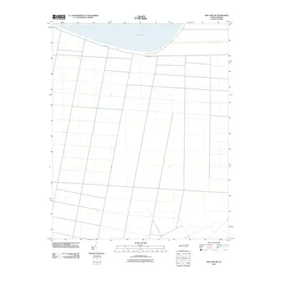 2010 New Lake NW2010 Print · USGSCoastal plain fields and drainage networks south of the water characterize this area at the start of the decade. Genealogists and local researchers can trace family land boundaries along Shore Dr and the southern access via N.C. 1348 near Phelps Lake.
 - 2010 Map of Creswell, 2010 Print
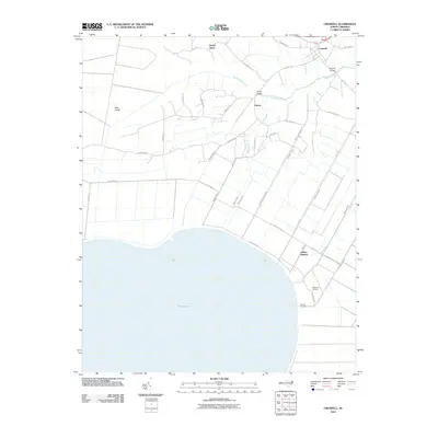 2010 Creswell2010 Print · USGSCoastal North Carolina's lowlands meet a complex grid of 21st-century irrigation and drainage canals north of Phelps Lake. Genealogists and local historians can trace family roots through the Pettigrew Cemetery, visit the Galilee Mission, and locate the old crossing at Spruills Bridge.
 - 2010 Map of Plymouth East, 2010 Print
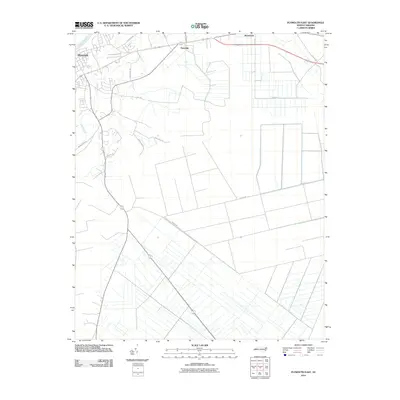 2010 Plymouth East2010 Print · USGSThe Roanoke River lowlands and the managed wetlands east of Plymouth are captured here during the first decade of the millennium. Researchers can trace the agricultural drainage patterns and family-named routes like Roxie Reese Rd, Craddock Rd, and the community of Pineridge.
 - 2010 Map of Roper North, 2010 Print
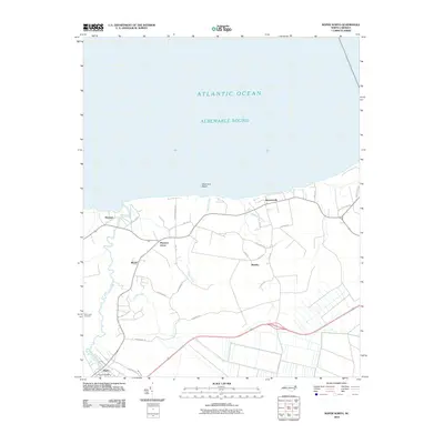 2010 Roper North2010 Print · USGSThe southern shores of the Albemarle Sound come into focus during the early twenty-first century. Researchers can trace the layout of coastal settlements like Skinnersville and Mackeys, or locate Saint Luke Cemetery and S Lees Saw Mills.
 - 2010 Map of Yeopim River, 2010 Print
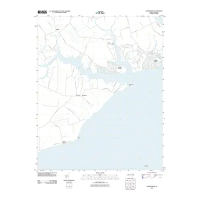 2010 Yeopim River2010 Print · USGSThe Yeopim River waterfront in the early twenty-first century shows a blend of established settlements and newer residential enclaves. Researchers can trace land tracts near Philips Cemetery, locate old maritime markers like Laurel Point Light House, and explore the developed shorelines of Snug Harbor.
 - 2013 Map of Plymouth West, 2013 Print
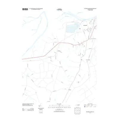 2013 Plymouth West2013 Print · USGSCoastal plain settlements and riverine wetlands near the Roanoke River are captured here in the early twenty-first century. Researchers can trace local landmarks like Wards Bridge, the small community of Dardens, and the rural expanse of Lanier Swamp.
 - 2013 Map of Hoke, 2013 Print
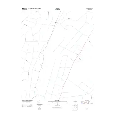 2013 Hoke2013 Print · USGSCoastal plain settlements and lowland drainage systems define this part of Washington County in the early 2010s. Trace the reach of Acre Swamp and the routes of old logging corridors like Morris Tram Rd and Long Ridge Rd.
 - 2013 Map of Yeopim River, 2013 Print
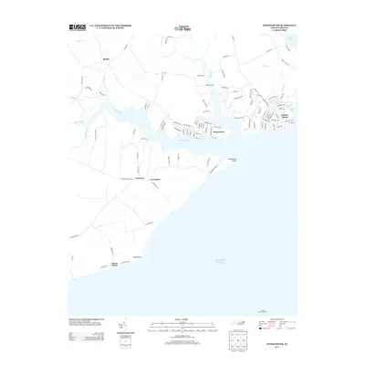 2013 Yeopim River2013 Print · USGSThe Yeopim River shoreline comes into focus in this early twenty-first-century survey of the North Carolina coast. Genealogists and historians can trace coastal settlements like Snug Harbor, identify maritime landmarks such as the Laurel Point Light House, and locate family land near Somerset.
 - 2013 Map of Roper South, 2013 Print
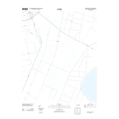 2013 Roper South2013 Print · USGSCoastal plain drainage and historic transport routes define the Roper area in the early twenty-first century. Genealogists and historians can trace the grid of Main Canal and Canal B, find family landmarks along Gourd Neck Rd, or locate the path of the former Railroad Bed Rd.
 - 2013 Map of Creswell SE, 2013 Print
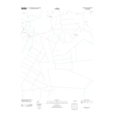 2013 Creswell SE2013 Print · USGSCoastal Tyrrell County in the early twenty-first century reveals a landscape shaped by massive drainage projects. Researchers can trace the geometric layout of the Thirty-Foot Canal and Old Canal near settlements like New Lands.
 - 2013 Map of Leonards Point, 2013 Print
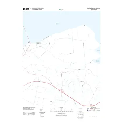 2013 Leonards Point2013 Print · USGSCoastal Washington County is documented here in the early twenty-first century, showing the intersection of maritime landings and rural crossroads. Genealogists and local historians can trace family-named routes and small communities like Davenport Forks, Pea Ridge, and Scuppernong.
 - 2013 Map of Pike Road, 2013 Print
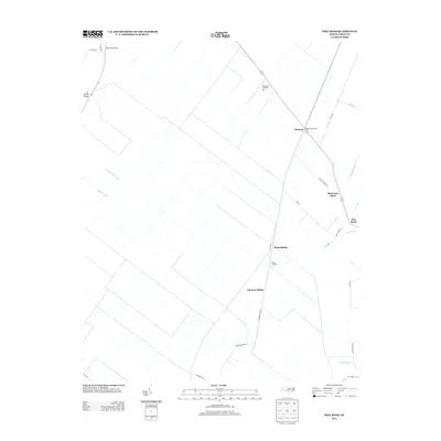 2013 Pike Road2013 Print · USGSCoastal North Carolina's rural landscape is defined by its drainage history in this early 21st-century survey of Beaufort County. Genealogists and local historians can trace former rail activity at Sixth Siding, Sixteen Mile Siding, and the namesake community of Pike Road.
 - 2013 Map of Westover, 2013 Print
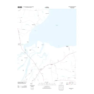 2013 Westover2013 Print · USGSCoastal North Carolina's riverine landscape is captured here in the early twenty-first century, showing the meeting of the Roanoke and the Atlantic. Genealogists and local historians can trace family-named sites like Buncombe Hall, Peterson, and Cashoke Landing.
 - 2013 Map of Columbia West, 2013 Print
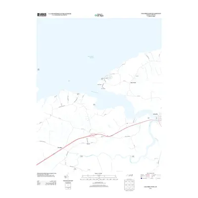 2013 Columbia West2013 Print · USGSThe coastal lowlands and river landings of Tyrrell County are captured in detail during the early twenty-first century. Genealogists and local historians can trace family land and old water access points like River Neck Landing, Dunbars Landing, and the community of Travis.
 - 2013 Map of Plymouth East, 2013 Print
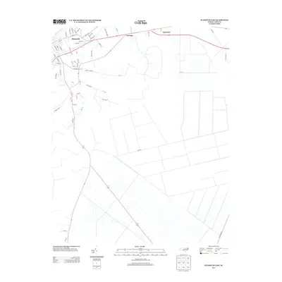 2013 Plymouth East2013 Print · USGSThe riverfront town of Plymouth and its surrounding coastal lowlands are documented here in the early twenty-first century. Genealogists and local historians can trace the development of the riverfront, from the Roanoke River banks to rural roads like Roxie Reese Rd.
Showing maps 1-25 of 71
Top cities of Washington County
Frequently asked questions
- What are the different types of historical maps available for Washington County?
- What is the oldest map of Washington County?
- Where can I purchase historical maps of Washington County for my home or office?
- Where can I download high-res historical maps of Washington County?
- Are there historical topographic maps available for Washington County?
- Is there historical aerial imagery available for Washington County?
- Where are historical maps of Washington County sourced from?