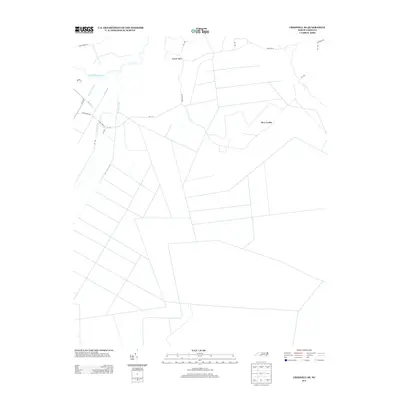
2013 Map of Creswell SE
USGS Topo · Published 2013About this map
New Lands and Ballast Bank anchor this map of the low-lying coastal plains in Tyrrell County. The landscape is defined by an extensive and orderly network of drainage infrastructure designed to manage the wetlands, featuring the Thirty-Foot Canal, Old Canal, and Bonarva Canal. These waterways cut straight lines across the territory, illustrating the intensive reclamation of the Albemarle-Pamlico peninsula for agricultural and industrial use. Near the top of the sheet, the Scuppernong River meanders naturally, providing a sharp contrast to the geometric precision of the Bee Tree Canal and the grid of rural routes like Tom Pepper Rd and Saint David Rd. The sparse placement of structures suggests a region dominated by large-scale land management and timber or farming operations rather than dense residential settlement.
Find a feature on this map
24 named features on this map. Tap any name to fly to it.
Don’t see what you’re looking for? This feature index may not catch every label — zoom into the map to look around manually.
Map Details
Editions of this 2013 Creswell SE Map
This is the sole edition of this map. No revisions or reprints were ever made.
Other maps of this area

1943 · Columbia
USGS Topo · 1:125,000

1953 · Columbia East
USGS Topo · 1:24,000

1953 · Scotia
USGS Topo · 1:24,000

1953 · Columbia West
USGS Topo · 1:24,000

1953 · Fairfield NW
USGS Topo · 1:24,000

1953 · Rocky Mount
USGS Topo · 1:250,000

1954 · Rocky Mount
USGS Topo · 1:250,000
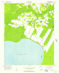
1954 · Creswell
USGS Topo · 1:24,000
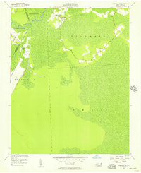
1954 · Creswell SE
USGS Topo · 1:24,000
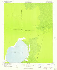
1954 · New Lake
USGS Topo · 1:24,000