Old Maps of Plymouth, North Carolina for Academic Research
Study the evolution of Plymouth with 24 high-resolution historic maps. Whether you're teaching, researching, or modeling changes in land use, these maps provide essential visual documentation of urban, environmental, and geographic change.
- Analyze long-term change: Track patterns in development, transportation, and natural features.
- Ideal for environmental or urban studies: Support academic projects with primary historical map data.
- Use in the classroom or lab: Educators and researchers rely on these maps to bring historical context to life.
These maps are a powerful tool for teaching, research, and visualizing how Plymouth has changed over the decades.
Plymouth, NC maps
(24)- 1943 Map of Plymouth
 1943 Plymouth1943 Print · USGSThe coastal plains and swamps of eastern North Carolina are captured here during the wartime era, showing a landscape defined by river navigation and drainage canals. Genealogists can trace family roots through rural landmarks like Ellis Store, St Lukes Ch, and small rail stops such as Acre Sta.
 - 1953 Map of Rocky Mount, 1964 Print
 1953 Rocky Mount1964 Print · USGSEastern North Carolina in the mid-fifties is defined by its deep river basins and the vast wetlands of the Tidewater. Genealogists can trace family roots through hubs like Kinston and New Bern or explore the wilderness of Pettigrew State Park and Lake Mattamuskeet.4 unique versions available
 - 1954 Map of Rocky Mount
 1954 Rocky Mount1954 Print · USGSEastern North Carolina is mapped in the mid-fifties, showing a landscape of sounds, swamps, and steam-era rail lines. Genealogists can trace the rural road networks and rail spurs connecting towns like Tarboro, Greenville, and the remote Columbia.
 - 1954 Map of Plymouth East, 1957 Print
 1954 Plymouth East1957 Print · USGSCoastal plain life in the mid-fifties centered on the rail hub of Plymouth and the surrounding marshlands. Genealogists can locate family landmarks like Lily Valley Ch or trace the historic path of the Old Turnpike through the Dismal Swamp.3 unique versions available
 - 1954 Map of Westover, 1957 Print
 1954 Westover1957 Print · USGSThe Roanoke River delta meets the Albemarle Sound in the mid-1950s, showing a landscape defined by tidewater agriculture and rail transport. Genealogists can locate family landmarks such as Saints Delight Ch, Zion Chapel, and the community of Westover.2 unique versions available
 - 1979 Map of Plymouth West
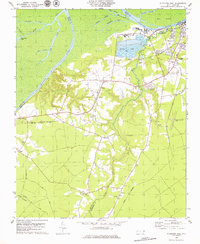 1979 Plymouth West1979 Print · USGSThe Roanoke River lowlands and the industrial outskirts of Plymouth come into focus during the mid-1970s. Trace local history through the many rural churches and rail lines like Union Town Ch, Wares Chapel, and the Seaboard Coast Line.2 unique versions available
 - 1985 Map of Plymouth
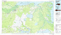 1985 Plymouth1985 Print · USGSThe coastal plains of Washington and Beaufort counties come into focus in the mid-eighties as a region defined by large-scale conservation and water-bound trade. Researchers can trace the layout of small farming towns like Pantego and Creswell alongside the vast waters of Phelps Lake and Lake Mattamuskeet.2 unique versions available
 - 1998 Map of Plymouth East, 2001 Print
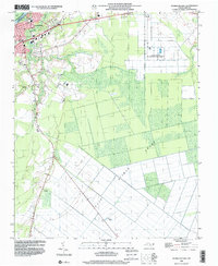 1998 Plymouth East2001 Print · USGSCoastal North Carolina near the end of the century reveals a landscape defined by the Roanoke River and the edges of the East Dismal Swamp. Genealogists can trace local landmarks like Lily Valley Ch, Union Chapel, and the Tide Water Experimental Station.
 - 1998 Map of Plymouth West, 2001 Print
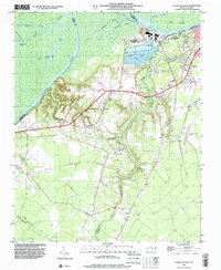 1998 Plymouth West2001 Print · USGSMartin County in the late 1990s is captured here at the intersection of river-driven industry and deep rural heritage. Researchers can trace the layout of Plymouth and locate rural landmarks such as Poplar Chapel, Corinth Ch, and the small settlement of Dardens.
 - 2010 Map of Westover, 2010 Print
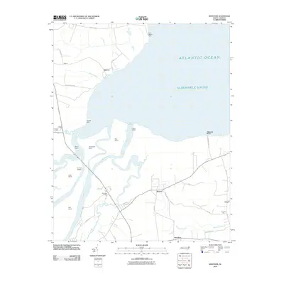 2010 Westover2010 Print · USGSCoastal North Carolina at the opening of the decade reveals a landscape defined by the expansive Albemarle Sound and the winding Roanoke River. Genealogists and local historians can trace the rural communities of Westover and Macedonia or locate heritage sites like Saint Luke Cemetery.
 - 2010 Map of Plymouth West, 2010 Print
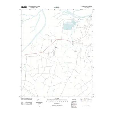 2010 Plymouth West2010 Print · USGSWashington County at the start of the decade shows a landscape shaped by the Roanoke River and the industrial corridors near Plymouth. Genealogists and local historians can trace family-named routes and small communities like Dardens, Ren, and Hinson among the expansive reaches of Cooper Swamp.
 - 2010 Map of Plymouth East, 2010 Print
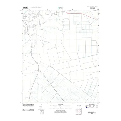 2010 Plymouth East2010 Print · USGSThe Roanoke River lowlands and the managed wetlands east of Plymouth are captured here during the first decade of the millennium. Researchers can trace the agricultural drainage patterns and family-named routes like Roxie Reese Rd, Craddock Rd, and the community of Pineridge.
 - 2013 Map of Plymouth West, 2013 Print
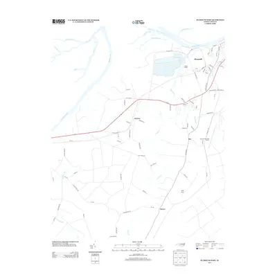 2013 Plymouth West2013 Print · USGSCoastal plain settlements and riverine wetlands near the Roanoke River are captured here in the early twenty-first century. Researchers can trace local landmarks like Wards Bridge, the small community of Dardens, and the rural expanse of Lanier Swamp.
 - 2013 Map of Westover, 2013 Print
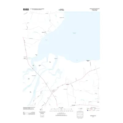 2013 Westover2013 Print · USGSCoastal North Carolina's riverine landscape is captured here in the early twenty-first century, showing the meeting of the Roanoke and the Atlantic. Genealogists and local historians can trace family-named sites like Buncombe Hall, Peterson, and Cashoke Landing.
 - 2013 Map of Plymouth East, 2013 Print
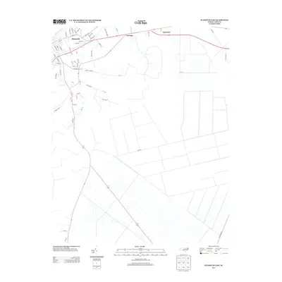 2013 Plymouth East2013 Print · USGSThe riverfront town of Plymouth and its surrounding coastal lowlands are documented here in the early twenty-first century. Genealogists and local historians can trace the development of the riverfront, from the Roanoke River banks to rural roads like Roxie Reese Rd.
 - 2016 Map of Plymouth West, 2016 Print
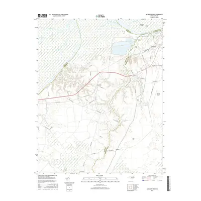 2016 Plymouth West2016 Print · USGSCoastal plain settlements and the winding Roanoke River define this portion of eastern North Carolina in the mid-2010s. Genealogists and local historians can trace family-named roads and rural communities like Ren, Dardens, and Hinson.
 - 2016 Map of Westover, 2016 Print
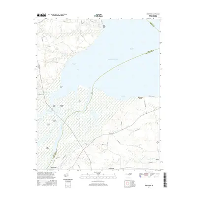 2016 Westover2016 Print · USGSThe Roanoke River delta meets the Albemarle Sound in this recent survey of the North Carolina tidewater. Researchers can trace rural cemeteries and local landmarks like Saint Luke Cem, Westover, and the waterways of Conaby Creek.
 - 2016 Map of Plymouth East, 2016 Print
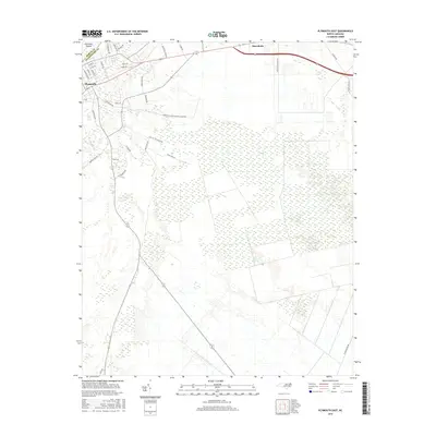 2016 Plymouth East2016 Print · USGSCoastal North Carolina's transition from the streets of Plymouth to the depths of the swamp is captured here in the mid-2010s. Genealogists and historians can trace family-named routes like White Oak Rd and the remnants of past transit along Railroad Bed Rd.
 - 2019 Map of Westover, 2019 Print
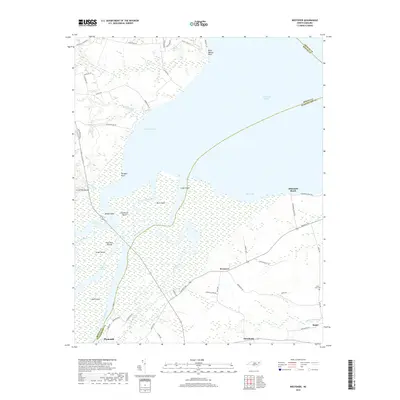 2019 Westover2019 Print · USGSThe Roanoke River delta meets the Albemarle Sound in this recent survey of Washington and Bertie Counties. Local researchers can trace the roads connecting Plymouth and Roper, or locate rural landmarks like Saint Luke Cem and Westover.
 - 2019 Map of Plymouth East, 2019 Print
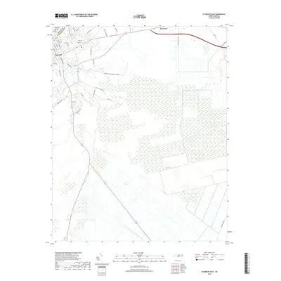 2019 Plymouth East2019 Print · USGSPlymouth and the fringes of the great wetlands are captured here in the late twenty-teens. Researchers can trace the development of the town grid near Conaby Cr or locate family-named routes like Roxie Reese Rd and Garretts Island Garrett Island Rd.
 - 2019 Map of Plymouth West, 2019 Print
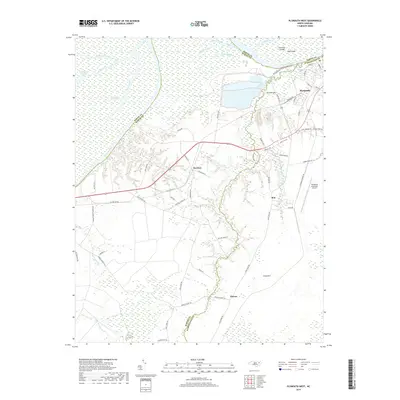 2019 Plymouth West2019 Print · USGSCoastal North Carolina riverlands and rural communities are documented here in 2019 as they were in recent years. Researchers can trace family names and local geography through Plymouth, Dardens, and Hinson or follow the waters of the Roanoke River.
 - 2022 Map of Plymouth East, 2022 Print
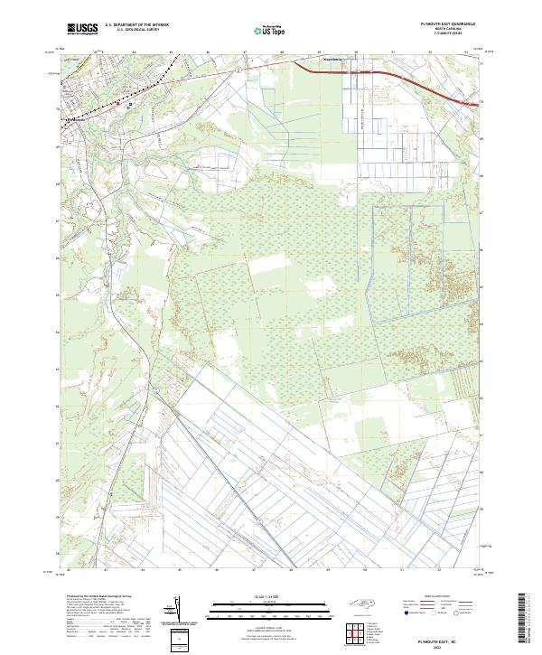 2022 Plymouth East2022 Print · USGSCoastal plain settlements near the Bertie and Washington county line are documented here in recent detail. Genealogists and local historians can trace family locations along Mackeys Rd, near the Washington County Courthouse, and out toward Macedonia.
 - 2022 Map of Plymouth West, 2022 Print
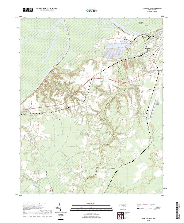 2022 Plymouth West2022 Print · USGSCoastal North Carolina lowlands meet industrial riverfronts in the early 2020s as the Roanoke River passes western Plymouth. Genealogists and local historians can trace the rural reaches of Dardens, Long Acre, and Hinson alongside Lanier Swamp.
 - 2022 Map of Westover, 2022 Print
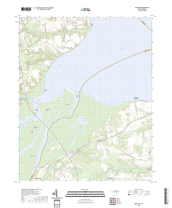 2022 Westover2022 Print · USGSThe confluence of the Roanoke and Cashie Rivers meets the Albemarle Sound in this modern coastal survey of Washington County. Local researchers can trace the roads connecting Westover and Roper, or locate landmarks like Saint Luke Cem and Louse Island.
End of results
Showing maps 1-24 of 24
Top cities near Plymouth
Top neighborhoods of Plymouth
Frequently asked questions
- What are the different types of historical maps available for Plymouth?
- What is the oldest map of Plymouth?
- Where can I purchase historical maps of Plymouth for my home or office?
- Where can I download high-res historical maps of Plymouth?
- Are there historical topographic maps available for Plymouth?
- Is there historical aerial imagery available for Plymouth?
- Where are historical maps of Plymouth sourced from?