Old Maps of Plymouth, North Carolina for Metal Detecting
Plan your next treasure hunt with 24 historic maps of Plymouth. Find old homesites, ghost towns, trails, and gathering spots that may be lost to time — perfect for identifying promising metal detecting locations.
- Locate forgotten sites: Uncover places like long-lost settlements, abandoned rail lines, or gathering spots.
- Plan better hunts: Use map overlays combined with LiDAR or satellite views to narrow in on historically rich areas.
- Made for detectorists: Thousands of hobbyists use these maps to discover relics, coins, and hidden history.
Use these historic maps to boost your research and find new opportunities beneath the surface of Plymouth.
Plymouth, NC maps
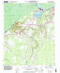
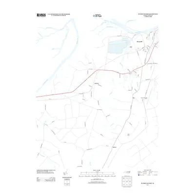
(24)- 1943 Map of Plymouth
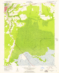
 1943 Plymouth1943 Print · USGSThe coastal plains and swamps of eastern North Carolina are captured here during the wartime era, showing a landscape defined by river navigation and drainage canals. Genealogists can trace family roots through rural landmarks like Ellis Store, St Lukes Ch, and small rail stops such as Acre Sta.
 - 1953 Map of Rocky Mount, 1964 Print
 1953 Rocky Mount1964 Print · USGSEastern North Carolina in the mid-fifties is defined by its deep river basins and the vast wetlands of the Tidewater. Genealogists can trace family roots through hubs like Kinston and New Bern or explore the wilderness of Pettigrew State Park and Lake Mattamuskeet.4 unique versions available
 - 1954 Map of Rocky Mount
 1954 Rocky Mount1954 Print · USGSEastern North Carolina is mapped in the mid-fifties, showing a landscape of sounds, swamps, and steam-era rail lines. Genealogists can trace the rural road networks and rail spurs connecting towns like Tarboro, Greenville, and the remote Columbia.
 - 1954 Map of Plymouth East, 1957 Print
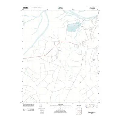
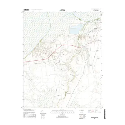
 1954 Plymouth East1957 Print · USGSCoastal plain life in the mid-fifties centered on the rail hub of Plymouth and the surrounding marshlands. Genealogists can locate family landmarks like Lily Valley Ch or trace the historic path of the Old Turnpike through the Dismal Swamp.3 unique versions available
 - 1954 Map of Westover, 1957 Print
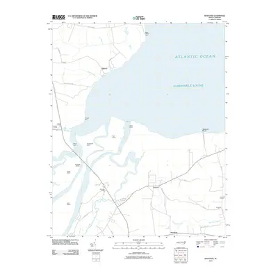
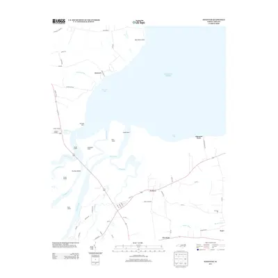
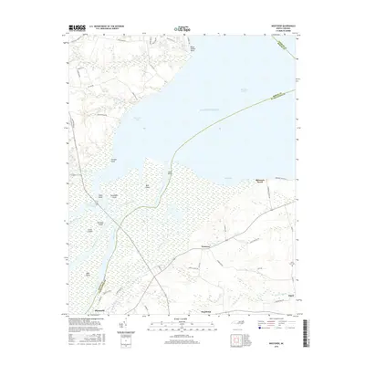
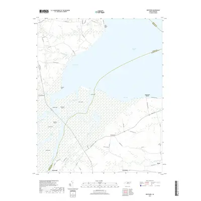
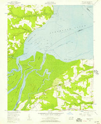 1954 Westover1957 Print · USGSThe Roanoke River delta meets the Albemarle Sound in the mid-1950s, showing a landscape defined by tidewater agriculture and rail transport. Genealogists can locate family landmarks such as Saints Delight Ch, Zion Chapel, and the community of Westover.2 unique versions available
 - 1979 Map of Plymouth West
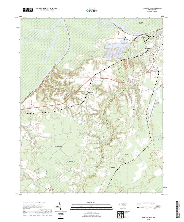
 1979 Plymouth West1979 Print · USGSThe Roanoke River lowlands and the industrial outskirts of Plymouth come into focus during the mid-1970s. Trace local history through the many rural churches and rail lines like Union Town Ch, Wares Chapel, and the Seaboard Coast Line.2 unique versions available
 - 1985 Map of Plymouth
 1985 Plymouth1985 Print · USGSThe coastal plains of Washington and Beaufort counties come into focus in the mid-eighties as a region defined by large-scale conservation and water-bound trade. Researchers can trace the layout of small farming towns like Pantego and Creswell alongside the vast waters of Phelps Lake and Lake Mattamuskeet.2 unique versions available
 - 1998 Map of Plymouth East, 2001 Print
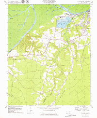
 1998 Plymouth East2001 Print · USGSCoastal North Carolina near the end of the century reveals a landscape defined by the Roanoke River and the edges of the East Dismal Swamp. Genealogists can trace local landmarks like Lily Valley Ch, Union Chapel, and the Tide Water Experimental Station.
 - 1998 Map of Plymouth West, 2001 Print
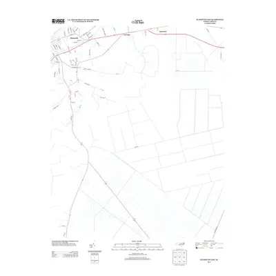
 1998 Plymouth West2001 Print · USGSMartin County in the late 1990s is captured here at the intersection of river-driven industry and deep rural heritage. Researchers can trace the layout of Plymouth and locate rural landmarks such as Poplar Chapel, Corinth Ch, and the small settlement of Dardens.
 - 2010 Map of Westover, 2010 Print
 2010 Westover2010 Print · USGSCovers Plymouth, including Roper, Elmwood, and other nearby areas
 - 2010 Map of Plymouth West, 2010 Print
 2010 Plymouth West2010 Print · USGSCovers Plymouth, including Dardens, Hinson, and other nearby areas
 - 2010 Map of Plymouth East, 2010 Print
 2010 Plymouth East2010 Print · USGSCovers Plymouth, including Pineridge, Bertie County, and other nearby areas
 - 2013 Map of Plymouth West, 2013 Print
 2013 Plymouth West2013 Print · USGSCovers Plymouth, including Dardens, Hinson, and other nearby areas
 - 2013 Map of Westover, 2013 Print
 2013 Westover2013 Print · USGSCovers Plymouth, including Roper, Elmwood, and other nearby areas
 - 2013 Map of Plymouth East, 2013 Print
 2013 Plymouth East2013 Print · USGSCovers Plymouth, including Pineridge, Bertie County, and other nearby areas
 - 2016 Map of Plymouth West, 2016 Print
 2016 Plymouth West2016 Print · USGSCovers Plymouth, including Dardens, Hinson, and other nearby areas
 - 2016 Map of Westover, 2016 Print
 2016 Westover2016 Print · USGSCovers Plymouth, including Roper, Elmwood, and other nearby areas
 - 2016 Map of Plymouth East, 2016 Print
 2016 Plymouth East2016 Print · USGSCovers Plymouth, including Pineridge, Bertie County, and other nearby areas
 - 2019 Map of Westover, 2019 Print
 2019 Westover2019 Print · USGSCovers Plymouth, including Roper, Elmwood, and other nearby areas
 - 2019 Map of Plymouth East, 2019 Print
 2019 Plymouth East2019 Print · USGSCovers Plymouth, including Pineridge, Bertie County, and other nearby areas
 - 2019 Map of Plymouth West, 2019 Print
 2019 Plymouth West2019 Print · USGSCovers Plymouth, including Dardens, Hinson, and other nearby areas
 - 2022 Map of Plymouth East, 2022 Print
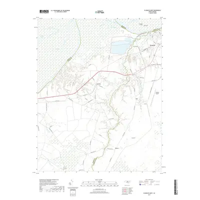
 2022 Plymouth East2022 Print · USGSCoastal plain settlements near the Bertie and Washington county line are documented here in recent detail. Genealogists and local historians can trace family locations along Mackeys Rd, near the Washington County Courthouse, and out toward Macedonia.
 - 2022 Map of Plymouth West, 2022 Print
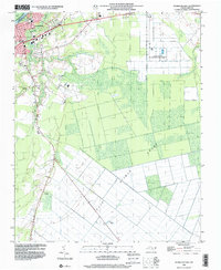
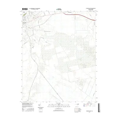
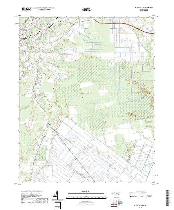
 2022 Plymouth West2022 Print · USGSCoastal North Carolina lowlands meet industrial riverfronts in the early 2020s as the Roanoke River passes western Plymouth. Genealogists and local historians can trace the rural reaches of Dardens, Long Acre, and Hinson alongside Lanier Swamp.
 - 2022 Map of Westover, 2022 Print
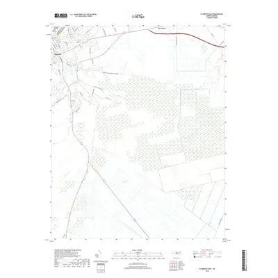
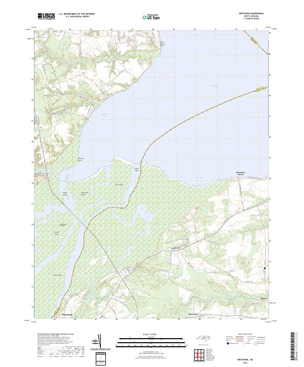 2022 Westover2022 Print · USGSThe confluence of the Roanoke and Cashie Rivers meets the Albemarle Sound in this modern coastal survey of Washington County. Local researchers can trace the roads connecting Westover and Roper, or locate landmarks like Saint Luke Cem and Louse Island.
End of results
Showing maps 1-24 of 24
Top cities near Plymouth
Top neighborhoods of Plymouth
Frequently asked questions
- What are the different types of historical maps available for Plymouth?
- What is the oldest map of Plymouth?
- Where can I purchase historical maps of Plymouth for my home or office?
- Where can I download high-res historical maps of Plymouth?
- Are there historical topographic maps available for Plymouth?
- Is there historical aerial imagery available for Plymouth?
- Where are historical maps of Plymouth sourced from?