Old Maps of Peacock Crossroads, North Carolina for Academic Research
Study the evolution of Peacock Crossroads with 10 high-resolution historic maps. Whether you're teaching, researching, or modeling changes in land use, these maps provide essential visual documentation of urban, environmental, and geographic change.
- Analyze long-term change: Track patterns in development, transportation, and natural features.
- Ideal for environmental or urban studies: Support academic projects with primary historical map data.
- Use in the classroom or lab: Educators and researchers rely on these maps to bring historical context to life.
These maps are a powerful tool for teaching, research, and visualizing how Peacock Crossroads has changed over the decades.
Peacock Crossroads, NC maps
(10)- 1953 Map of Raleigh, 1965 Print
 1953 Raleigh1965 Print · USGSCentral North Carolina in the early sixties shows a landscape of growing towns and military hubs before the full expansion of the interstate system. Genealogists can trace family footprints across the Piedmont through Wake Forest, Siler City, and the large Fort Bragg Military Reservation.4 unique versions available
 - 1954 Map of Raleigh
 1954 Raleigh1954 Print · USGSThe North Carolina Piedmont and Sandhills are captured in the mid-fifties during a period of steady regional growth. Genealogists and historians can trace the development of towns like Siler City or locate landmarks such as Falls of Neuse and Camp Mackall.
 - 1974 Map of Northwest Goldsboro, 1976 Print
 1974 Northwest Goldsboro1976 Print · USGSWayne County just west of Goldsboro in the mid-1970s reveals a landscape of expanding institutional campuses and rural crossroads. Local historians can trace the grounds of CHERRY HOSPITAL, the community at Rosewood, and family landmarks like Spring Hill Ch.2 unique versions available
 - 1986 Map of Fayetteville
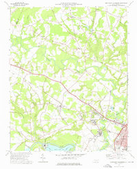
 1986 Fayetteville1986 Print · USGSThe North Carolina coastal plain appears in the mid-1980s as a bustling corridor of military installations and historic tobacco towns. Genealogists and historians can trace the footprints of Fort Bragg Military Reservation, Campbell University, and the rail lines of the Seaboard Coast Line RR.2 unique versions available
 - 1998 Map of Northwest Goldsboro, 2001 Print
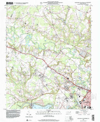 1998 Northwest Goldsboro2001 Print · USGSWayne County at the close of the century shows a landscape where the Little River meets the Neuse River west of Goldsboro. Researchers can trace historic local institutions and rural community centers like Cherry Hospital, Rosewood, and Spring Hill Ch.
 - 2010 Map of Northwest Goldsboro, 2010 Print
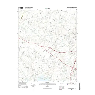
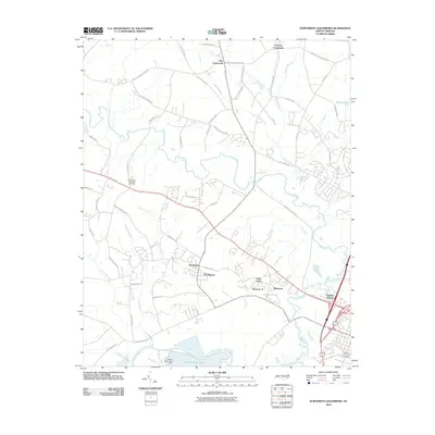 2010 Northwest Goldsboro2010 Print · USGSCovers Peacock Crossroads, including Goldsboro, Pike Crossroads, and other nearby areas
 - 2013 Map of Northwest Goldsboro, 2013 Print
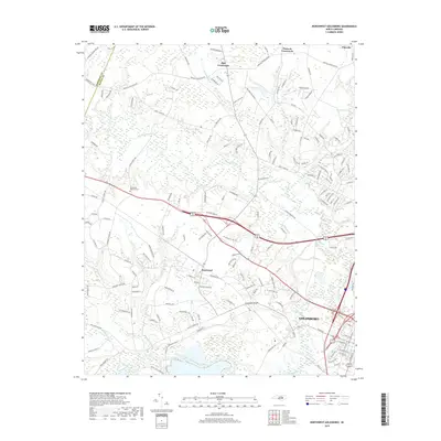
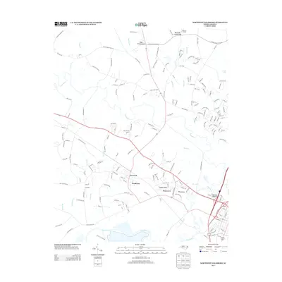 2013 Northwest Goldsboro2013 Print · USGSCovers Peacock Crossroads, including Goldsboro, Pike Crossroads, and other nearby areas
 - 2016 Map of Northwest Goldsboro, 2016 Print
 2016 Northwest Goldsboro2016 Print · USGSCovers Peacock Crossroads, including Goldsboro, Pike Crossroads, and other nearby areas
 - 2019 Map of Northwest Goldsboro, 2019 Print
 2019 Northwest Goldsboro2019 Print · USGSCovers Peacock Crossroads, including Goldsboro, Pike Crossroads, and other nearby areas
 - 2022 Map of Northwest Goldsboro, 2022 Print
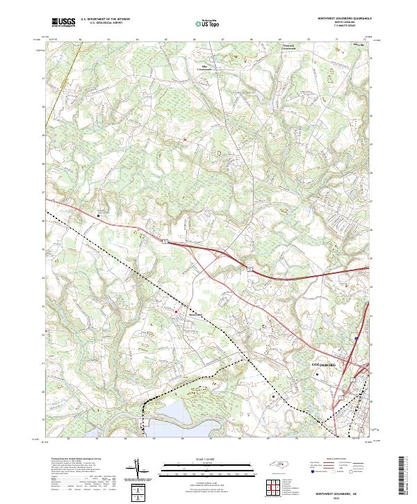 2022 Northwest Goldsboro2022 Print · USGSWestern Wayne County comes into focus in the early 2020s as modern residential growth meets its rural roots. Researchers can trace family sites near Evergreen Memorial Cem or follow the banks of the Little River and Neuse River.
End of results
Showing maps 1-10 of 10
Top cities near Peacock Crossroads
- Wilson historical maps
- Goldsboro historical maps
- Selma historical maps
- La Grange historical maps
- Pine Level historical maps
- Fremont historical maps
See more
Frequently asked questions
- What are the different types of historical maps available for Peacock Crossroads?
- What is the oldest map of Peacock Crossroads?
- Where can I purchase historical maps of Peacock Crossroads for my home or office?
- Where can I download high-res historical maps of Peacock Crossroads?
- Are there historical topographic maps available for Peacock Crossroads?
- Is there historical aerial imagery available for Peacock Crossroads?
- Where are historical maps of Peacock Crossroads sourced from?