2000s (21st Century) Maps of Wilkes County, North Carolina
Explore 121 historic maps of Wilkes County from the 2000s (21st Century). These maps offer a rare glimpse into what life looked like during the 2000s — showing old roads, neighborhoods, homes, and landmarks that have changed or disappeared over time.
Whether you're researching your family's past, planning a metal detecting trip, or studying how Wilkes County's landscape evolved across the 2000s, these high-resolution maps are a powerful tool for exploring the history of this region.
- Focus on a specific era: All maps on this page are from the 2000s, giving you a focused view of this time period.
- See what’s changed: Compare century-old streets, trails, and buildings to today's modern landscape using overlays and satellite layers.
- Research with precision: Use these maps for genealogy, historical research, land use analysis, or educational projects.
- View, download, or print: Maps are fully viewable online in high resolution, and can be downloaded or printed for your own records.
Start exploring Wilkes County's history through authentic maps from the 2000s. This is your window into the past.
Wilkes County, NC maps
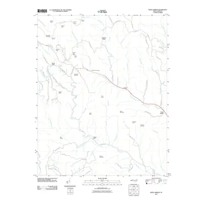
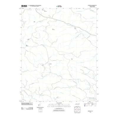
(121)- 2000 Map of Glendale Springs, 2001 Print
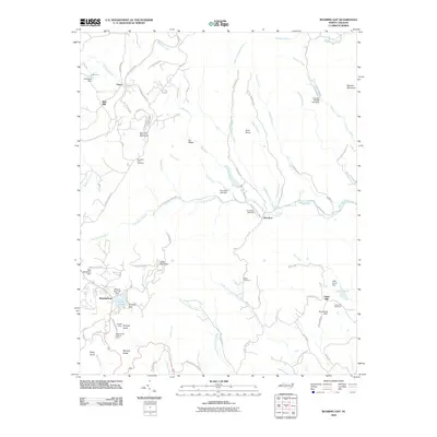
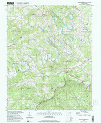 2000 Glendale Springs2001 Print · USGSAshe County high-country life is captured here at the turn of the millennium, showing a landscape defined by the South Fork New River and the high Blue Ridge crest. Genealogists and local historians can trace family roots through numerous mountain sanctuaries like Bethel Ch, Riverview Ch, and Old Field Ch.
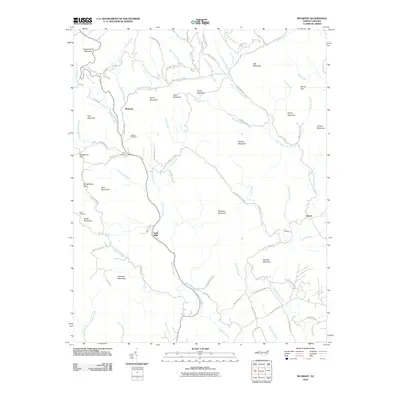
 - 2000 Map of Horse Gap, 2003 Print
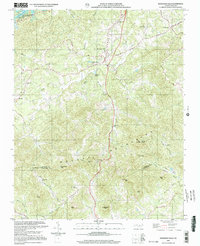
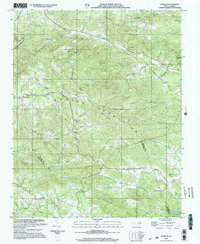
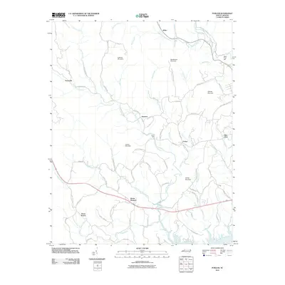
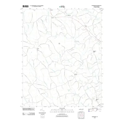
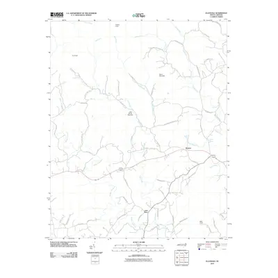
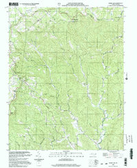 2000 Horse Gap2003 Print · USGSThis Wilkes County mountain landscape reflects a traditional Appalachian settlement pattern at the dawn of the new millennium. Researchers can locate numerous country congregations like Reddies River Ch and historic school sites such as Union Township Sch.
 - 2000 Map of Grandin, 2003 Print
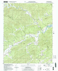 2000 Grandin2003 Print · USGSThe borderlands of Wilkes and Caldwell Counties come alive in this millennium-era survey of the Yadkin River valley. Genealogists and historians can trace family roots through sites like Fort Defiance, Maria Chapel, and several rural burial grounds like Sherrill Cem.
 - 2000 Map of Elkin North, 2003 Print
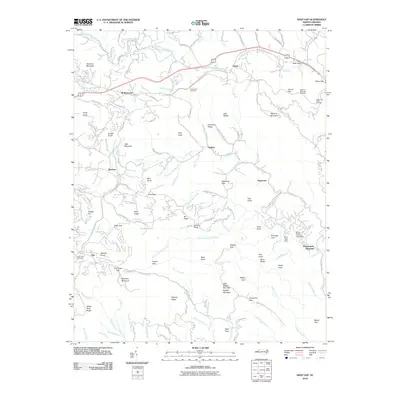
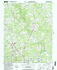 2000 Elkin North2003 Print · USGSSurry County at the turn of the millennium shows a landscape where mountain rivers meet the growing outskirts of Elkin. Researchers can trace rural lineages through numerous country landmarks like Snow Hill Ch, the community at Zephyr, and Crestwood Memorial Park.
 - 2000 Map of Moravian Falls, 2003 Print
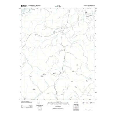
 2000 Moravian Falls2003 Print · USGSWilkes and Alexander Counties are captured at the opening of the millennium, showing a landscape defined by the ridgelines of the Brushy Mountains. Genealogists and local historians can trace rural homesteads and congregations like Mt Olive Ch and Boomer Ch, or locate high points like Pores Knob.
 - 2000 Map of Gilreath, 2003 Print
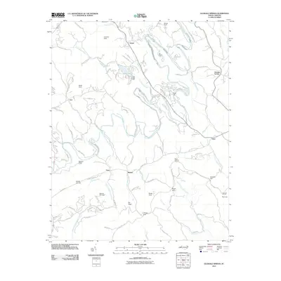
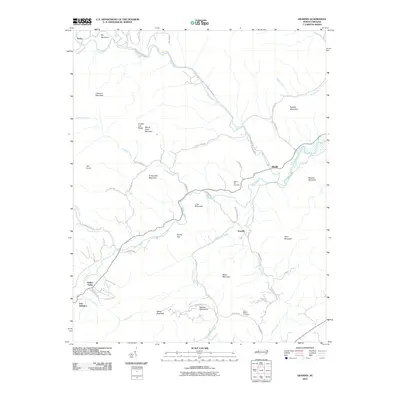
 2000 Gilreath2003 Print · USGSWilkes and Alexander counties are captured at the turn of the millennium, centered on the heights of the Brushy Mountains. Genealogists can trace family roots through numerous country sanctuaries like Old Bethany Ch and Hunting Creek Cem.
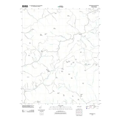
 - 2010 Map of Glade Valley, 2010 Print
 2010 Glade Valley2010 Print · USGSCovers Wilkes County, including Sparta, Cherry Lane, and other nearby areas
 - 2010 Map of Boomer, 2010 Print
 2010 Boomer2010 Print · USGSCovers Wilkes County, including Oakdale, Boomer, and other nearby areas
 - 2010 Map of Purlear, 2010 Print
 2010 Purlear2010 Print · USGSCovers Wilkes County, including Mount Pleasant, Staunton, and other nearby areas
 - 2010 Map of Deep Gap, 2010 Print
 2010 Deep Gap2010 Print · USGSCovers Wilkes County, including Boone, Hogetown, and other nearby areas
 - 2010 Map of Wilkesboro, 2010 Print
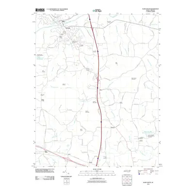
 2010 Wilkesboro2010 Print · USGSCovers Wilkes County, including North Wilkesboro, Wilkesboro, and other nearby areas
 - 2010 Map of Horse Gap, 2010 Print
 2010 Horse Gap2010 Print · USGSCovers Wilkes County, including Vannoy, Ashe County, and other nearby areas
 - 2010 Map of Maple Springs, 2010 Print
 2010 Maple Springs2010 Print · USGSCovers Wilkes County, including Harley, Maple Springs, and other nearby areas
 - 2010 Map of McGrady, 2010 Print
 2010 McGrady2010 Print · USGSCovers Wilkes County, including Halls Mills, McGrady, and other nearby areas
 - 2010 Map of Whitehead, 2010 Print
 2010 Whitehead2010 Print · USGSCovers Wilkes County, including Sparta, Whitehead, and other nearby areas
 - 2010 Map of Glendale Springs, 2010 Print
 2010 Glendale Springs2010 Print · USGSCovers Wilkes County, including West Jefferson, Idlewild, and other nearby areas
 - 2010 Map of Grandin, 2010 Print
 2010 Grandin2010 Print · USGSCovers Wilkes County, including Darby, Grandin, and other nearby areas
 - 2010 Map of Thurmond, 2010 Print
 2010 Thurmond2010 Print · USGSCovers Wilkes County, including Austin, Benham, and other nearby areas
 - 2010 Map of Gilreath, 2010 Print
 2010 Gilreath2010 Print · USGSCovers Wilkes County, including Gilreath, Old Gilreath, and other nearby areas
 - 2010 Map of Elkin South, 2010 Print
 2010 Elkin South2010 Print · USGSCovers Wilkes County, including Jonesville, Cycle, and other nearby areas
 - 2010 Map of Ellendale, 2010 Print
 2010 Ellendale2010 Print · USGSCovers Wilkes County, including Little River, Ellendale, and other nearby areas
 - 2010 Map of Roaring Gap, 2010 Print
 2010 Roaring Gap2010 Print · USGSCovers Wilkes County, including Rich Hill, Devotion, and other nearby areas
 - 2010 Map of Elkin North, 2010 Print
 2010 Elkin North2010 Print · USGSCovers Wilkes County, including Jonesville, Little Richmond, and other nearby areas
 - 2010 Map of Ronda, 2010 Print
 2010 Ronda2010 Print · USGSCovers Wilkes County, including Ronda, Clingman, and other nearby areas
 - 2010 Map of Moravian Falls, 2010 Print
 2010 Moravian Falls2010 Print · USGSCovers Wilkes County, including Wilkesboro, Fox Run, and other nearby areas
Showing maps 1-25 of 121
Top cities of Wilkes County
Frequently asked questions
- What are the different types of historical maps available for Wilkes County?
- What is the oldest map of Wilkes County?
- Where can I purchase historical maps of Wilkes County for my home or office?
- Where can I download high-res historical maps of Wilkes County?
- Are there historical topographic maps available for Wilkes County?
- Is there historical aerial imagery available for Wilkes County?
- Where are historical maps of Wilkes County sourced from?