2020s Maps of Wilkes County, North Carolina
Explore 23 historic maps of Wilkes County from the 2020s. These maps offer a rare glimpse into what life looked like during the 2020s — showing old roads, neighborhoods, homes, and landmarks that have changed or disappeared over time.
Whether you're researching your family's past, planning a metal detecting trip, or studying how Wilkes County's landscape evolved across the 2020s, these high-resolution maps are a powerful tool for exploring the history of this region.
- Focus on a specific era: All maps on this page are from the 2020s, giving you a focused view of this time period.
- See what’s changed: Compare century-old streets, trails, and buildings to today's modern landscape using overlays and satellite layers.
- Research with precision: Use these maps for genealogy, historical research, land use analysis, or educational projects.
- View, download, or print: Maps are fully viewable online in high resolution, and can be downloaded or printed for your own records.
Start exploring Wilkes County's history through authentic maps from the 2020s. This is your window into the past.
Wilkes County, NC maps
(23)- 2022 Map of Ellendale, 2022 Print
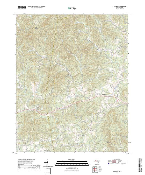 2022 Ellendale2022 Print · USGSAlexander County foothills are mapped here in the early 2020s, showing the rural community of Ellendale and its connection to the surrounding peaks. Researchers can trace family landmarks and mountain terrain through sites like the Land Cemetery, Hickory Knob, and Barrett Mtn.
 - 2022 Map of Purlear, 2022 Print
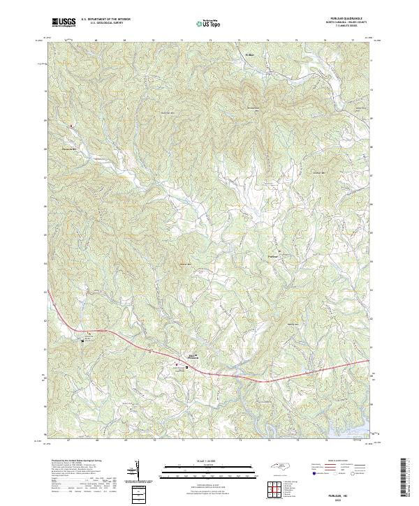 2022 Purlear2022 Print · USGSWilkes County upland life is captured here in the early twenty-first century, showing the mountain communities of Purlear and Wilbar. Researchers can locate family landmarks like Rendezvous Mtn or trace local history at the Mount Pleasant Baptist Church Cem.
 - 2022 Map of Glade Valley, 2022 Print
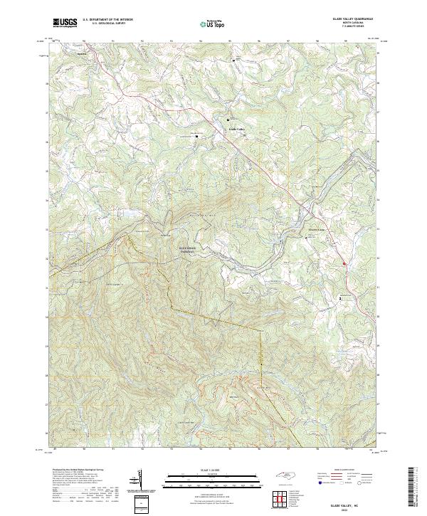 2022 Glade Valley2022 Print · USGSThe high ridges of the Blue Ridge Parkway corridor come into focus here, showing the rural communities of Alleghany and Wilkes counties. Researchers can trace family history at Macedonia Cemetery or explore local landmarks like Little Glade Millpond and Devils Garden.
 - 2022 Map of McGrady, 2022 Print
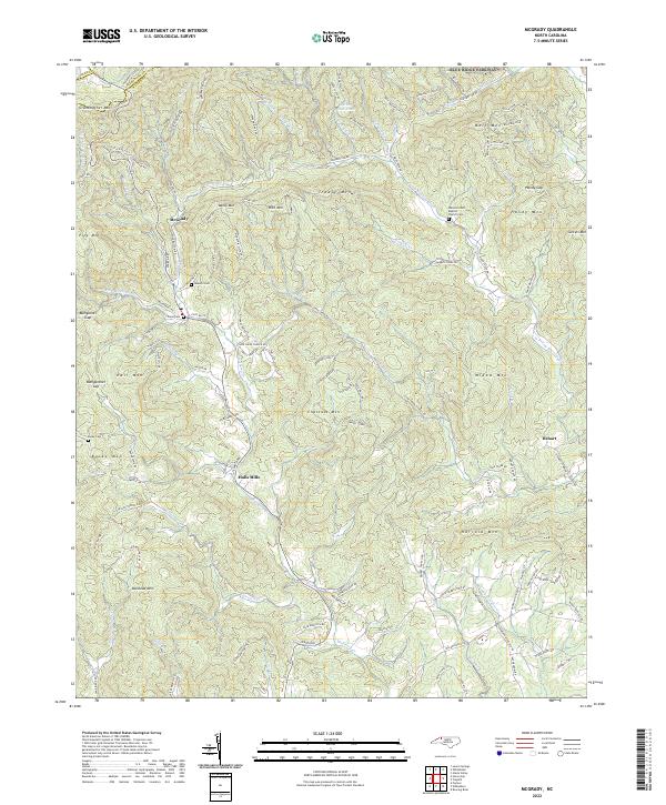 2022 McGrady2022 Print · USGSThe high country of Wilkes County is captured here in the early twenty-first century, showing the rugged headwaters of the Roaring River and Mulberry Creek. Genealogists can locate family burial sites like Taylor Cem and Burke Cem, or trace early mountain roads near McGrady and Halls Mills.
 - 2022 Map of Gilreath, 2022 Print
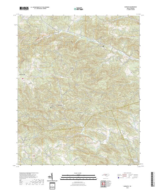 2022 Gilreath2022 Print · USGSThe Brushy Mountains of Wilkes County come into focus during this period, showing the rural landscape where three counties converge. Researchers can trace family history through sites like Old Bethany Cem and follow old local thoroughfares like Balls Mill Rd or Lewis Church Rd.
 - 2022 Map of Osbornville, 2022 Print
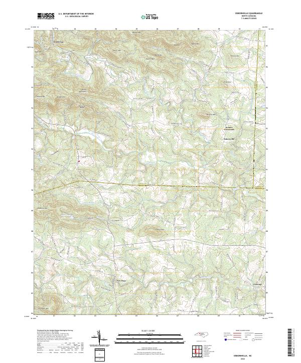 2022 Osbornville2022 Print · USGSSettlement in southern Wilkes County centers on rural crossroads and mountain gaps at the turn of the twenty-first century. Genealogists can trace local family landmarks through Cooter Hollow, Windy Gap, and the old Somers Crossroads.
 - 2022 Map of Elkin North, 2022 Print
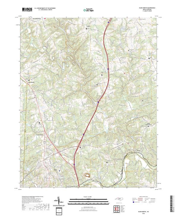 2022 Elkin North2022 Print · USGSThe northern reaches of Surry County come into focus in the early 2020s, where the Yadkin River separates the towns of Elkin and Jonesville. Researchers can trace the lineage of this rural community through numerous burial grounds like Grassy Creek Cem and Bessies Chapel Cem or locate the Elkin Municipal Airport.
 - 2022 Map of Moravian Falls, 2022 Print
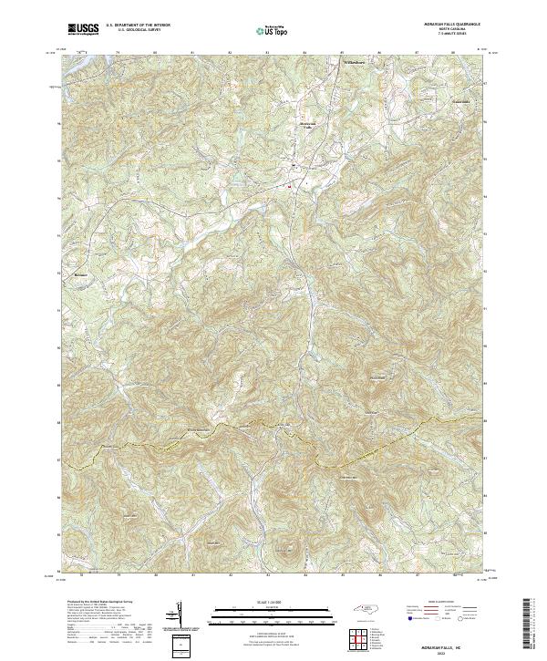 2022 Moravian Falls2022 Print · USGSThe Brushy Mountains of North Carolina define this landscape as it appeared in the early 2020s, showcasing the high ridges and gaps between Wilkes and Alexander Counties. Researchers can trace family sites near Moravian Falls or locate Lebanon Cem and Pores Knob.
 - 2022 Map of Maple Springs, 2022 Print
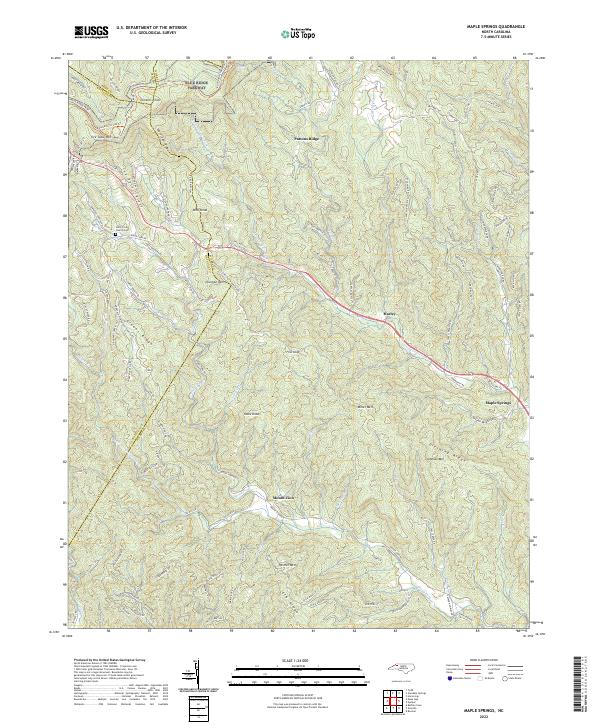 2022 Maple Springs2022 Print · USGSThe rugged borders of Wilkes and Watauga Counties are captured here as they appeared in 2022, where the Blue Ridge Parkway skirts high mountain ridges. Genealogists and local historians can locate the Stony Fork Church Cem, the community of Maple Springs, and old mining sites near Mica Mines Ln.
 - 2022 Map of Roaring River, 2022 Print
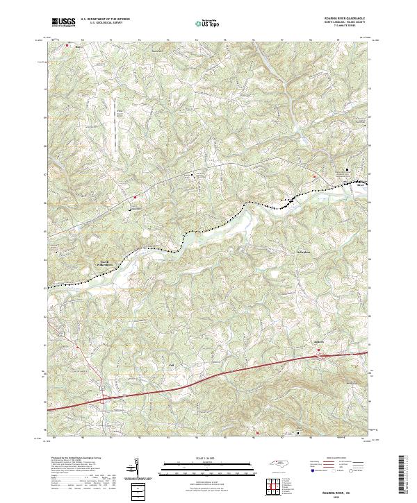 2022 Roaring River2022 Print · USGSWilkes County at the start of the 2020s shows a landscape where river valleys and ridge roads connect historic rural communities. Researchers can trace family sites at Mount Sinai Cem, Antioch, and the Liberty Grove Baptist Church Cem.
 - 2022 Map of Elkin South, 2022 Print
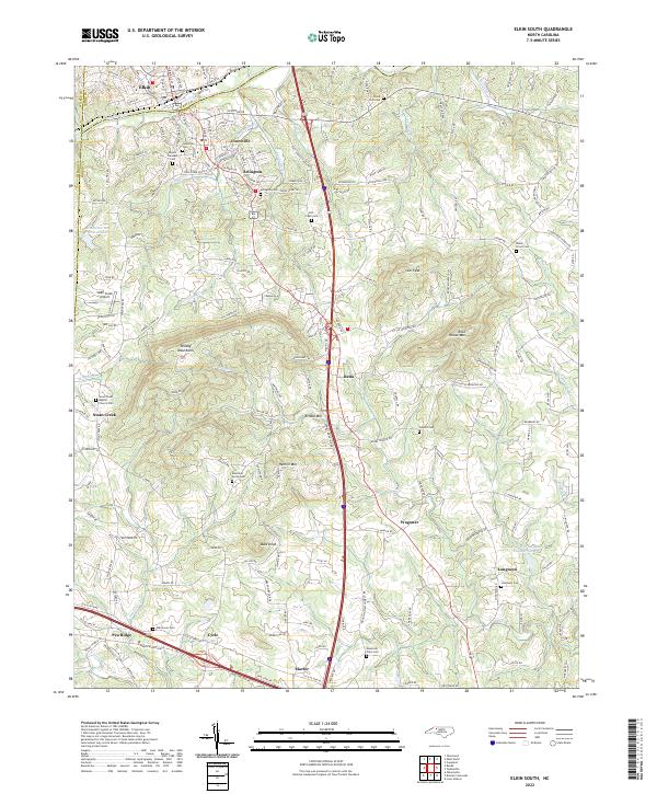 2022 Elkin South2022 Print · USGSThe Yadkin River valley and the Brushy Mountains come into focus in this contemporary survey of the Surry and Yadkin County border. Genealogists and local historians can trace rural roots through numerous sites like Jonesville Cem, Longtown, and Arlington Cem.
 - 2022 Map of Roaring Gap, 2022 Print
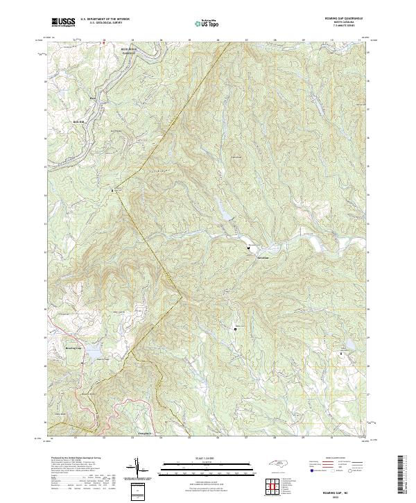 2022 Roaring Gap2022 Print · USGSSurry and Alleghany counties meet along the crest of the Blue Ridge in this modern survey of the North Carolina high country. Genealogists can locate family landmarks like Union Hill Cem and Walker Cem or trace the early paths of Rich Hill and Devotion.
 - 2022 Map of Wilkesboro, 2022 Print
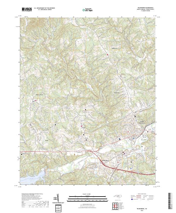 2022 Wilkesboro2022 Print · USGSWilkesboro and North Wilkesboro are shown at their modern confluence in this 2022 survey. Genealogists can trace local roots at the Osbourne Family Cem, Saint Pauls Cem, and Harmony Baptist Church Cem.
 - 2022 Map of Traphill, 2022 Print
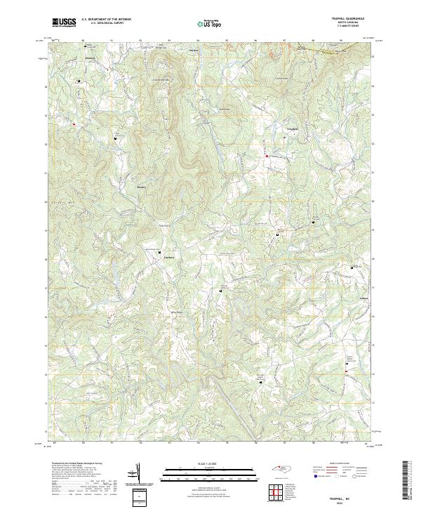 2022 Traphill2022 Print · USGSThe foothills of northern Wilkes County come into focus in this recent survey of the Roaring River headwaters. Genealogists and local historians can trace family burial sites at Mount Pisgah Cem, Round Hill Cem, and Stony Ridge Cem near the settlements of Traphill and Lomax.
 - 2022 Map of Whitehead, 2022 Print
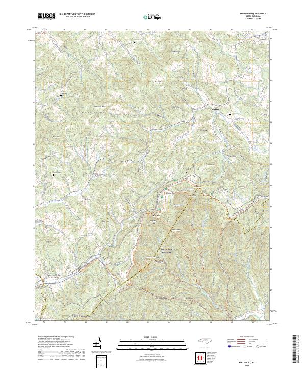 2022 Whitehead2022 Print · USGSAlleghany County's high ridges and river headwaters are captured in this recent survey of the North Carolina mountains. Genealogists and hikers can trace family sites at Antioch Cem or follow the Blue Ridge Parkway past Alligator Back and The Peak.
 - 2022 Map of Ronda, 2022 Print
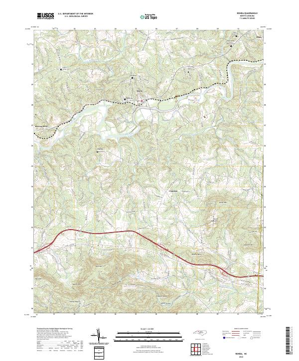 2022 Ronda2022 Print · USGSWilkes County life unfolds along the banks of the Yadkin River and the slopes of the Brushy Mountains in the early 2020s. Family historians can locate several burial sites and rural centers, from Old Brier Creek Cem to the town of Ronda.
 - 2022 Map of Thurmond, 2022 Print
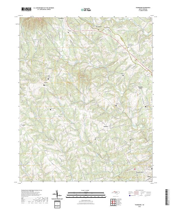 2022 Thurmond2022 Print · USGSThe foothills of the Blue Ridge come alive in this recent survey of the Wilkes and Surry county line. Genealogists and local historians can trace family burial sites at State Road Primitive Baptist Church Cem or find the natural landmark of Carter Falls.
 - 2022 Map of Deep Gap, 2022 Print
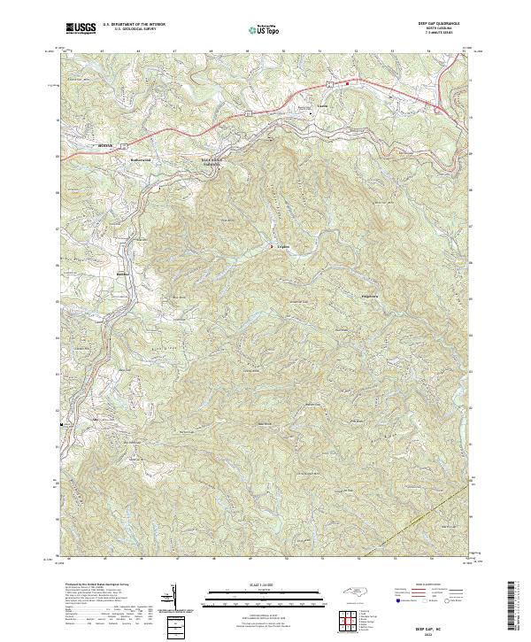 2022 Deep Gap2022 Print · USGSWatauga County’s high country comes alive in this 2022 survey, showcasing the winding mountain roads and gaps that define the Blue Ridge landscape. Genealogists can locate family sites near Regeneration Church-Cem or the crossroads of Rutherwood and Triplett.
 - 2022 Map of Glendale Springs, 2022 Print
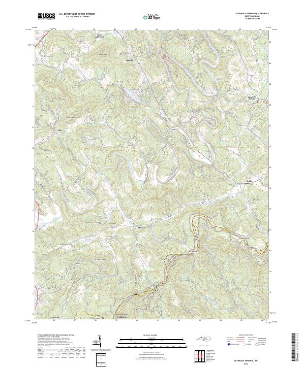 2022 Glendale Springs2022 Print · USGSIn the high country of Ashe County, this survey documents the mountain settlements and natural corridors of the early twenty-first century. Researchers can trace the path of the Blue Ridge Parkway through Benge Gap or locate communities like Idlewild and Glendale Springs.
 - 2022 Map of Buffalo Cove, 2022 Print
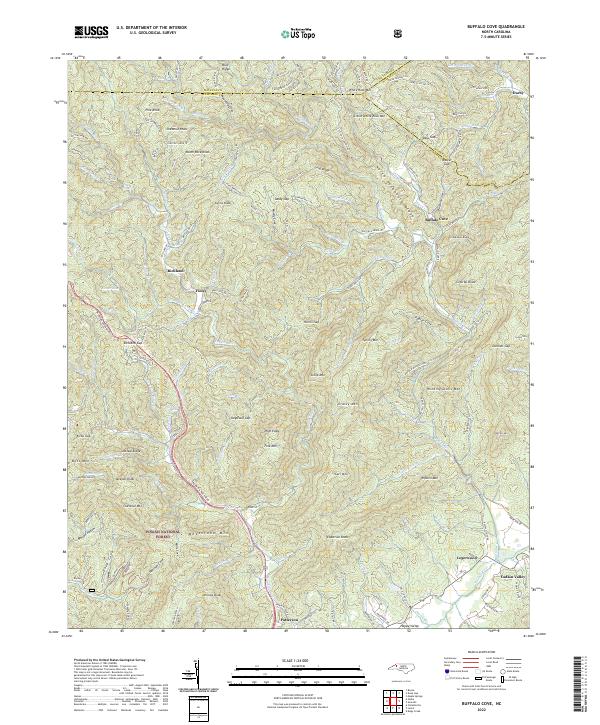 2022 Buffalo Cove2022 Print · USGSThe North Carolina high country at the Caldwell and Watauga county lines is shown here in detail during the early 2020s. Researchers can locate long-standing communities such as Buffalo Cove and Legerwood or trace the Yadkin River headwaters near Happy Valley.
 - 2022 Map of Grandin, 2022 Print
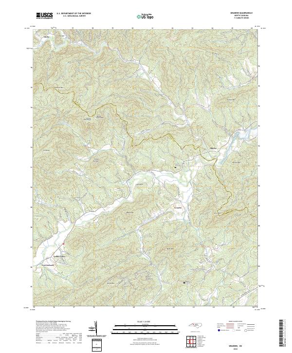 2022 Grandin2022 Print · USGSThe Foothills of North Carolina are mapped here in the early twenty-first century, showing the steep ridges and river valleys of the Blue Ridge. Trace local history at Fort Defiance and Elkville, or locate family sites near Mount Bethel Cem and Grandin.
 - 2022 Map of Boomer, 2022 Print
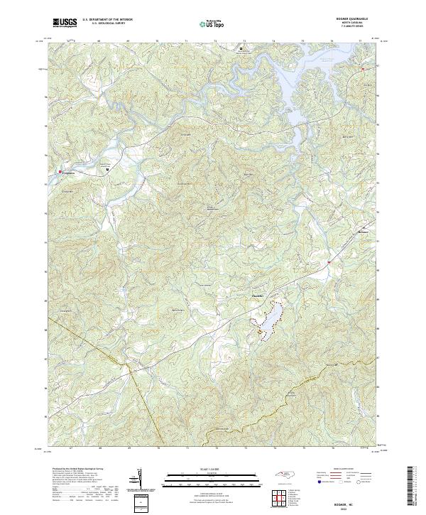 2022 Boomer2022 Print · USGSWilkes County at the edge of the Brushy Mountains remains a landscape of river valleys and high ridges in the early 2020s. Genealogists can trace family landmarks and rural communities at Thankful, Ferguson, and the Davis Memorial Baptist Church Cem.
 - 2022 Map of Horse Gap, 2022 Print
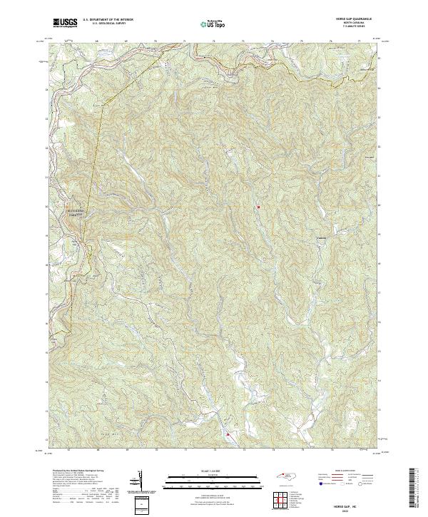 2022 Horse Gap2022 Print · USGSThe high ridges of the Blue Ridge Mountains meet the Ashe and Wilkes county line in this contemporary topographical study. Researchers can trace remote mountain roads and drainage systems around Vannoy, Moravian Camp Lake, and the winding Blue Ridge Parkway.
End of results
Showing maps 1-23 of 23
Top cities of Wilkes County
Frequently asked questions
- What are the different types of historical maps available for Wilkes County?
- What is the oldest map of Wilkes County?
- Where can I purchase historical maps of Wilkes County for my home or office?
- Where can I download high-res historical maps of Wilkes County?
- Are there historical topographic maps available for Wilkes County?
- Is there historical aerial imagery available for Wilkes County?
- Where are historical maps of Wilkes County sourced from?