2010s Maps of Wilson County, North Carolina
Explore 60 historic maps of Wilson County from the 2010s. These maps offer a rare glimpse into what life looked like during the 2010s — showing old roads, neighborhoods, homes, and landmarks that have changed or disappeared over time.
Whether you're researching your family's past, planning a metal detecting trip, or studying how Wilson County's landscape evolved across the 2010s, these high-resolution maps are a powerful tool for exploring the history of this region.
- Focus on a specific era: All maps on this page are from the 2010s, giving you a focused view of this time period.
- See what’s changed: Compare century-old streets, trails, and buildings to today's modern landscape using overlays and satellite layers.
- Research with precision: Use these maps for genealogy, historical research, land use analysis, or educational projects.
- View, download, or print: Maps are fully viewable online in high resolution, and can be downloaded or printed for your own records.
Start exploring Wilson County's history through authentic maps from the 2010s. This is your window into the past.
Wilson County, NC maps
(60)- 2010 Map of Middlesex, 2010 Print
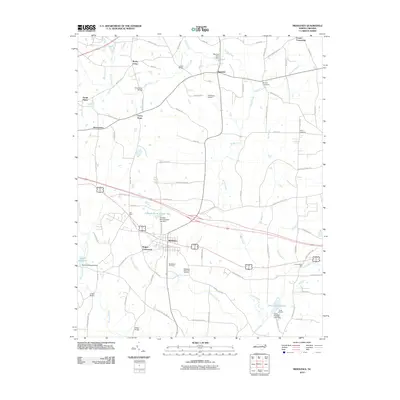 2010 Middlesex2010 Print · USGSNash County at the start of the decade reveals a landscape of enduring crossroads communities and rural water systems. Genealogists and local researchers can trace family landmarks and historical sites from Underwoods Mill to Union Hope and Middlesex Cemetery.
 - 2010 Map of Kenly West, 2010 Print
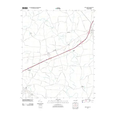 2010 Kenly West2010 Print · USGSPine Level and the surrounding Johnston County communities are captured here in the late 2000s, showing a landscape defined by small-town centers and rural junctions. Trace local history through landmarks like Lowell Mill, Oak Grove Inn, and the winding course of the Little River.
 - 2010 Map of Kenly East, 2010 Print
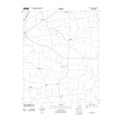 2010 Kenly East2010 Print · USGSCoastal plain farmland and swamp drainage networks define this corner of Johnston County during the early 2000s. Genealogists and local historians can trace family-named landmarks and rural hubs such as Edgerton Cemetery, Hickory Crossroads, and Pinkney.
 - 2010 Map of Bailey, 2010 Print
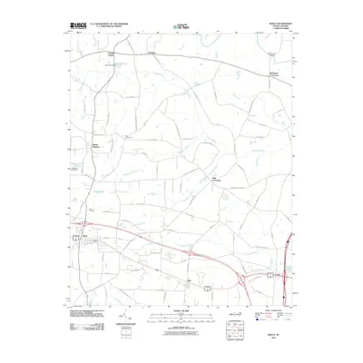 2010 Bailey2010 Print · USGSCoastal plain settlements and winding swamp networks define this Nash and Wilson County landscape in the early 2000s. Genealogists and local historians can trace the development around Bailey and Sims, or locate landmarks like Finchs Millpond and Bailey Cemetery.
 - 2010 Map of Lucama, 2010 Print
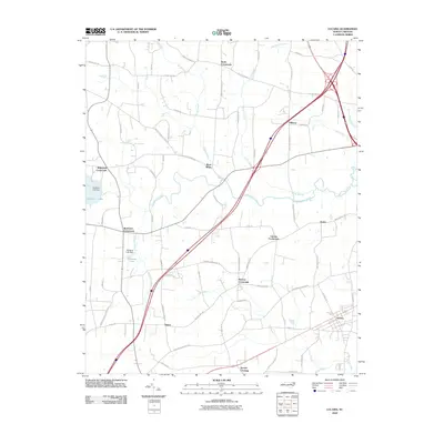 2010 Lucama2010 Print · USGSThe rural crossroads of Wilson County are captured here at the start of the 2010s, showing a landscape defined by agrarian traditions and modern transit. Researchers can trace family-named landmarks and small settlements like Rock Ridge, Buckhorn Crossroads, and Hawra along the waters of Contentnea Creek.
 - 2010 Map of Stancils Chapel, 2010 Print
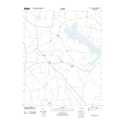 2010 Stancils Chapel2010 Print · USGSJohnston County’s rural crossroads and water-bound landscape are captured here in the early twenty-first century. Researchers can trace family history through sites like Shoeheel Cemetery and community hubs at Stancils Chapel or Moores Crossroads.
 - 2010 Map of Walstonburg, 2010 Print
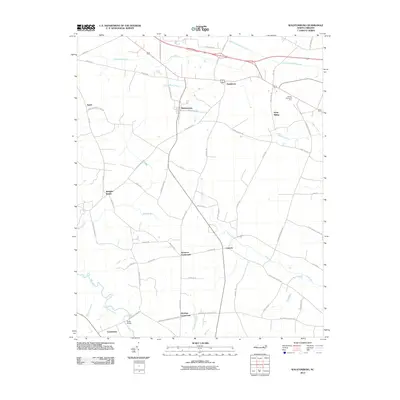 2010 Walstonburg2010 Print · USGSThe coastal plains of North Carolina are detailed here in the early twenty-first century, showing a landscape defined by wetlands and crossroads. Researchers can trace rural lineages through local landmarks like Speights Bridge, Castoria, and the community of Appie.
 - 2010 Map of Fremont, 2010 Print
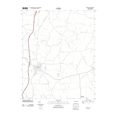 2010 Fremont2010 Print · USGSCoastal plain agriculture and wetlands define Wayne County during the early twenty-first century. Genealogists and local historians can trace family-named routes and landmarks such as Elmwood Cemetery, Edmundson Crossroads, and West Lake.
 - 2010 Map of Wilson, 2010 Print
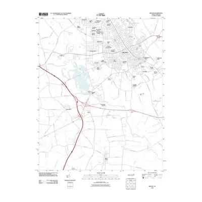 2010 Wilson2010 Print · USGSWilson and its sprawling suburban neighborhoods are captured during a period of modern expansion along the Contentnea Creek. Genealogists and local historians can locate specific sites like Maplewood Cemetery, Wiggins Mill Dam, and the Wilson County Speedway.
 - 2010 Map of Elm City, 2010 Print
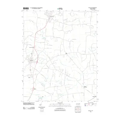 2010 Elm City2010 Print · USGSCoastal plain settlements and winding swamp systems define this Wilson County landscape in the early 2000s. Genealogists and historians can trace the rural layout of communities like Sharpsburg, Bridgersville, and Penders Crossroads.
 - 2010 Map of Winstead Crossroads, 2010 Print
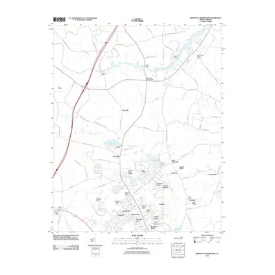 2010 Winstead Crossroads2010 Print · USGSThe northern outskirts of Wilson come into focus in the early twenty-first century, showing the interface between traditional crossroads and modern residential growth. Trace the evolution of the landscape near Lake Wilson and find landmarks like Finch Mill and Winstead Crossroads.
 - 2010 Map of Fountain, 2010 Print
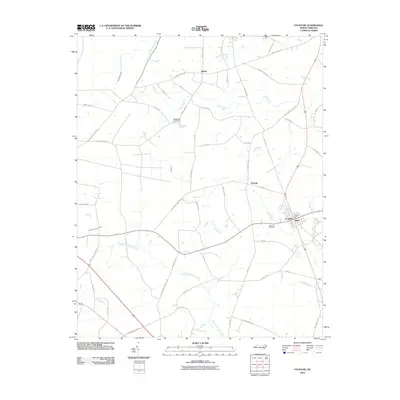 2010 Fountain2010 Print · USGSPitt County's rural landscape is captured here in the years following the millennium, centered on the community of Fountain. Researchers can trace local landmarks like Memorial Cemetery and the post office, alongside smaller settlements such as Reba and Toddy.
 - 2010 Map of Stantonsburg, 2010 Print
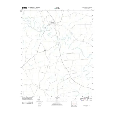 2010 Stantonsburg2010 Print · USGSCoastal plain settlements and winding creek beds define this portion of Wilson County in 2010. Researchers can trace historic farm-to-market routes and family names through Stantonsburg, Faro, and the wetlands surrounding Contentnea Creek.
 - 2010 Map of Pinetops, 2010 Print
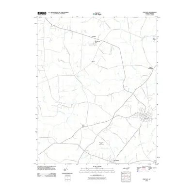 2010 Pinetops2010 Print · USGSCoastal plain settlements in Edgecombe County are captured here at a time of steady rural growth. Researchers can trace family-named routes and local landmarks from Saint Lewis and Pinetops to the water-bound reaches of Cokey Swamp and Town Creek.
 - 2010 Map of Saratoga, 2010 Print
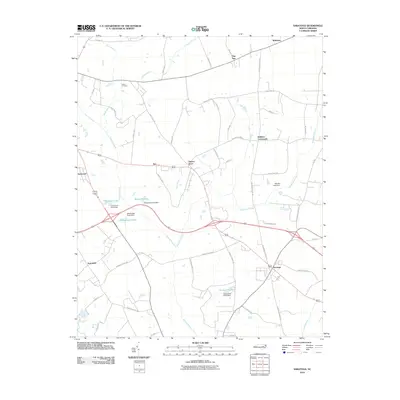 2010 Saratoga2010 Print · USGSCoastal plain farming communities and wetlands define this Wilson County landscape in the early twenty-first century. Researchers can trace rural family sites near Toisnot Cemetery and historic junctions like Holdens Crossroads and Drivers Store.
 - 2013 Map of Wilson, 2013 Print
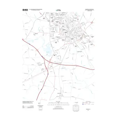 2013 Wilson2013 Print · USGSWilson's residential and industrial footprint is fully established in this early twenty-first-century survey. Genealogists and local historians can trace modern neighborhoods like Hominy Heights alongside historical landmarks such as Wiggins Mill and the Wilson County Speedway.
 - 2013 Map of Winstead Crossroads, 2013 Print
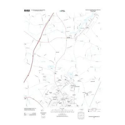 2013 Winstead Crossroads2013 Print · USGSThe rural fringes north of Wilson were rapidly evolving in the early twenty-first century as new neighborhoods met historic swampland. Researchers can trace local landmarks like Finch Mill, the Tar River Reservoir, and old junctions at Winstead Crossroads.
 - 2013 Map of Saratoga, 2013 Print
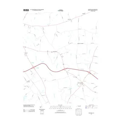 2013 Saratoga2013 Print · USGSCoastal plain crossroads and swampy bottomlands define Wilson County during the early twenty-first century. Genealogists and local historians can trace the rural landscape surrounding Saratoga, including namesake landmarks like Drivers Store, Holdens Crossroads, and Archie Ellis Pond.
 - 2013 Map of Stantonsburg, 2013 Print
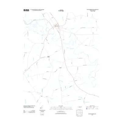 2013 Stantonsburg2013 Print · USGSStantonsburg and the surrounding North Carolina coastal plain are captured here in the early twenty-first century. Genealogists and local historians can trace the rural communities of Watery Branch, Lindell, and Faro alongside landmarks like Contentnea Cr.
 - 2013 Map of Fremont, 2013 Print
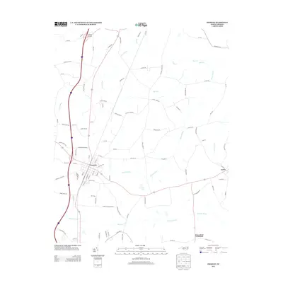 2013 Fremont2013 Print · USGSFremont and the surrounding Wayne County wetlands are documented here in the early twenty-first century. Researchers can trace local lineage through family-named roads and rural hubs like Eureka, Edmundson Crossroads, and Carrboro.
 - 2013 Map of Walstonburg, 2013 Print
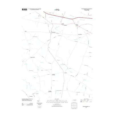 2013 Walstonburg2013 Print · USGSCoastal plain farming communities and swampy bottomlands define this portion of North Carolina in the early twenty-first century. Genealogists and researchers can trace local crossroads and crossings like Fieldsboro, Daisy Siding, and Fools Bridge.
 - 2013 Map of Pinetops, 2013 Print
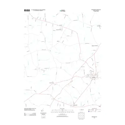 2013 Pinetops2013 Print · USGSEdgecombe County's agricultural heartland is documented here in the early twenty-first century, showing the established communities of Pinetops and Macclesfield. Genealogists and local historians can trace family-named routes and old crossroads like Saint Lewis and Wiggins Crossroads.
 - 2013 Map of Elm City, 2013 Print
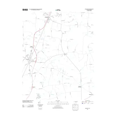 2013 Elm City2013 Print · USGSCoastal plain crossroads and railroad towns define this Wilson County landscape in the early twenty-first century. Genealogists and local historians can trace the communities of Elm City, Sharpsburg, and Rosebud alongside landmarks like Adams Pond and Cattail Swamp.
 - 2013 Map of Fountain, 2013 Print
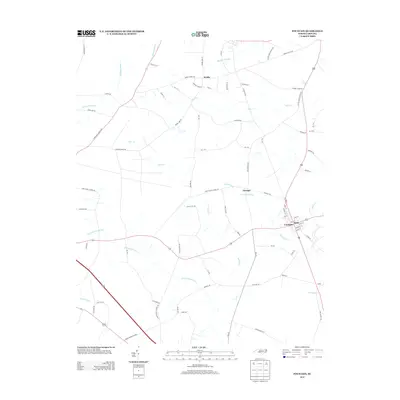 2013 Fountain2013 Print · USGSPitt County's agricultural heartland is documented here in the early twenty-first century, centered on the historic crossroads of Fountain. Researchers can trace old family land holdings along Corbett Farm Rd or explore the drainage basins of Little Contentnea Creek and Langs Mill Run.
 - 2013 Map of Stancils Chapel, 2013 Print
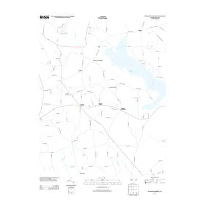 2013 Stancils Chapel2013 Print · USGSJohnston County’s rural landscape is captured here in the early twenty-first century, centered on the community of Heflin and the waters of Buckhorn Reservoir. Researchers can trace local lineage through several crossroads and landmarks, including Stancils Chapel, Dixie Crossroads, and the settlement of Shoeheel.
Showing maps 1-25 of 60
Top cities of Wilson County
- Wilson historical maps
- Elm City historical maps
- Lucama historical maps
- Stantonsburg historical maps
- Black Creek historical maps
- Saratoga historical maps
See more
Frequently asked questions
- What are the different types of historical maps available for Wilson County?
- What is the oldest map of Wilson County?
- Where can I purchase historical maps of Wilson County for my home or office?
- Where can I download high-res historical maps of Wilson County?
- Are there historical topographic maps available for Wilson County?
- Is there historical aerial imagery available for Wilson County?
- Where are historical maps of Wilson County sourced from?