Old Maps of Haynes, North Dakota for Genealogy
Trace your family roots with 10 historic maps of Haynes. These high-res maps reveal old neighborhoods, homesites, landmarks, and streets — helping you uncover where your ancestors lived and how the area evolved over time.
- Explore historic neighborhoods: Identify where your relatives may have lived in the 1800s or 1900s.
- Compare maps over time: Trace the changes in streets, buildings, and landmarks for multi-generational research.
- Perfect for genealogy & ancestry research: Used by family historians and researchers to map out lineage and migration.
These maps are an incredible resource for exploring your personal connection to Haynes's past.
Haynes, ND maps
(10)- 1954 Map of Lemmon, 1964 Print
 1954 Lemmon1964 Print · USGSThe high plains of South Dakota and North Dakota are documented here during the mid-twentieth century. Family researchers can trace dozens of country school sites like Green Cabin School and Bierke School alongside landmarks like The Castles.2 unique versions available
 - 1957 Map of Lemmon
 1957 Lemmon1957 Print · USGSThe northwestern plains of South Dakota and North Dakota are captured here in the mid-fifties, centered on the rail hub of Lemmon. Genealogists and historians can trace dozens of rural schoolhouses and vanished sites like Imogene and the Shadehill Reservoir area.
 - 1974 Map of Haynes, 1978 Print
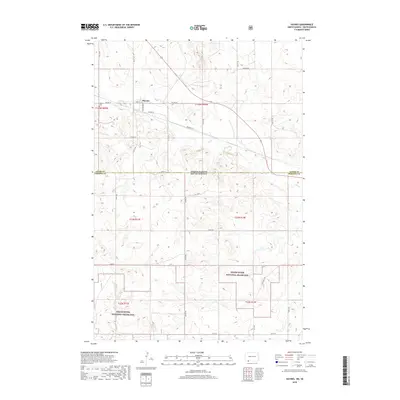
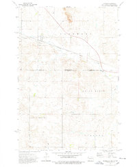 1974 Haynes1978 Print · USGSThe border between the Dakotas comes alive in the mid-1970s, showing the intersection of rail transport and prairie industry. Genealogists and historians can locate the Haynes Cem, the local Townhall, and the prominent Strip Mine north of town.
 - 1984 Map of Lemmon
 1984 Lemmon1984 Print · USGSThe High Plains borderlands of South Dakota and North Dakota are documented here in the mid-1980s, centered on the Lemmon and Hettinger rail corridor. Genealogists and historians can trace local landmarks like Strool, the Shadehill Reservoir shoreline, and isolated buttes including White Butte and Square Top Butte.2 unique versions available
 - 1998 Map of Haynes, 2001 Print
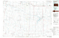
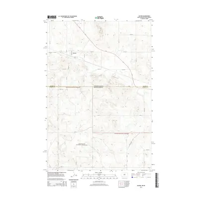
 1998 Haynes2001 Print · USGSThe ranching country of the Dakotas is preserved here at the close of the twentieth century, straddling the state line between Adams and Perkins counties. Genealogists and local historians can trace legacy landholdings like the C Frey Ranch or the B Hermann Ranch and find community landmarks from the Haynes Cem to the Townhall.
 - 2012 Map of Haynes, 2012 Print
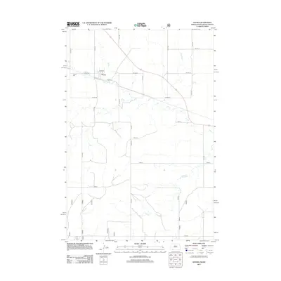 2012 Haynes2012 Print · USGSCovers Haynes, including Perkins County, Adams County, and other nearby areas
 - 2014 Map of Haynes, 2014 Print
 2014 Haynes2014 Print · USGSCovers Haynes, including Perkins County, Adams County, and other nearby areas
 - 2018 Map of Haynes, 2018 Print
 2018 Haynes2018 Print · USGSCovers Haynes, including Perkins County, Adams County, and other nearby areas
 - 2020 Map of Haynes, 2020 Print
 2020 Haynes2020 Print · USGSCovers Haynes, including Perkins County, Adams County, and other nearby areas
 - 2024 Map of Haynes, 2024 Print
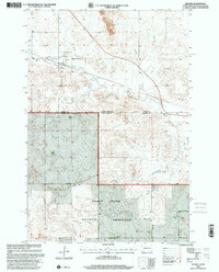
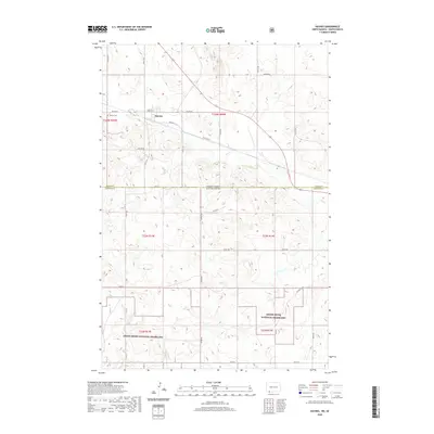
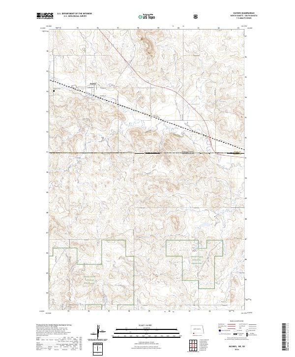 2024 Haynes2024 Print · USGSThe North Dakota and South Dakota borderlands come into focus here, showing the settlement of Haynes and the surrounding high plains ranching country. Genealogists and local historians can trace the town’s layout along Railway St and locate family plots at Haynes Cem.
End of results
Showing maps 1-10 of 10
Top cities near Haynes
Frequently asked questions
- What are the different types of historical maps available for Haynes?
- What is the oldest map of Haynes?
- Where can I purchase historical maps of Haynes for my home or office?
- Where can I download high-res historical maps of Haynes?
- Are there historical topographic maps available for Haynes?
- Is there historical aerial imagery available for Haynes?
- Where are historical maps of Haynes sourced from?