2000s (21st Century) Maps of Ashtabula Township, North Dakota
Explore 20 historic maps of Ashtabula Township from the 2000s (21st Century). These maps offer a rare glimpse into what life looked like during the 2000s — showing old roads, neighborhoods, homes, and landmarks that have changed or disappeared over time.
Whether you're researching your family's past, planning a metal detecting trip, or studying how Ashtabula Township's landscape evolved across the 2000s, these high-resolution maps are a powerful tool for exploring the history of this region.
- Focus on a specific era: All maps on this page are from the 2000s, giving you a focused view of this time period.
- See what’s changed: Compare century-old streets, trails, and buildings to today's modern landscape using overlays and satellite layers.
- Research with precision: Use these maps for genealogy, historical research, land use analysis, or educational projects.
- View, download, or print: Maps are fully viewable online in high resolution, and can be downloaded or printed for your own records.
Start exploring Ashtabula Township's history through authentic maps from the 2000s. This is your window into the past.
Ashtabula Township, ND maps
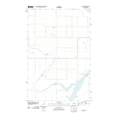
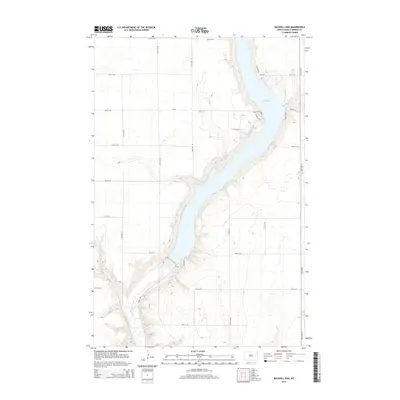
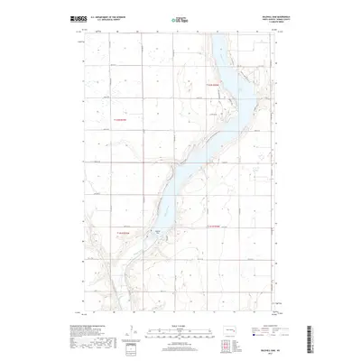
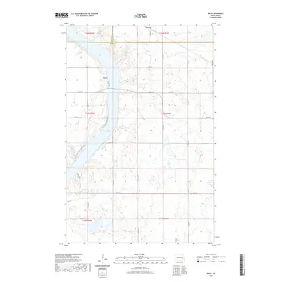
(20)- 2011 Map of Baldhill Dam, 2011 Print
 2011 Baldhill Dam2011 Print · USGSCovers Ashtabula Township, including Getchell Township, Stewart Township, and other nearby areas
 - 2011 Map of Dazey NE, 2011 Print
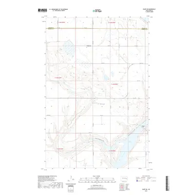
 2011 Dazey NE2011 Print · USGSCovers Ashtabula Township, including Rogers Township, Sibley Trail Township, and other nearby areas
 - 2011 Map of Pillsbury SW, 2011 Print
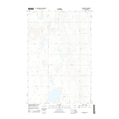
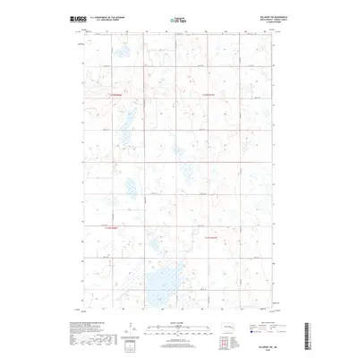
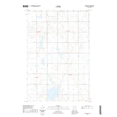
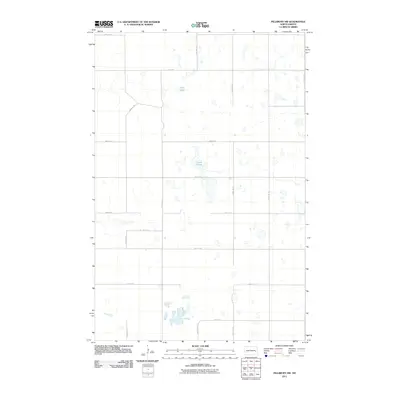 2011 Pillsbury SW2011 Print · USGSCovers Ashtabula Township, including Noltimier Township, Grand Prairie Township, and other nearby areas
 - 2011 Map of Sibley, 2011 Print
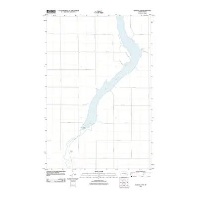
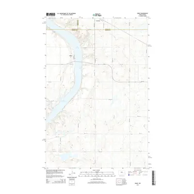
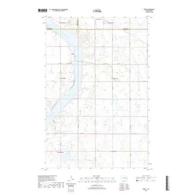
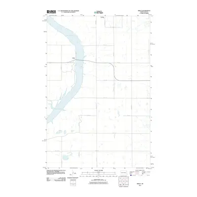 2011 Sibley2011 Print · USGSCovers Ashtabula Township, including Sibley, Luverne, and other nearby areas
 - 2014 Map of Sibley, 2014 Print
 2014 Sibley2014 Print · USGSCovers Ashtabula Township, including Sibley, Luverne, and other nearby areas
 - 2014 Map of Pillsbury SW, 2014 Print
 2014 Pillsbury SW2014 Print · USGSCovers Ashtabula Township, including Noltimier Township, Grand Prairie Township, and other nearby areas
 - 2014 Map of Dazey NE, 2014 Print
 2014 Dazey NE2014 Print · USGSCovers Ashtabula Township, including Rogers Township, Sibley Trail Township, and other nearby areas
 - 2014 Map of Baldhill Dam, 2014 Print
 2014 Baldhill Dam2014 Print · USGSCovers Ashtabula Township, including Getchell Township, Stewart Township, and other nearby areas
 - 2017 Map of Baldhill Dam, 2017 Print
 2017 Baldhill Dam2017 Print · USGSCovers Ashtabula Township, including Getchell Township, Stewart Township, and other nearby areas
 - 2018 Map of Sibley, 2018 Print
 2018 Sibley2018 Print · USGSCovers Ashtabula Township, including Sibley, Luverne, and other nearby areas
 - 2018 Map of Pillsbury SW, 2018 Print
 2018 Pillsbury SW2018 Print · USGSCovers Ashtabula Township, including Noltimier Township, Grand Prairie Township, and other nearby areas
 - 2018 Map of Dazey NE, 2018 Print
 2018 Dazey NE2018 Print · USGSCovers Ashtabula Township, including Rogers Township, Sibley Trail Township, and other nearby areas
 - 2020 Map of Pillsbury SW, 2020 Print
 2020 Pillsbury SW2020 Print · USGSCovers Ashtabula Township, including Noltimier Township, Grand Prairie Township, and other nearby areas
 - 2020 Map of Sibley, 2020 Print
 2020 Sibley2020 Print · USGSCovers Ashtabula Township, including Sibley, Luverne, and other nearby areas
 - 2020 Map of Baldhill Dam, 2020 Print
 2020 Baldhill Dam2020 Print · USGSCovers Ashtabula Township, including Getchell Township, Stewart Township, and other nearby areas
 - 2020 Map of Dazey NE, 2020 Print
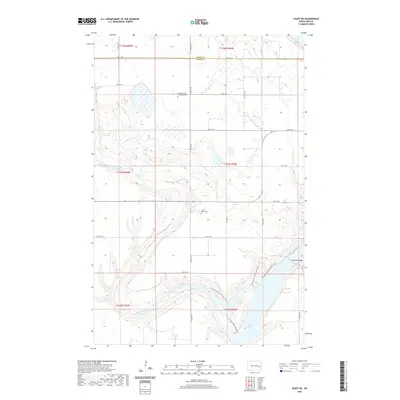 2020 Dazey NE2020 Print · USGSCovers Ashtabula Township, including Rogers Township, Sibley Trail Township, and other nearby areas
 - 2024 Map of Sibley, 2024 Print
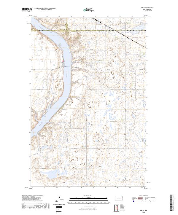 2024 Sibley2024 Print · USGSThe Sheyenne River valley and Lake Ashtabula define this Barnes County landscape in the modern era. Trace the path of the North Country National Scenic Trl or locate rural homesteads near Sibley and Luverne.
 - 2024 Map of Pillsbury SW, 2024 Print
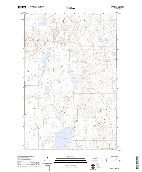 2024 Pillsbury SW2024 Print · USGSBarnes County at the start of the 2020s remains a critical landscape for conservation and agriculture. Researchers can trace the modern boundaries of the Barnes County Waterfowl Production Area and locate regional water bodies like Crow Lake and Adams Slough.
 - 2024 Map of Baldhill Dam, 2024 Print
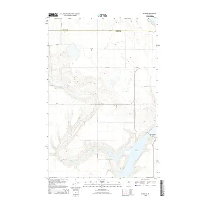
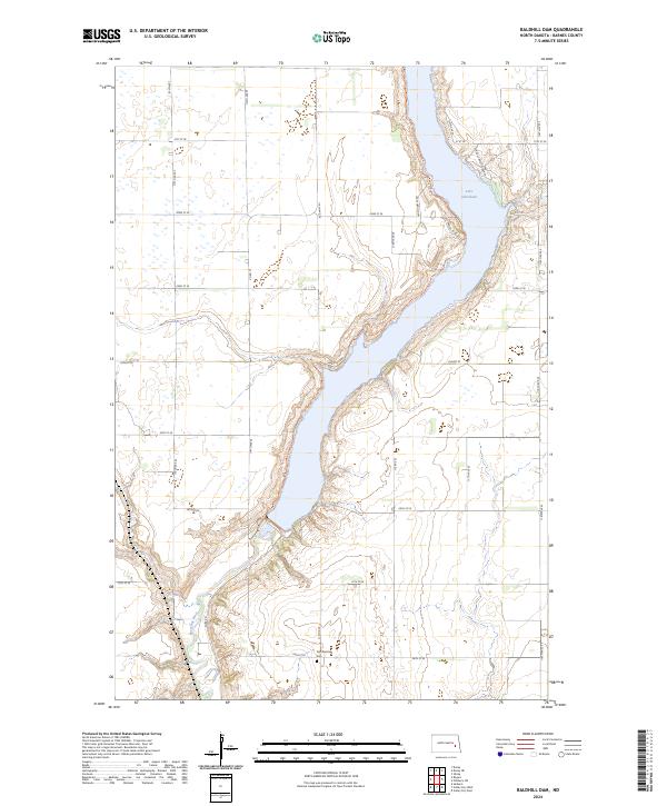 2024 Baldhill Dam2024 Print · USGSIn the valley of the Sheyenne River, this modern map illustrates the Barnes County landscape shaped by the waters of Lake Ashtabula. Researchers can locate specific family-named landing sites like Martins Lndg and trace the Zion Getchell Cem.
 - 2024 Map of Dazey NE, 2024 Print
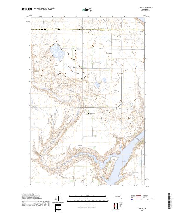 2024 Dazey NE2024 Print · USGSThe Barnes and Griggs county line comes alive in this contemporary map of North Dakota's prairie pothole region. Genealogists and hikers can trace the North Country National Scenic Trl or locate family plots at Saint Marys Cem and Sunnyside Cem / Ladbury Cem.
End of results
Showing maps 1-20 of 20
Top cities near Ashtabula Township
- Valley City historical maps
- Sanborn historical maps
- Hannaford historical maps
- Dazey historical maps
- Rogers historical maps
- Sibley historical maps
See more
Frequently asked questions
- What are the different types of historical maps available for Ashtabula Township?
- What is the oldest map of Ashtabula Township?
- Where can I purchase historical maps of Ashtabula Township for my home or office?
- Where can I download high-res historical maps of Ashtabula Township?
- Are there historical topographic maps available for Ashtabula Township?
- Is there historical aerial imagery available for Ashtabula Township?
- Where are historical maps of Ashtabula Township sourced from?