Old Maps of Ashtabula Township, North Dakota
Explore 32 old maps of Ashtabula Township, spanning from 1952 to today. These high-resolution historic maps reveal how streets, neighborhoods, landmarks, and natural features evolved over time — perfect for genealogy, metal detecting, research, and local history exploration.
What you can do with these maps:
- See how Ashtabula Township changed over time: Compare historical maps to modern-day views to trace roads, homesites, rail lines & more.
- View detailed metadata: Each map includes creators, publishers, year, scale, and archive source.
- Overlay maps with satellite & LiDAR: Visualize the past alongside modern tools to explore terrain & human change.
- Trusted historical sources: Maps sourced from the USGS, Library of Congress, and other archives.
- Access maps your way: View online, download high-res files, or order prints for personal or research use.
Start exploring old maps of Ashtabula Township to uncover forgotten places, hidden landmarks, and the deep history beneath your feet.
Ashtabula Township, ND maps
(32)- 1952 Map of Grand Forks, 1967 Print
 1952 Grand Forks1967 Print · USGSThe Red River Valley in the early fifties is shown here at the height of its rail-and-river agricultural economy. Researchers can locate small-town landmarks like the Pleasant View School, the Immanuel Lutheran Church, and trace the path of the Soo Line Railroad.3 unique versions available
 - 1952 Map of New Rockford, 1968 Print
 1952 New Rockford1968 Print · USGSThe North Dakota prairie during the mid-1950s was a landscape of rail-dependent farm towns and vast wildlife refuges. Genealogists and historians can trace the foundations of local communities at Fort Totten Indian Agenc, Concordia Lutheran Church, and the Bowdon Country Church and Cemetery.3 unique versions available
 - 1956 Map of New Rockford
 1956 New Rockford1956 Print · USGSMid-century central North Dakota is captured here as a landscape of prairie rail towns and vast wildlife refuges. Trace family roots at the Bowdon Country Church and Cemetery or locate the old St Michael Mission School and Fort Totten.
 - 1956 Map of Grand Forks
 1956 Grand Forks1956 Print · USGSThe Red River Valley in the mid-fifties is captured here as a thriving corridor of grain elevators and rail-linked towns along the North Dakota and Minnesota border. Researchers can trace historic church sites like Immanuel Lutheran Church, vanished rail stops at Tilde Junction, and the boundaries of the White Earth Indian Reservation.
 - 1961 Map of Baldhill Dam, 1963 Print
 1961 Baldhill Dam1963 Print · USGSThe Sheyenne River valley was undergoing major changes in the early sixties as the Missouri River Basin development took shape. Genealogists and historians can locate rural landmarks like Zion Ch, Logan Sch, and the operations at the Baldhill Dam.
 - 1961 Map of Dazey NE, 1963 Print
 1961 Dazey NE1963 Print · USGSThe Sheyenne River valley in Barnes County appears here just as the landscape was adapting to the creation of Lake Ashtabula. Researchers can trace the historical Sibley Trail and locate rural landmarks like St Marys Ch, Sunnyside Cem, and School No 25.
 - 1966 Map of Grand Forks
 1966 Grand Forks1966 Print · USGSThe Red River Valley in the mid-sixties shows a landscape shaped by rail-line commerce and complex water management. Genealogists and historians can trace rail-side towns like Emerado and Hunter or locate rural landmarks like the Pleasant View Church.
 - 1967 Map of Pillsbury SW, 1969 Print
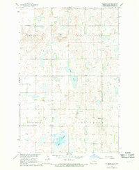 1967 Pillsbury SW1969 Print · USGSBarnes County's prairie wetlands and township divisions are captured here in the late sixties. Researchers can locate civic landmarks and family burial sites like the Townhall and Free Cem, or trace the shoreline of Adams Slough and Crow Lake.
 - 1967 Map of Sibley, 1969 Print
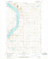 1967 Sibley1969 Print · USGSThe Sheyenne River valley and Lake Ashtabula are captured here in the late sixties, showing the intersection of water management and local prairie life. Genealogists and historians can trace the Sibley settlement, the Free Cem, and the path of the Great Northern railroad.
 - 1971 Map of New Rockford, 1974 Print
 1971 New Rockford1974 Print · USGSCentral North Dakota was a landscape of wildlife refuges and rail-linked agricultural towns in the early seventies. Genealogists and local historians can trace the development of the Fort Totten Indian Reservation and locate old railway points like Maddock, Hamal, and Kloten.
 - 1985 Map of Cooperstown
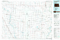 1985 Cooperstown1985 Print · USGSGriggs and Barnes Counties are seen here in the mid-eighties, a period where the prairie economy centered on rail lines and river reservoirs. Genealogists and local historians can trace family locations near Wimbledon, Hannaford, and Spiritwood Lake or locate the Fish Hatchery and Gaging Station along the Sheyenne River.2 unique versions available
 - 1985 Map of Hillsboro
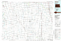 1985 Hillsboro1985 Print · USGSEastern North Dakota’s expansive farming country is mapped here in the mid-1980s, showing the vital link between rail lines and prairie towns. Genealogists and historians can trace family locations near Mayville, Sherbrooke, and the Mayville Cem.2 unique versions available
 - 2011 Map of Baldhill Dam, 2011 Print
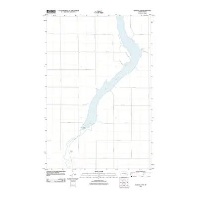 2011 Baldhill Dam2011 Print · USGSThe Sheyenne River valley was transformed by mid-century engineering, as seen here in the early twenty-first century near the Baldhill Dam. Researchers can trace the shoreline of Lake Ashtabula and locate landings like Saders Lndg.
 - 2011 Map of Dazey NE, 2011 Print
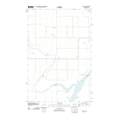 2011 Dazey NE2011 Print · USGSAshtabula Township and its surrounding prairie landscape are shown here in the early twenty-first century, centered on the vital waters of Lake Ashtabula. Genealogists and local historians can trace family locations near Sunnyside Cemetery or the community grounds at Wesley Acres Camp.
 - 2011 Map of Pillsbury SW, 2011 Print
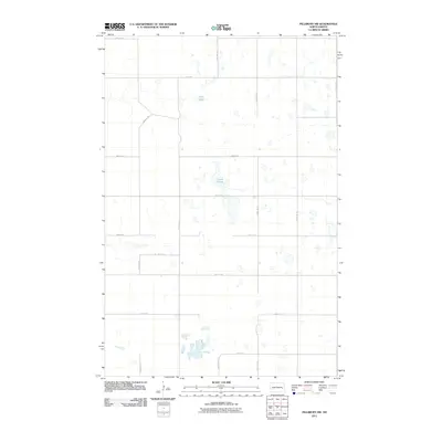 2011 Pillsbury SW2011 Print · USGSNoltimier Township at the start of the 2010s reveals a rural landscape shaped by the prairie pothole region's unique hydrology. Researchers can trace the drainage patterns and land sections surrounding Crow Lake, Larson Slough, and the grid of 121st Ave SE.
 - 2011 Map of Sibley, 2011 Print
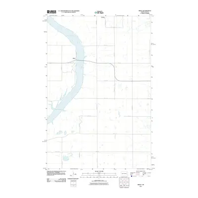 2011 Sibley2011 Print · USGSThe northern reaches of Lake Ashtabula are frozen in time in this 2011 study of the North Dakota prairie. Researchers can trace the rural infrastructure around Sibley and Luverne, or follow the winding path of the Sheyenne River through the valley.
 - 2014 Map of Sibley, 2014 Print
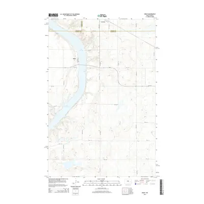 2014 Sibley2014 Print · USGSThe Barnes and Steele County borderlands appear in the early 2010s, centered on the waters of the Sheyenne River valley. Genealogists and local researchers can trace the roads around Sibley and Luverne, or follow the shoreline of Lake Ashtabula via Lakeview St.
 - 2014 Map of Pillsbury SW, 2014 Print
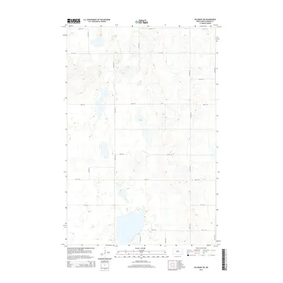 2014 Pillsbury SW2014 Print · USGSNoltimier Township's prairie pothole landscape is captured in this modern survey of eastern North Dakota. Map collectors and researchers can trace the detailed road grid from 121st Ave SE to 28th St SE or locate landmarks like Crow Lake.
 - 2014 Map of Dazey NE, 2014 Print
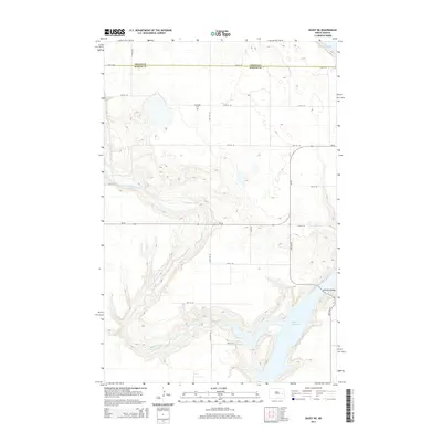 2014 Dazey NE2014 Print · USGSAshtabula Township and the surrounding North Dakota prairie are captured in 2014, showcasing the dramatic transition from agricultural tablelands to the Lake Ashtabula valley. Researchers can trace the path of Baldhill Creek and locate local landmarks like Sunnyside Cem and the Ashtabula Bridge.
 - 2014 Map of Baldhill Dam, 2014 Print
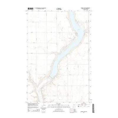 2014 Baldhill Dam2014 Print · USGSBarnes County and the Sheyenne River valley are shown here in the mid-2010s as the reservoir defines the local geography. Researchers can trace lakeshore access points like Sadeks Lndg, Eggerts Lndg, and the winding path of River Rd.
 - 2017 Map of Baldhill Dam, 2017 Print
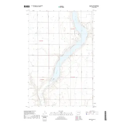 2017 Baldhill Dam2017 Print · USGSThe Sheyenne River valley underwent a total transformation following the mid-century construction of the Baldhill Dam. Researchers can trace modern shoreline developments like Lees Subdivision and Sunset Pt alongside the N Country National Scenic Trail.
 - 2018 Map of Sibley, 2018 Print
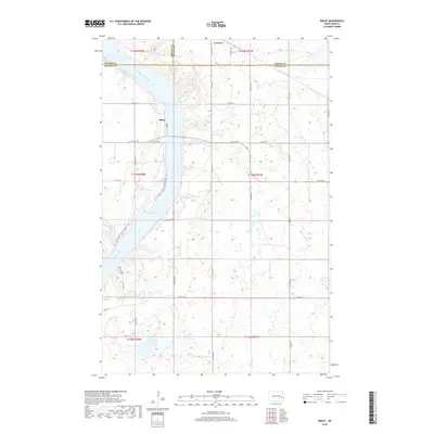 2018 Sibley2018 Print · USGSSibley and the Sheyenne River valley are captured in this recent survey, showcasing the rural landscape as Lake Ashtabula meets the prairie. Trace the path of the N Country National Scenic Trail or locate family homesteads near Sibley and Luverne.
 - 2018 Map of Pillsbury SW, 2018 Print
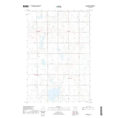 2018 Pillsbury SW2018 Print · USGSNoltimier Township in the late twenty-teens remains a landscape of traditional section lines and prairie wetlands. Genealogists and local historians can trace the farm-to-market road network around Crow Lake, Larson Slough, and Adams Slough.
 - 2018 Map of Dazey NE, 2018 Print
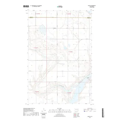 2018 Dazey NE2018 Print · USGSThe border of Barnes and Griggs counties in the late 2010s shows a landscape of prairie wetlands and the major reservoir of Lake Ashtabula. Genealogists and hikers can trace the N Country National Scenic Trail or locate Saint Marys Cem.
 - 2020 Map of Pillsbury SW, 2020 Print
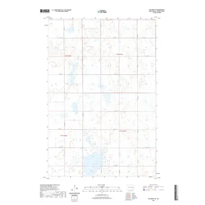 2020 Pillsbury SW2020 Print · USGSThe Barnes County prairie comes alive in this contemporary survey, showing the land's transition from open water to productive field. Researchers can trace the drainage patterns of Crow Lake and Larson Slough alongside the modern paths of Co Hwy 27.
Showing maps 1-25 of 32
Top cities near Ashtabula Township
- Valley City historical maps
- Sanborn historical maps
- Hannaford historical maps
- Dazey historical maps
- Rogers historical maps
- Sibley historical maps
See more
Frequently asked questions
- What are the different types of historical maps available for Ashtabula Township?
- What is the oldest map of Ashtabula Township?
- Where can I purchase historical maps of Ashtabula Township for my home or office?
- Where can I download high-res historical maps of Ashtabula Township?
- Are there historical topographic maps available for Ashtabula Township?
- Is there historical aerial imagery available for Ashtabula Township?
- Where are historical maps of Ashtabula Township sourced from?