Old Maps of Stewart Township, North Dakota for Academic Research
Study the evolution of Stewart Township with 32 high-resolution historic maps. Whether you're teaching, researching, or modeling changes in land use, these maps provide essential visual documentation of urban, environmental, and geographic change.
- Analyze long-term change: Track patterns in development, transportation, and natural features.
- Ideal for environmental or urban studies: Support academic projects with primary historical map data.
- Use in the classroom or lab: Educators and researchers rely on these maps to bring historical context to life.
These maps are a powerful tool for teaching, research, and visualizing how Stewart Township has changed over the decades.
Stewart Township, ND maps
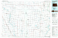
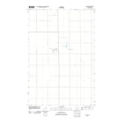
(32)- 1897 Map of Eckelson
 1897 Eckelson1897 Print · USGSEastern North Dakota in the late nineteenth century was a land defined by the iron rail and a network of glacial lakes. Genealogists can trace early homesteads and rail stops near Valley City, Sanborn, and the isolated post office at Svea.3 unique versions available
 - 1952 Map of New Rockford, 1968 Print
 1952 New Rockford1968 Print · USGSThe North Dakota prairie during the mid-1950s was a landscape of rail-dependent farm towns and vast wildlife refuges. Genealogists and historians can trace the foundations of local communities at Fort Totten Indian Agenc, Concordia Lutheran Church, and the Bowdon Country Church and Cemetery.3 unique versions available
 - 1953 Map of Jamestown
 1953 Jamestown1953 Print · USGSSoutheastern North Dakota was a thriving rail and agricultural corridor in the early fifties, anchored by the James River. Researchers can trace the footprints of institutional landmarks like the North Dakota State Hospital and historic sites such as Whitestone Hill Battlefield Park.3 unique versions available
 - 1956 Map of New Rockford
 1956 New Rockford1956 Print · USGSMid-century central North Dakota is captured here as a landscape of prairie rail towns and vast wildlife refuges. Trace family roots at the Bowdon Country Church and Cemetery or locate the old St Michael Mission School and Fort Totten.
 - 1956 Map of Jamestown
 1956 Jamestown1956 Print · USGSThe James River valley and the vast alkali lake country of south-central North Dakota are captured here in the mid-fifties. Genealogists can trace family farms across several counties, locating small rail stops like Medberry and monuments like Whitestone Hill Battlefield Park.
 - 1961 Map of Baldhill Dam, 1963 Print
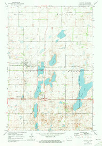
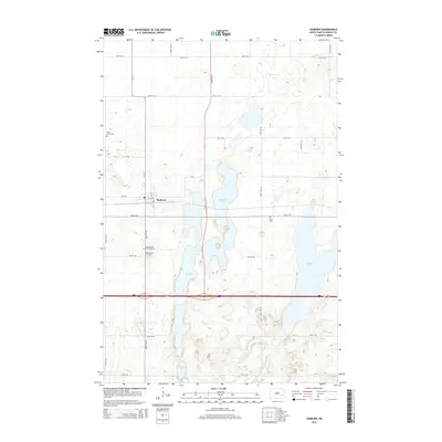
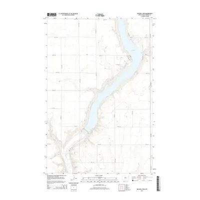
 1961 Baldhill Dam1963 Print · USGSThe Sheyenne River valley was undergoing major changes in the early sixties as the Missouri River Basin development took shape. Genealogists and historians can locate rural landmarks like Zion Ch, Logan Sch, and the operations at the Baldhill Dam.
 - 1961 Map of Valley City West, 1963 Print
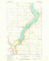
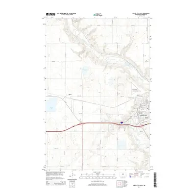
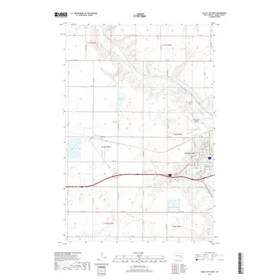
 1961 Valley City West1963 Print · USGSValley City and its surrounding townships are shown here during the early sixties as a bustling rail and educational center. Genealogists can locate family landmarks such as Heimes Sch, Woodbine Cem, and the campus of the State Teachers College.2 unique versions available
 - 1961 Map of Rogers, 1963 Print
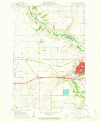
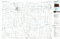
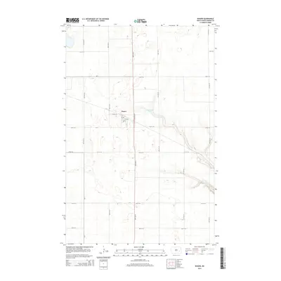
 1961 Rogers1963 Print · USGSThe Barnes County prairie comes into focus in the early sixties at the intersection of two major rail lines. Genealogists and local historians can locate the Coleman Sch, the township of Stewart, and the Tomahawk National Wildlife Refuge.
 - 1970 Map of Sanborn, 1973 Print
 1970 Sanborn1973 Print · USGSThe town of Sanborn and its surrounding prairie townships are captured here in the early 1970s, as agricultural patterns and conservation areas shaped the Barnes County landscape. Researchers can trace the Burlington Northern rail line and locate several local burial grounds including St Peter Cem and Nebo Cem.
 - 1971 Map of New Rockford, 1974 Print
 1971 New Rockford1974 Print · USGSCentral North Dakota was a landscape of wildlife refuges and rail-linked agricultural towns in the early seventies. Genealogists and local historians can trace the development of the Fort Totten Indian Reservation and locate old railway points like Maddock, Hamal, and Kloten.
 - 1985 Map of Cooperstown
 1985 Cooperstown1985 Print · USGSGriggs and Barnes Counties are seen here in the mid-eighties, a period where the prairie economy centered on rail lines and river reservoirs. Genealogists and local historians can trace family locations near Wimbledon, Hannaford, and Spiritwood Lake or locate the Fish Hatchery and Gaging Station along the Sheyenne River.2 unique versions available
 - 1986 Map of Jamestown
 1986 Jamestown1986 Print · USGSThe eastern North Dakota prairie comes into focus in the mid-eighties, centered on the rail and river hubs of Jamestown and Valley City. You can trace the Burlington Northern line through historic stops like Eckelson, Sanborn, and Spiritwood while exploring vast wildlife refuges and local landmarks.2 unique versions available
 - 2011 Map of Sanborn, 2011 Print
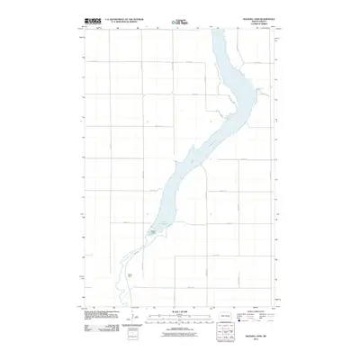
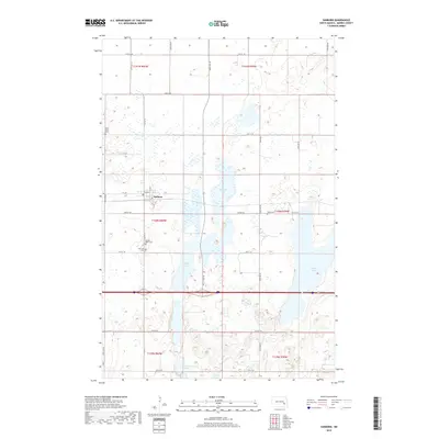
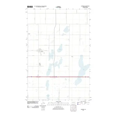 2011 Sanborn2011 Print · USGSCovers Stewart Township, including Sanborn, Anderson Township, and other nearby areas
 - 2011 Map of Valley City West, 2011 Print
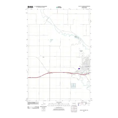 2011 Valley City West2011 Print · USGSCovers Stewart Township, including Valley City, Berea, and other nearby areas
 - 2011 Map of Baldhill Dam, 2011 Print
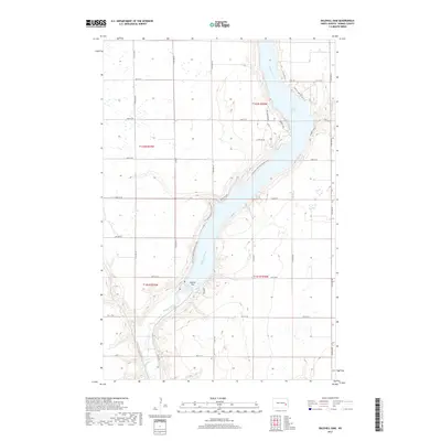
 2011 Baldhill Dam2011 Print · USGSCovers Stewart Township, including Getchell Township, Ashtabula Township, and other nearby areas
 - 2011 Map of Rogers, 2011 Print
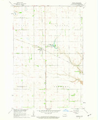
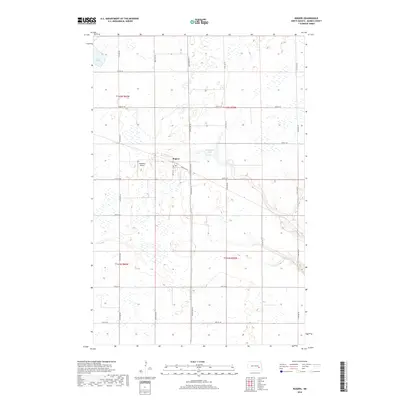
 2011 Rogers2011 Print · USGSCovers Stewart Township, including Rogers, Anderson Township, and other nearby areas
 - 2014 Map of Valley City West, 2014 Print
 2014 Valley City West2014 Print · USGSCovers Stewart Township, including Valley City, Berea, and other nearby areas
 - 2014 Map of Sanborn, 2014 Print
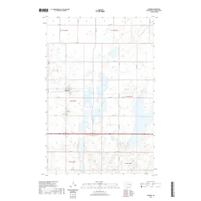
 2014 Sanborn2014 Print · USGSCovers Stewart Township, including Sanborn, Anderson Township, and other nearby areas
 - 2014 Map of Rogers, 2014 Print
 2014 Rogers2014 Print · USGSCovers Stewart Township, including Rogers, Anderson Township, and other nearby areas
 - 2014 Map of Baldhill Dam, 2014 Print
 2014 Baldhill Dam2014 Print · USGSCovers Stewart Township, including Getchell Township, Ashtabula Township, and other nearby areas
 - 2017 Map of Baldhill Dam, 2017 Print
 2017 Baldhill Dam2017 Print · USGSCovers Stewart Township, including Getchell Township, Ashtabula Township, and other nearby areas
 - 2017 Map of Valley City West, 2017 Print
 2017 Valley City West2017 Print · USGSCovers Stewart Township, including Valley City, Berea, and other nearby areas
 - 2018 Map of Sanborn, 2018 Print
 2018 Sanborn2018 Print · USGSCovers Stewart Township, including Sanborn, Anderson Township, and other nearby areas
 - 2018 Map of Rogers, 2018 Print
 2018 Rogers2018 Print · USGSCovers Stewart Township, including Rogers, Anderson Township, and other nearby areas
 - 2020 Map of Sanborn, 2020 Print
 2020 Sanborn2020 Print · USGSCovers Stewart Township, including Sanborn, Anderson Township, and other nearby areas
Showing maps 1-25 of 32
Top cities near Stewart Township
- Valley City historical maps
- Sanborn historical maps
- Eckelson historical maps
- Dazey historical maps
- Rogers historical maps
- Sibley historical maps
See more
Frequently asked questions
- What are the different types of historical maps available for Stewart Township?
- What is the oldest map of Stewart Township?
- Where can I purchase historical maps of Stewart Township for my home or office?
- Where can I download high-res historical maps of Stewart Township?
- Are there historical topographic maps available for Stewart Township?
- Is there historical aerial imagery available for Stewart Township?
- Where are historical maps of Stewart Township sourced from?