
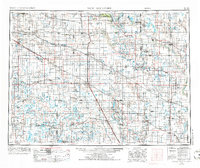
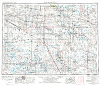
1952 Map of New Rockford
USGS Topo · Published 1968About this map
The Fort Totten Indian Agenc and nearby St Michael Mission School anchor the northern landscape of this North Dakota survey, which documents the extensive prairie pothole region during the mid-20th century. This area is characterized by an intricate network of wetlands and seasonal water bodies, including Devils Lake and the expansive Arrowwood National Wildlife Refuge. The map reveals a robust agricultural and transport system defined by competing rail lines, such as the Great Northern RR and Northern Pacific RR, which connect dozens of grain-handling settlements like New Rockford, Cooperstown, and Maddock. Rural life is marked by isolated landmarks and community hubs, including The Church by the Highway and Bowdon Country Church and Cemetery, offering researchers a view of the social and spiritual geography of the Great Plains before the consolidation of many small farming towns.
Find a feature on this map
224 named features on this map. Tap any name to fly to it.
Don’t see what you’re looking for? This feature index may not catch every label — zoom into the map to look around manually.
Map Details
Editions of this 1952 New Rockford Map
3 editions found
Other maps of this area

1896 · Jamestown
USGS Topo · 1:125,000

1897 · Tower
USGS Topo · 1:125,000

1897 · Eckelson
USGS Topo · 1:125,000

1900 · Pingree
USGS Topo · 1:125,000

1900 · Pingree
USGS Topo · 1:62,500

1928 · Tokio
USGS Topo · 1:62,500

1930 · Pekin
USGS Topo · 1:62,500

1930 · Hamar
USGS Topo · 1:62,500

1931 · Oberon
USGS Topo · 1:62,500

1931 · Tokio
USGS Topo · 1:62,500