Old Maps of Fort Totten, Fort Totten District for Metal Detecting
Plan your next treasure hunt with 23 historic maps of Fort Totten. Find old homesites, ghost towns, trails, and gathering spots that may be lost to time — perfect for identifying promising metal detecting locations.
- Locate forgotten sites: Uncover places like long-lost settlements, abandoned rail lines, or gathering spots.
- Plan better hunts: Use map overlays combined with LiDAR or satellite views to narrow in on historically rich areas.
- Made for detectorists: Thousands of hobbyists use these maps to discover relics, coins, and hidden history.
Use these historic maps to boost your research and find new opportunities beneath the surface of Fort Totten.
Fort Totten, Fort Totten District maps
(23)- 1928 Map of Tokio, 1954 Print
 1928 Tokio1954 Print · USGSThe Devils Lake Indian Reservation and the shores of Devils Lake are captured here in the late 1920s. Genealogists and local historians can trace the Great Northern rail line through Tokio or locate rural landmarks like Wood Lake Ch and Fort Totten P O.
 - 1931 Map of Oberon
 1931 Oberon1931 Print · USGSThe North Dakota prairie unfolds in the late twenties as a network of rail-side towns and rural townships north of the Sheyenne River. Genealogists and historians can trace the exact locations of Grandfield Ch, St Gertrudes Ch, and several numbered country schools.2 unique versions available
 - 1931 Map of Tokio
 1931 Tokio1931 Print · USGSThe southern shores of Devils Lake come into focus in the late twenties, detailing the area around Fort Totten P O and the Devils Lake Indian Reservation. Genealogists can trace local landmarks like Devils Heart and numerous rural schoolhouses including School No 2 and School No 4.2 unique versions available
 - 1950 Map of Oberon, 1960 Print
 1950 Oberon1960 Print · USGSBenson and Eddy Counties are captured here at mid-century, defined by a landscape of prairie schoolhouses and the winding Sheyenne River. Genealogists can trace the locations of family landmarks like Holy Cross Cem, St Jerome Ch, and the town of Oberon along the Northern Pacific rail line.
 - 1951 Map of Crow Hill
 1951 Crow Hill1951 Print · USGSBenson County was a landscape of small school districts and rural parishes in the early fifties. Genealogists and historians can trace the foundations of this community through landmarks like St Jerome Ch, Plainview Sch No 2, and the shores of Twin Lakes.2 unique versions available
 - 1951 Map of Fort Totten, 1953 Print
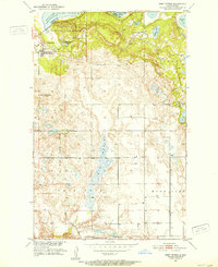 1951 Fort Totten1953 Print · USGSBenson and Ramsey Counties were undergoing significant transitions in the early fifties along the shores of Devils Lake. Genealogists and local historians can locate the Fort Totten Indian Agency, the Great Northern rail line, and rural landmarks like Lone Tree Sch No 1.2 unique versions available
 - 1951 Map of Tokio, 1959 Print
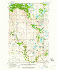 1951 Tokio1959 Print · USGSBenson County in the early 1950s is a landscape defined by the intersection of military history, tribal lands, and glacial lakes. Genealogists and historians can trace old routes like the Old Indian Military Road or locate family sites near Tokio, Saint Michael, and Wood Lake Ch.
 - 1952 Map of New Rockford, 1968 Print
 1952 New Rockford1968 Print · USGSThe North Dakota prairie during the mid-1950s was a landscape of rail-dependent farm towns and vast wildlife refuges. Genealogists and historians can trace the foundations of local communities at Fort Totten Indian Agenc, Concordia Lutheran Church, and the Bowdon Country Church and Cemetery.3 unique versions available
 - 1956 Map of New Rockford
 1956 New Rockford1956 Print · USGSMid-century central North Dakota is captured here as a landscape of prairie rail towns and vast wildlife refuges. Trace family roots at the Bowdon Country Church and Cemetery or locate the old St Michael Mission School and Fort Totten.
 - 1971 Map of New Rockford, 1974 Print
 1971 New Rockford1974 Print · USGSCentral North Dakota was a landscape of wildlife refuges and rail-linked agricultural towns in the early seventies. Genealogists and local historians can trace the development of the Fort Totten Indian Reservation and locate old railway points like Maddock, Hamal, and Kloten.
 - 1981 Map of New Rockford
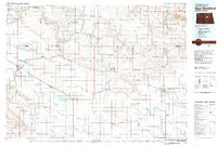 1981 New Rockford1981 Print · USGSCentral North Dakota's prairie heartland is captured here in the early eighties, showing a landscape defined by the Burlington Northern rail lines and sprawling waterfowl refuges. Genealogists and local historians can trace the foundations of New Rockford, Maddock, and Fessenden, alongside landmarks like Tomlinson Field and the Fort Totten Indian Reservation.
 - 1985 Map of Stump Lake
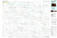 1985 Stump Lake1985 Print · USGSNorth Dakota's lake country in the mid-eighties shows a landscape shaped by the Burlington Northern rail line and tribal lands. Genealogists and historians can locate family sites near Warwick, Tokio, and the Fort Totten Indian Reservation.2 unique versions available
 - 1994 Map of Fort Totten, 1995 Print
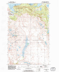 1994 Fort Totten1995 Print · USGSThe shore of Devils Lake and the Sioux Indian Reservation are captured here in the mid-1990s as the landscape balances conservation and community life. Trace the historic Old Military Reservation Boundary or locate local landmarks like Fort Totten and Little Hoop Community College.
 - 2011 Map of Crow Hill, 2011 Print
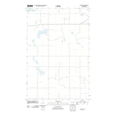 2011 Crow Hill2011 Print · USGSBenson County near the shores of Devils Lake is documented here during the early twenty-first century. Researchers can trace the local road network and land features such as Crow Hill, Twin Lakes, and several BIA Rd routes through the district.
 - 2011 Map of Fort Totten, 2011 Print
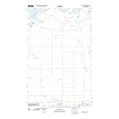 2011 Fort Totten2011 Print · USGSFort Totten and the surrounding lake country are documented here in the early twenty-first century, showing the intersection of tribal agency lands and glacial terrain. Researchers can trace the layout of the Fort Totten Indian Agency and locate specific features like Sullys Hill and Mallard Lake.
 - 2014 Map of Fort Totten, 2014 Print
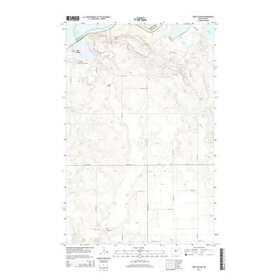 2014 Fort Totten2014 Print · USGSThe Benson and Ramsey county lines meet south of Devils Lake in this recent survey of the Wood Lake District. Trace the modern footprint of Fort Totten, the Cankdeska Cikana Community College, and the winding Sullys Hill Nature Trail.
 - 2014 Map of Crow Hill, 2014 Print
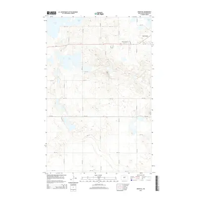 2014 Crow Hill2014 Print · USGSBenson County near the shores of Devils Lake is captured here in the early twenty-first century, showing a mix of historic settlement and rural prairie. Genealogists and researchers can trace local landmarks like Fort Totten, Crow Hill, and the residential layout along Baptist Church Rd.
 - 2018 Map of Fort Totten, 2018 Print
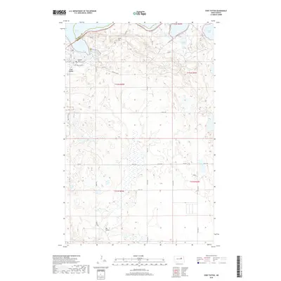 2018 Fort Totten2018 Print · USGSFort Totten and the southern shores of Devils Lake are documented here in the early 21st century. Researchers can trace local history through the Fort Totten Post Cem, the Cankdeska Cikana Community Coll, and landmarks like Sullys Hill.
 - 2018 Map of Crow Hill, 2018 Print
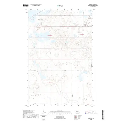 2018 Crow Hill2018 Print · USGSBenson County's glaciated landscape is documented here in the late 2010s, showing the intersection of rural transit and historic community sites. Researchers can trace local heritage at Saint Jeromes Catholic Cem, locate the landmark of Crow Hill, and follow the path of BIA RD 24 near the shoreline.
 - 2020 Map of Crow Hill, 2020 Print
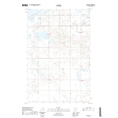 2020 Crow Hill2020 Print · USGSBenson County and the Spirit Lake Reservation are documented here in the 2020s, showing a landscape shaped by prairie waters and rural community life. Genealogists can locate family landmarks like Saint Jeromes Catholic Cem, Christian Church Cem, and the prominent Crow Hill.
 - 2020 Map of Fort Totten, 2020 Print
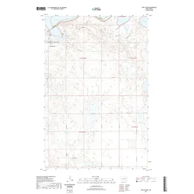 2020 Fort Totten2020 Print · USGSFort Totten and the southern shores of Devils Lake are documented here in the early twenty-first century. Genealogists and local historians can locate the Fort Totten Post Cem and trace developments around Big Coulee and Sullys Hill.
 - 2024 Map of Crow Hill, 2024 Print
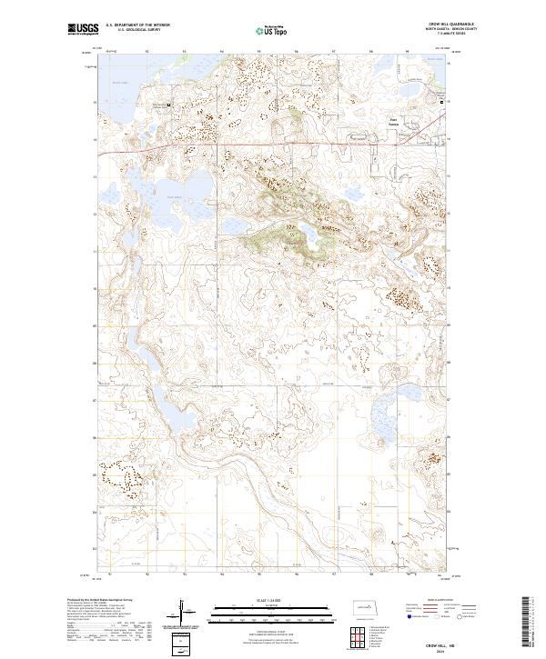 2024 Crow Hill2024 Print · USGSBenson County's lake-strewn landscape is captured here in the contemporary era, centered on the historic community of Fort Totten. Researchers can trace local burial sites at Saint Jeromes Catholic Cem or explore the protected lands of Sullys Hill National Game Preserve.
 - 2024 Map of Fort Totten, 2024 Print
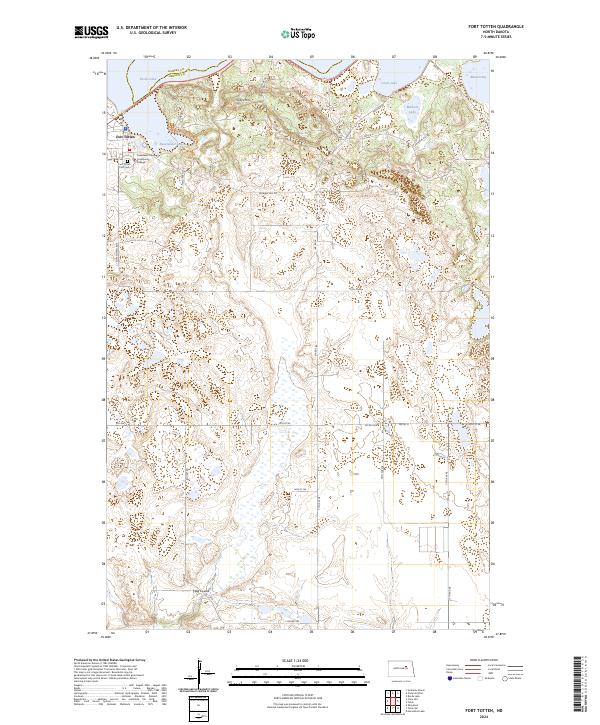 2024 Fort Totten2024 Print · USGSFort Totten and the southern shores of Devils Lake are documented in this contemporary survey of the North Dakota plains. Researchers can locate Fort Totten Post Cem, Cankdeska Cikana Community College, and the sprawling Sullys Hill National Game Preserve.
End of results
Showing maps 1-23 of 23
Top cities near Fort Totten
- Devils Lake historical maps
- Lallie historical maps
- Sheyenne historical maps
- Grand Harbor historical maps
- Oberon historical maps
Frequently asked questions
- What are the different types of historical maps available for Fort Totten?
- What is the oldest map of Fort Totten?
- Where can I purchase historical maps of Fort Totten for my home or office?
- Where can I download high-res historical maps of Fort Totten?
- Are there historical topographic maps available for Fort Totten?
- Is there historical aerial imagery available for Fort Totten?
- Where are historical maps of Fort Totten sourced from?