Old Maps of Carbury, North Dakota for Genealogy
Trace your family roots with 9 historic maps of Carbury. These high-res maps reveal old neighborhoods, homesites, landmarks, and streets — helping you uncover where your ancestors lived and how the area evolved over time.
- Explore historic neighborhoods: Identify where your relatives may have lived in the 1800s or 1900s.
- Compare maps over time: Trace the changes in streets, buildings, and landmarks for multi-generational research.
- Perfect for genealogy & ancestry research: Used by family historians and researchers to map out lineage and migration.
These maps are an incredible resource for exploring your personal connection to Carbury's past.
Carbury, ND maps
(9)- 1954 Map of Minot, 1964 Print
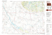
 1954 Minot1964 Print · USGSNorth Dakota's northern borderlands are captured here in the mid-fifties, showing a landscape defined by the winding Souris River and the rise of the Turtle Mountains. Genealogists can locate family-named sidings like Hurd Siding and Truro Siding alongside the vital Great Northern rail lines.3 unique versions available
 - 1956 Map of Carbury, 1957 Print
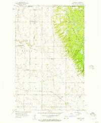 1956 Carbury1957 Print · USGSThe North Dakota borderlands meet the rising Turtle Mountains in the mid-fifties, showing a landscape of high-country lakes and prairie rail towns. Genealogists can locate several rural schools and churches, including Swedish Ch Cem, Eidsvold Sch No 2, and the settlement of Carbury.
 - 1958 Map of Minot
 1958 Minot1958 Print · USGSNorthern North Dakota is shown here during the mid-fifties, dominated by the rail-driven growth of Minot and the surrounding grain-farming prairie. Genealogists can trace family connections to border towns like Westhope or explore the vast reaches of the Turtle Mountains.
 - 1980 Map of Bottineau
 1980 Bottineau1980 Print · USGSNorth Dakota's northern borderlands are shown here in the 1980s, where the high wooded hills of the Turtle Mountains meet the Souris River valley. Genealogists and historians can trace the rail networks of the Soo Line and locate landmarks like San Haven, Butte St Paul, and the International Peace Garden.
 - 2011 Map of Carbury, 2011 Print
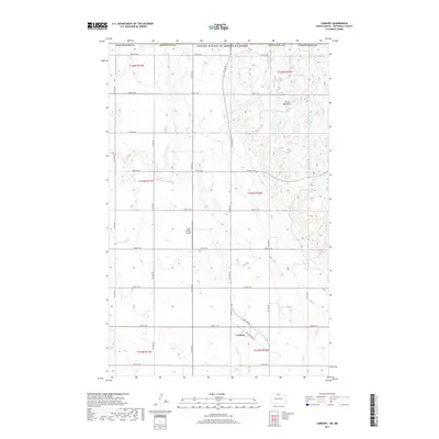
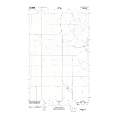 2011 Carbury2011 Print · USGSCovers Carbury, including Municipality of Brenda – Waskada, Municipality of Deloraine – Winchester, and other nearby areas
 - 2014 Map of Carbury, 2014 Print
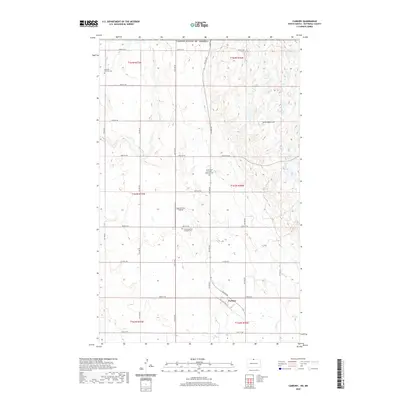
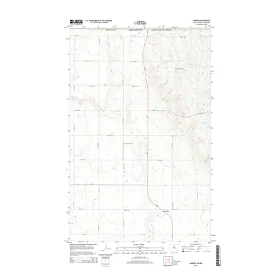 2014 Carbury2014 Print · USGSCovers Carbury, including Municipality of Brenda – Waskada, Municipality of Deloraine – Winchester, and other nearby areas
 - 2017 Map of Carbury, 2017 Print
 2017 Carbury2017 Print · USGSCovers Carbury, including Municipality of Brenda – Waskada, Municipality of Deloraine – Winchester, and other nearby areas
 - 2020 Map of Carbury, 2020 Print
 2020 Carbury2020 Print · USGSCovers Carbury, including Municipality of Brenda – Waskada, Municipality of Deloraine – Winchester, and other nearby areas
 - 2024 Map of Carbury, 2024 Print
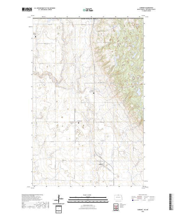 2024 Carbury2024 Print · USGSBottineau County's northern plains meet the edge of the Turtle Mountains in this modern survey of the Canadian borderlands. Researchers can trace the community of Carbury and locate family burial sites at the Swedish Lutheran Cem or Emmanuel Lutheran Brethren Cem.
End of results
Showing maps 1-9 of 9
Top cities near Carbury
Frequently asked questions
- What are the different types of historical maps available for Carbury?
- What is the oldest map of Carbury?
- Where can I purchase historical maps of Carbury for my home or office?
- Where can I download high-res historical maps of Carbury?
- Are there historical topographic maps available for Carbury?
- Is there historical aerial imagery available for Carbury?
- Where are historical maps of Carbury sourced from?