Old Maps of Kuroki, North Dakota for Hiking & Exploration
Hike through history with 8 historic maps of Kuroki. Explore old trails, ghost towns, and forgotten backroads — perfect for outdoor adventurers and local explorers.
- Rediscover forgotten places: Map out old mining camps, roads, and footpaths that no longer exist on modern maps.
- Layer with modern tools: Combine with LiDAR or satellite views to plan hikes through historical terrain.
- Made for exploration: Popular among hikers, overlanders, and local history lovers.
Use these maps to find adventure and explore the hidden past of Kuroki.
Kuroki, ND maps
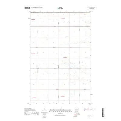
(8)- 1951 Map of Kuroki
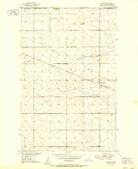 1951 Kuroki1951 Print · USGSThe North Dakota borderlands near Bottineau are captured here in the early fifties, documenting the rail-side community of Kuroki. Genealogists and local historians can trace the Great Northern rail corridor and find landmarks like Rosebud Sch No 2.
 - 1954 Map of Minot, 1964 Print
 1954 Minot1964 Print · USGSNorth Dakota's northern borderlands are captured here in the mid-fifties, showing a landscape defined by the winding Souris River and the rise of the Turtle Mountains. Genealogists can locate family-named sidings like Hurd Siding and Truro Siding alongside the vital Great Northern rail lines.3 unique versions available
 - 1958 Map of Minot
 1958 Minot1958 Print · USGSNorthern North Dakota is shown here during the mid-fifties, dominated by the rail-driven growth of Minot and the surrounding grain-farming prairie. Genealogists can trace family connections to border towns like Westhope or explore the vast reaches of the Turtle Mountains.
 - 2011 Map of Kuroki, 2011 Print
 2011 Kuroki2011 Print · USGSCovers Kuroki, including Bottineau County, Municipality of Two Borders, and other nearby areas
 - 2014 Map of Kuroki, 2014 Print
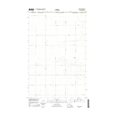 2014 Kuroki2014 Print · USGSCovers Kuroki, including Bottineau County, Municipality of Two Borders, and other nearby areas
 - 2017 Map of Kuroki, 2017 Print
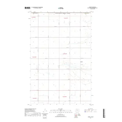 2017 Kuroki2017 Print · USGSCovers Kuroki, including Bottineau County, Municipality of Two Borders, and other nearby areas
 - 2020 Map of Kuroki, 2020 Print
 2020 Kuroki2020 Print · USGSCovers Kuroki, including Bottineau County, Municipality of Two Borders, and other nearby areas
 - 2024 Map of Kuroki, 2024 Print
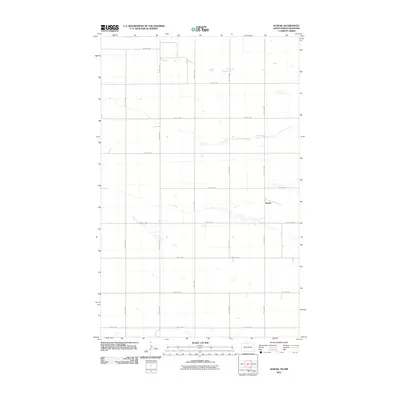
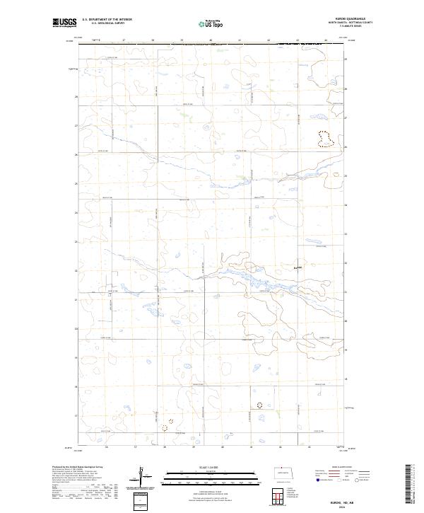 2024 Kuroki2024 Print · USGSNear the international border in northern North Dakota, this mid-2020s survey captures a landscape shaped by glacial wetlands and a strict section-line road grid. Genealogists and local historians can trace the vicinity of Kuroki and the protected lands of the Bottineau County Waterfowl Production Area.
End of results
Showing maps 1-8 of 8
Top cities near Kuroki
Frequently asked questions
- What are the different types of historical maps available for Kuroki?
- What is the oldest map of Kuroki?
- Where can I purchase historical maps of Kuroki for my home or office?
- Where can I download high-res historical maps of Kuroki?
- Are there historical topographic maps available for Kuroki?
- Is there historical aerial imagery available for Kuroki?
- Where are historical maps of Kuroki sourced from?