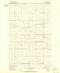
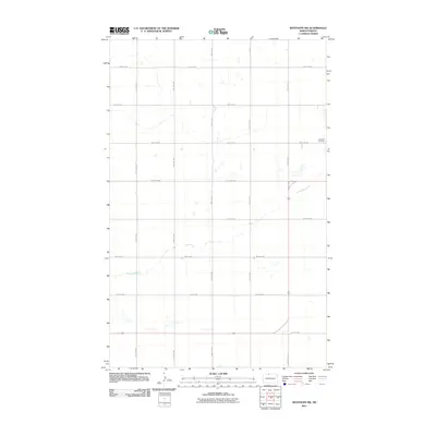
1951 Map of Kuroki
USGS Topo · Published 1951About this map
Kuroki serves as a central point of settlement on the high plains of Bottineau County, positioned along the Great Northern railway line during the early 1950s. The landscape is defined by the subtle drainage patterns of Antler Cr and the winding Hulse Coulee, which traverse a terrain marked by numerous small depressions and prairie potholes characteristic of the region. This survey, part of the Department of the Interior's program for the Missouri River Basin, documents the sparse but vital social infrastructure of the time, including the rural Rosebud Sch No 2. Civil divisions are clearly delineated, with the townships of Wayne, Bentinck, and Sherman meeting in this area. To the north, the boundary between the Canada United States and Manitoba North Dakota is established, highlighting the remote borderland character of this agricultural territory.
Find a feature on this map
11 named features on this map. Tap any name to fly to it.
Don’t see what you’re looking for? This feature index may not catch every label — zoom into the map to look around manually.
Map Details
Editions of this 1951 Kuroki Map
This is the sole edition of this map. No revisions or reprints were ever made.
Other maps of this area

1949 · Westhope SW
USGS Topo · 1:24,000

1950 · Westhope SW
USGS Topo · 1:24,000

1950 · Antler
USGS Topo · 1:24,000
1950 · Renville
USGS Topo · 1:24,000

1951 · Westhope SE
USGS Topo · 1:24,000
1951 · Westhope
USGS Topo · 1:24,000

1954 · Minot
USGS Topo · 1:250,000

1958 · Minot
USGS Topo · 1:250,000
2011 · Renville
USGS Topo · 1:24,000
2011 · Westhope SW
USGS Topo · 1:24,000