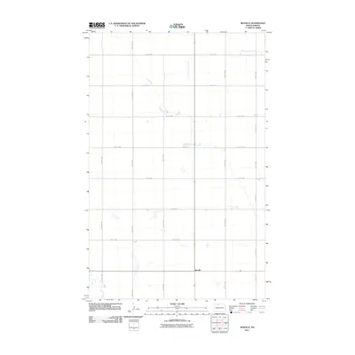
2011 Map of Renville
USGS Topo · Published 2011About this map
Renville anchors this section of the northern plains, sitting at the junction of a precise grid of rural township roads. The landscape is defined by the rigid geometry of the Public Land Survey System, with routes like 100th St NW and 25th Ave Nw marking out the section lines that historically organized the region's agricultural development. This 2011 survey illustrates the modern layout of the area, where isolated farmsteads are connected by a network of gravel and paved roads, including 97th St NW and 26th Ave Nw. Scattered wetlands and small coulees disrupt the flat prairie, providing a window into the natural drainage patterns that persist despite decades of cultivation and road building. The map serves as a detailed record of land use and transportation in Bottineau County during the early 21st century.
Find a feature on this map
14 named features on this map. Tap any name to fly to it.
Don’t see what you’re looking for? This feature index may not catch every label — zoom into the map to look around manually.
Map Details
Editions of this 2011 Renville Map
This is the sole edition of this map. No revisions or reprints were ever made.
Other maps of this area

1948 · Dokken SW
USGS Topo · 1:24,000

1948 · Lansford
USGS Topo · 1:62,500

1949 · Lansford NW
USGS Topo · 1:24,000

1949 · Lansford NE
USGS Topo · 1:24,000

1949 · Maxbass
USGS Topo · 1:24,000

1949 · Westhope SW
USGS Topo · 1:24,000

1950 · Lansford
USGS Topo · 1:62,500

1950 · Westhope SW
USGS Topo · 1:24,000

1950 · Antler NW
USGS Topo · 1:24,000

1950 · Antler
USGS Topo · 1:24,000