
1950 Map of Antler
USGS Topo · Published 1950About this map
Antler sits at the very edge of the Canada United States border in this mid-century survey of the North Dakota plains. The town's grid is defined by its position on the Great Northern railroad, which runs eastward through the grain-growing country. The surrounding landscape in Whelan and Sherman townships is marked by numerous small depressions and sloughs, typical of the regional topography, while South Creek and Antler Creek provide the primary drainage. Local rural infrastructure is visible in landmarks like School No 2 and the Antler Cem, documenting the distribution of the farming community before the consolidation of rural districts. A Gravel Pit near the rail line suggests the localized extraction of materials for road and track maintenance during this era.
Find a feature on this map
13 named features on this map. Tap any name to fly to it.
Don’t see what you’re looking for? This feature index may not catch every label — zoom into the map to look around manually.
Map Details
Editions of this 1950 Antler Map
This is the sole edition of this map. No revisions or reprints were ever made.
Other maps of this area

1948 · Dokken SW
USGS Topo · 1:24,000

1949 · Westhope SW
USGS Topo · 1:24,000

1950 · Westhope SW
USGS Topo · 1:24,000

1950 · Antler NW
USGS Topo · 1:24,000
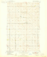
1950 · Renville
USGS Topo · 1:24,000
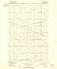
1951 · Kuroki
USGS Topo · 1:24,000

1954 · Minot
USGS Topo · 1:250,000

1958 · Minot
USGS Topo · 1:250,000
2011 · Renville
USGS Topo · 1:24,000
2011 · Antler SW
USGS Topo · 1:24,000