Old Maps of Gascoyne, North Dakota
Explore 15 old maps of Gascoyne, spanning from 1953 to today. These high-resolution historic maps reveal how streets, neighborhoods, landmarks, and natural features evolved over time — perfect for genealogy, metal detecting, research, and local history exploration.
What you can do with these maps:
- See how Gascoyne changed over time: Compare historical maps to modern-day views to trace roads, homesites, rail lines & more.
- View detailed metadata: Each map includes creators, publishers, year, scale, and archive source.
- Overlay maps with satellite & LiDAR: Visualize the past alongside modern tools to explore terrain & human change.
- Trusted historical sources: Maps sourced from the USGS, Library of Congress, and other archives.
- Access maps your way: View online, download high-res files, or order prints for personal or research use.
Start exploring old maps of Gascoyne to uncover forgotten places, hidden landmarks, and the deep history beneath your feet.
Gascoyne, ND maps
(15)- 1953 Map of Dickinson, 1968 Print
 1953 Dickinson1968 Print · USGSWestern North Dakota in the fifties remains a landscape of rail-linked prairie towns and rugged badlands. Trace the local impact of the Northern Pacific railroad through Dickinson or locate early rural landmarks like Rainy Butte Church and Boys Ranch.2 unique versions available
 - 1957 Map of Dickinson
 1957 Dickinson1957 Print · USGSSouthwestern North Dakota in the mid-fifties is a landscape of coal mining and tight-knit rural school districts. Genealogists can trace family footprints through numerous country schools like Fisher School and parish churches like St Stephens.
 - 1969 Map of Gascoyne, 1971 Print
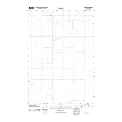
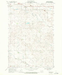 1969 Gascoyne1971 Print · USGSBowman County prairie life in the late sixties centers on the railroad corridor and the small hub of Gascoyne. Genealogists and historians can trace the local infrastructure including the Chicago Milwaukee St Paul and Pacific rail line and the nearby Strip Mine.2 unique versions available
 - 1969 Map of Scranton NE, 1971 Print
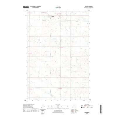
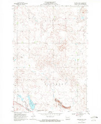 1969 Scranton NE1971 Print · USGSBowman County, North Dakota, is documented here in the late sixties, showing the vital intersection of rail and water. You can trace the Chicago Milwaukee St Paul and Pacific railroad as it skirts Gascoyne Lake and the Gascoyne Corporate Bdy.
 - 1981 Map of Bowman
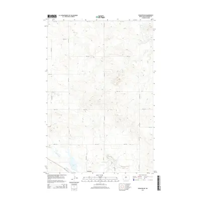
 1981 Bowman1981 Print · USGSSouthwestern North Dakota in the early eighties was a landscape of high-plains ranching and rail-centered commerce. Genealogists and historians can trace the rail towns of Bowman, Marmarth, and Amidon while identifying landmarks like White Butte and Talbot Butte.
 - 2011 Map of Scranton NE, 2011 Print
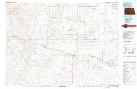
 2011 Scranton NE2011 Print · USGSCovers Gascoyne, including Bowman County, United States, and other nearby areas
 - 2011 Map of Gascoyne, 2011 Print
 2011 Gascoyne2011 Print · USGSCovers Gascoyne, including Bowman County, United States, and other nearby areas
 - 2014 Map of Scranton NE, 2014 Print
 2014 Scranton NE2014 Print · USGSCovers Gascoyne, including Bowman County, United States, and other nearby areas
 - 2014 Map of Gascoyne, 2014 Print
 2014 Gascoyne2014 Print · USGSCovers Gascoyne, including Bowman County, United States, and other nearby areas
 - 2018 Map of Gascoyne, 2018 Print
 2018 Gascoyne2018 Print · USGSCovers Gascoyne, including Bowman County, United States, and other nearby areas
 - 2018 Map of Scranton NE, 2018 Print
 2018 Scranton NE2018 Print · USGSCovers Gascoyne, including Bowman County, United States, and other nearby areas
 - 2020 Map of Gascoyne, 2020 Print
 2020 Gascoyne2020 Print · USGSCovers Gascoyne, including Bowman County, United States, and other nearby areas
 - 2020 Map of Scranton NE, 2020 Print
 2020 Scranton NE2020 Print · USGSCovers Gascoyne, including Bowman County, United States, and other nearby areas
 - 2024 Map of Scranton NE, 2024 Print
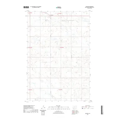
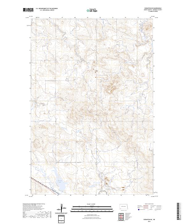 2024 Scranton NE2024 Print · USGSBowman County's prairie landscape is captured in this contemporary survey of the North Dakota high plains. Researchers can trace the modern drainage of Gascoyne Lake and Buffalo Creek alongside local routes like Whiskey Rd.
 - 2024 Map of Gascoyne, 2024 Print
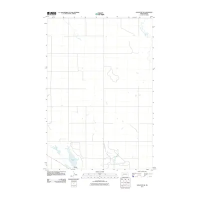
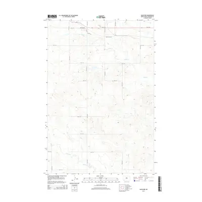
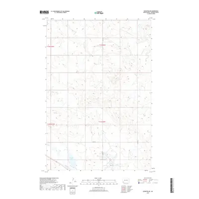
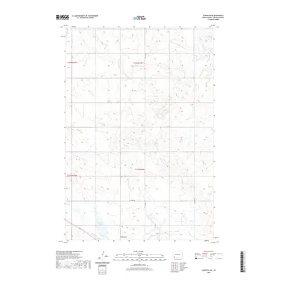
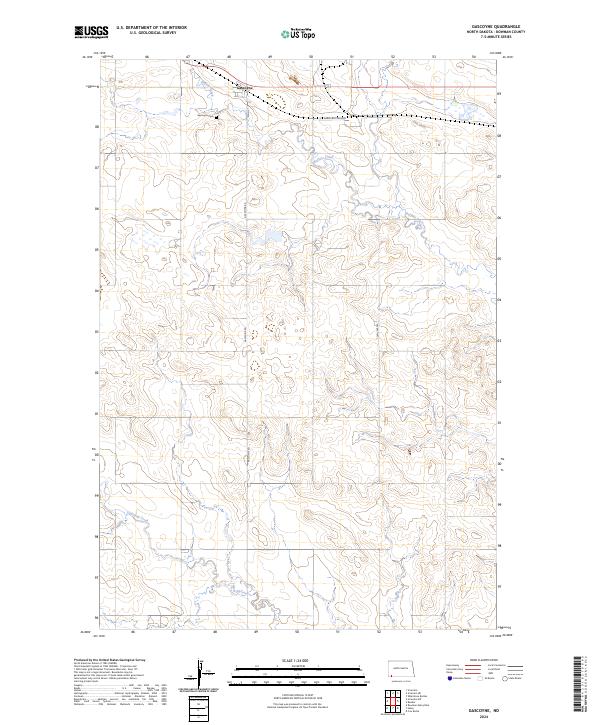 2024 Gascoyne2024 Print · USGSThe small town of Gascoyne and the surrounding North Dakota prairie are documented here in recent years. Genealogists and local historians can trace the town grid along Main St, locate the Gascoyne Cem, and see the industrial site of American Colloid.
End of results
Showing maps 1-15 of 15
Top cities near Gascoyne
Frequently asked questions
- What are the different types of historical maps available for Gascoyne?
- What is the oldest map of Gascoyne?
- Where can I purchase historical maps of Gascoyne for my home or office?
- Where can I download high-res historical maps of Gascoyne?
- Are there historical topographic maps available for Gascoyne?
- Is there historical aerial imagery available for Gascoyne?
- Where are historical maps of Gascoyne sourced from?