Old Maps of Griffin, North Dakota for Metal Detecting
Plan your next treasure hunt with 9 historic maps of Griffin. Find old homesites, ghost towns, trails, and gathering spots that may be lost to time — perfect for identifying promising metal detecting locations.
- Locate forgotten sites: Uncover places like long-lost settlements, abandoned rail lines, or gathering spots.
- Plan better hunts: Use map overlays combined with LiDAR or satellite views to narrow in on historically rich areas.
- Made for detectorists: Thousands of hobbyists use these maps to discover relics, coins, and hidden history.
Use these historic maps to boost your research and find new opportunities beneath the surface of Griffin.
Griffin, ND maps
(9)- 1953 Map of Dickinson, 1968 Print
 1953 Dickinson1968 Print · USGSWestern North Dakota in the fifties remains a landscape of rail-linked prairie towns and rugged badlands. Trace the local impact of the Northern Pacific railroad through Dickinson or locate early rural landmarks like Rainy Butte Church and Boys Ranch.2 unique versions available
 - 1957 Map of Dickinson
 1957 Dickinson1957 Print · USGSSouthwestern North Dakota in the mid-fifties is a landscape of coal mining and tight-knit rural school districts. Genealogists can trace family footprints through numerous country schools like Fisher School and parish churches like St Stephens.
 - 1973 Map of Griffin, 1977 Print
 1973 Griffin1977 Print · USGSBowman County is captured in the early 1970s, showing the high plains landscape as a mix of rail-side industry and cattle country. Genealogists and historians can trace the Chicago Milwaukee St Paul and Pacific rail line through Griffin and locate old Scoria Pits near the Medicine Pole Hills.
 - 1981 Map of Bowman
 1981 Bowman1981 Print · USGSSouthwestern North Dakota in the early eighties was a landscape of high-plains ranching and rail-centered commerce. Genealogists and historians can trace the rail towns of Bowman, Marmarth, and Amidon while identifying landmarks like White Butte and Talbot Butte.
 - 2011 Map of Griffin, 2011 Print
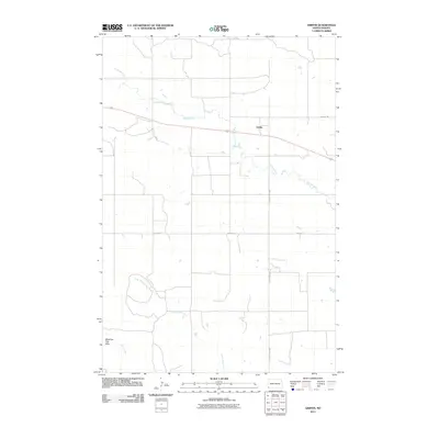 2011 Griffin2011 Print · USGSThe southwestern North Dakota prairie surrounds Griffin in the early twenty-first century, showing a landscape defined by ranch roads and watercourses. Researchers can trace the path of Old Hwy 12 and locate the distinct Medicine Pole Hills south of Spring Creek.
 - 2014 Map of Griffin, 2014 Print
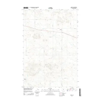 2014 Griffin2014 Print · USGSGriffin and the surrounding high plains of Bowman County are captured in this recent survey of the North Dakota landscape. Researchers can trace the path of US-12 and explore rural topography near the Medicine Pole Hills and Cold Turkey Cr.
 - 2018 Map of Griffin, 2018 Print
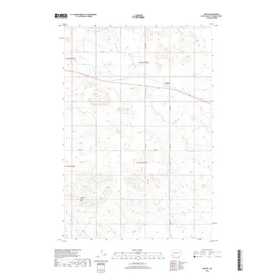 2018 Griffin2018 Print · USGSThe open plains of Bowman County are captured here in the late 2010s, centered on the corridor of Old Hwy 12. You can trace the rugged contours of the Medicine Pole Hills and follow the paths of Cold Turkey Cr and Spring Cr.
 - 2020 Map of Griffin, 2020 Print
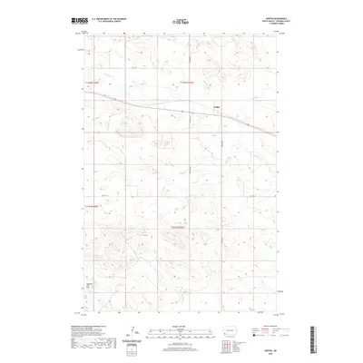 2020 Griffin2020 Print · USGSIn the open ranchlands of Bowman County during the early twenty-first century, the landscape is defined by remote outposts and high prairie drainage. Local historians can trace the path of Old Hwy 12 near Griffin or locate the distinctive Medicine Pole Hills.
 - 2024 Map of Griffin, 2024 Print
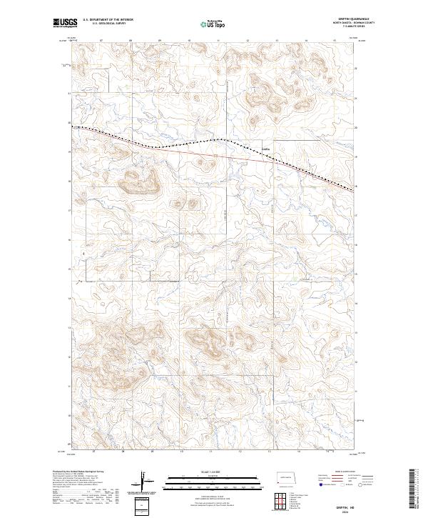 2024 Griffin2024 Print · USGSBowman County prairie lands come into focus in this contemporary survey of the area surrounding Griffin. Local historians can trace the paths of Spring Creek and the route of Old Hwy 12 as they intersect this section-line landscape.
End of results
Showing maps 1-9 of 9
Top cities near Griffin
Frequently asked questions
- What are the different types of historical maps available for Griffin?
- What is the oldest map of Griffin?
- Where can I purchase historical maps of Griffin for my home or office?
- Where can I download high-res historical maps of Griffin?
- Are there historical topographic maps available for Griffin?
- Is there historical aerial imagery available for Griffin?
- Where are historical maps of Griffin sourced from?